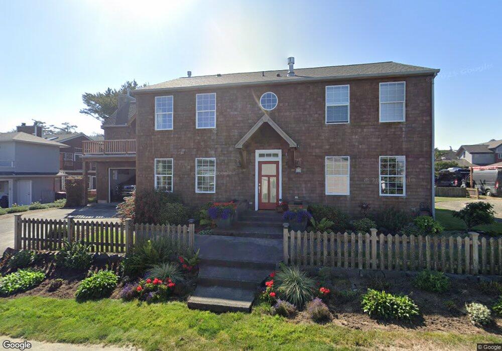
175 W Dawes Ave Cannon Beach, OR 97145
Estimated Value: $1,582,000 - $2,041,761
3
Beds
3
Baths
2,561
Sq Ft
$683/Sq Ft
Est. Value
About This Home
This home is located at 175 W Dawes Ave, Cannon Beach, OR 97145 and is currently estimated at $1,749,440, approximately $683 per square foot. 175 W Dawes Ave is a home located in Clatsop County with nearby schools including Seaside High School and The Cannon Beach Academy.
Ownership History
Date
Name
Owned For
Owner Type
Purchase Details
Closed on
Apr 14, 2025
Sold by
Voth Mitchell D and Voth Jolynn R
Bought by
Mjv Revocable Living Trust and Voth
Current Estimated Value
Purchase Details
Closed on
Nov 9, 2010
Sold by
Salzman Ronald and Salzman Carol
Bought by
Voth Mitchell D and Voth Jolynn R
Home Financials for this Owner
Home Financials are based on the most recent Mortgage that was taken out on this home.
Original Mortgage
$417,000
Interest Rate
3.73%
Mortgage Type
New Conventional
Create a Home Valuation Report for This Property
The Home Valuation Report is an in-depth analysis detailing your home's value as well as a comparison with similar homes in the area
Home Values in the Area
Average Home Value in this Area
Purchase History
| Date | Buyer | Sale Price | Title Company |
|---|---|---|---|
| Mjv Revocable Living Trust | -- | None Listed On Document | |
| Voth Mitchell D | $600,000 | Ticor Title Ins Co |
Source: Public Records
Mortgage History
| Date | Status | Borrower | Loan Amount |
|---|---|---|---|
| Previous Owner | Voth Mitchell D | $417,000 |
Source: Public Records
Tax History Compared to Growth
Tax History
| Year | Tax Paid | Tax Assessment Tax Assessment Total Assessment is a certain percentage of the fair market value that is determined by local assessors to be the total taxable value of land and additions on the property. | Land | Improvement |
|---|---|---|---|---|
| 2024 | $9,694 | $767,989 | -- | -- |
| 2023 | $8,759 | $745,621 | $0 | $0 |
| 2022 | $8,531 | $723,905 | $0 | $0 |
| 2021 | $7,970 | $670,349 | $0 | $0 |
| 2020 | $7,831 | $650,826 | $0 | $0 |
| 2019 | $7,361 | $631,871 | $0 | $0 |
| 2018 | $6,975 | $613,468 | $0 | $0 |
| 2017 | $6,703 | $595,601 | $0 | $0 |
| 2016 | $5,765 | $578,255 | $215,191 | $363,064 |
| 2015 | $5,535 | $561,414 | $208,924 | $352,490 |
| 2014 | $5,356 | $545,063 | $0 | $0 |
| 2013 | -- | $529,189 | $0 | $0 |
Source: Public Records
Map
Nearby Homes
- 107 Sunset Blvd
- 0 E Elliott Way Unit 25-50
- 0 E Elliott Way Unit 6903
- 164 E Hills Ln
- 1631 S Hemlock St
- 1625 Forest Lawn Rd
- 264 E Elliott Way
- 264 Elliott Way
- 1659 Forest Lawn Rd
- 216 E Harrison St
- 131 Arbor Ln
- 296 E Jackson St
- 108 W Jefferson St
- 1880 Pacific St
- 3750 Pacific St
- 421 Elk Creek Rd
- 123 W 1st Ave
- 123 W 1st St
- 123 S Hemlock St
- 123 S Hemlock St Unit 201
- 1331 Pacific St
- 1331 Pacific Dr
- 1331 Pacific Ave
- 1332 1334 S Hemlock St
- 1316 S Hemlock St
- 1341 Rock Ct
- 1332 S Hemlock St
- 1347 Pacific Ave
- 1348 S Hemlock St
- 1316 Pacific Ave
- 1355 Pacific Ave
- 1296 Pacific Ave
- 1338 Pacific Ave
- 1338 Pacific Dr
- 1356 S Hemlock St
- 1348 Pacific Ave
- 1288 Pacific Ave
- 1288 Pacific Ave
- 1356 S Hemlock St
- 1371 Pacific Ave