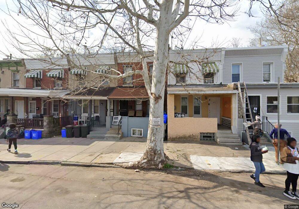
175 W Logan St Philadelphia, PA 19144
Germantown NeighborhoodEstimated Value: $171,000 - $220,000
3
Beds
1
Bath
1,468
Sq Ft
$135/Sq Ft
Est. Value
About This Home
This home is located at 175 W Logan St, Philadelphia, PA 19144 and is currently estimated at $198,087, approximately $134 per square foot. 175 W Logan St is a home located in Philadelphia County with nearby schools including John B. Kelly School, Roosevelt Theodore Middle School, and Martin Luther King High School.
Ownership History
Date
Name
Owned For
Owner Type
Purchase Details
Closed on
Jun 5, 2008
Sold by
Tyree Shantay K
Bought by
Forchheimer Joel
Current Estimated Value
Home Financials for this Owner
Home Financials are based on the most recent Mortgage that was taken out on this home.
Original Mortgage
$29,600
Outstanding Balance
$19,014
Interest Rate
6.07%
Mortgage Type
New Conventional
Estimated Equity
$179,073
Purchase Details
Closed on
Oct 28, 1998
Sold by
Walsh Paul S
Bought by
Tyree Shantay K
Create a Home Valuation Report for This Property
The Home Valuation Report is an in-depth analysis detailing your home's value as well as a comparison with similar homes in the area
Home Values in the Area
Average Home Value in this Area
Purchase History
| Date | Buyer | Sale Price | Title Company |
|---|---|---|---|
| Forchheimer Joel | $37,000 | None Available | |
| Tyree Shantay K | $25,000 | -- |
Source: Public Records
Mortgage History
| Date | Status | Borrower | Loan Amount |
|---|---|---|---|
| Open | Forchheimer Joel | $29,600 |
Source: Public Records
Tax History Compared to Growth
Tax History
| Year | Tax Paid | Tax Assessment Tax Assessment Total Assessment is a certain percentage of the fair market value that is determined by local assessors to be the total taxable value of land and additions on the property. | Land | Improvement |
|---|---|---|---|---|
| 2025 | $1,478 | $172,900 | $34,580 | $138,320 |
| 2024 | $1,478 | $172,900 | $34,580 | $138,320 |
| 2023 | $1,478 | $105,600 | $21,100 | $84,500 |
| 2022 | $1,208 | $105,600 | $21,100 | $84,500 |
| 2021 | $1,208 | $0 | $0 | $0 |
| 2020 | $1,208 | $0 | $0 | $0 |
| 2019 | $1,261 | $0 | $0 | $0 |
| 2018 | $864 | $0 | $0 | $0 |
| 2017 | $864 | $0 | $0 | $0 |
| 2016 | $864 | $0 | $0 | $0 |
| 2015 | $694 | $0 | $0 | $0 |
| 2014 | -- | $66,100 | $7,294 | $58,806 |
| 2012 | -- | $5,760 | $1,124 | $4,636 |
Source: Public Records
Map
Nearby Homes
- 173 W Wyneva St
- 228 W Seymour St
- 130 W Logan St
- 214 W Abbottsford Ave
- 4845 Pulaski Ave
- 109 W Logan St
- 4910 Greene St
- 113 W Abbottsford Ave
- 4623 Pulaski Ave
- 5037 Keyser St
- 4706 Greene St
- 178 W Manheim St
- 107 W Seymour St
- 157 W Apsley St
- 5012 Greene St
- 4641 Fernhill Rd
- 137 W Manheim St
- 4551 Pulaski Ave
- 55 W Seymour St
- 4545 Pulaski Ave
- 177 W Logan St
- 173 W Logan St
- 179 W Logan St
- 171 W Logan St
- 181 W Logan St
- 185 W Logan St
- 4914 Keyser St
- 187 W Logan St
- 4916 Keyser St
- 4918 Keyser St
- 167 69 W Logan St
- 103 W Logan St
- 172 W Logan St
- 4920 Keyser St
- 174 W Logan St
- 176 W Logan St
- 4903 Wayne Ave
- 4907 Wayne Ave
- 4901 Wayne Ave Unit 1
- 4901 Wayne Ave Unit 2