175 Walters Farm Ln Patrick, SC 29584
Estimated Value: $163,000 - $457,000
Studio
--
Bath
--
Sq Ft
1,881,792
Sq Ft Lot
About This Home
This home is located at 175 Walters Farm Ln, Patrick, SC 29584 and is currently estimated at $358,656. 175 Walters Farm Ln is a home with nearby schools including McBee Elementary School, McBee High School, and New Heights Middle School.
Ownership History
Date
Name
Owned For
Owner Type
Purchase Details
Closed on
Sep 7, 2021
Sold by
Pinhigh Partners Llc
Bought by
Gilmore Road Llc
Current Estimated Value
Purchase Details
Closed on
Aug 26, 2021
Sold by
Hilderbrand Heather Lynn
Bought by
Hilderbrand Ernest Edward
Purchase Details
Closed on
May 31, 2017
Sold by
Davis Thomas H
Bought by
Hilderbrand Heather Lynn and Hilderbrand Ernest Edward
Home Financials for this Owner
Home Financials are based on the most recent Mortgage that was taken out on this home.
Original Mortgage
$63,700
Interest Rate
3.62%
Mortgage Type
Adjustable Rate Mortgage/ARM
Create a Home Valuation Report for This Property
The Home Valuation Report is an in-depth analysis detailing your home's value as well as a comparison with similar homes in the area
Purchase History
| Date | Buyer | Sale Price | Title Company |
|---|---|---|---|
| Gilmore Road Llc | -- | None Available | |
| Hilderbrand Ernest Edward | -- | None Available | |
| Hilderbrand Heather Lynn | $80,000 | None Available |
Source: Public Records
Mortgage History
| Date | Status | Borrower | Loan Amount |
|---|---|---|---|
| Previous Owner | Hilderbrand Heather Lynn | $63,700 |
Source: Public Records
Tax History
| Year | Tax Paid | Tax Assessment Tax Assessment Total Assessment is a certain percentage of the fair market value that is determined by local assessors to be the total taxable value of land and additions on the property. | Land | Improvement |
|---|---|---|---|---|
| 2025 | $1,401 | $10,640 | $360 | $10,280 |
| 2024 | $1,161 | $9,280 | $340 | $8,940 |
| 2023 | $1,111 | $9,280 | $340 | $8,940 |
| 2022 | $1,052 | $9,280 | $340 | $8,940 |
| 2021 | $1,048 | $9,280 | $340 | $8,940 |
| 2020 | $4,391 | $13,840 | $440 | $13,400 |
| 2019 | $52 | $150 | $150 | $0 |
| 2018 | $52 | $150 | $150 | $0 |
| 2015 | $41 | $150 | $150 | $0 |
| 2014 | $41 | $150 | $150 | $0 |
| 2010 | -- | $380 | $380 | $0 |
Source: Public Records
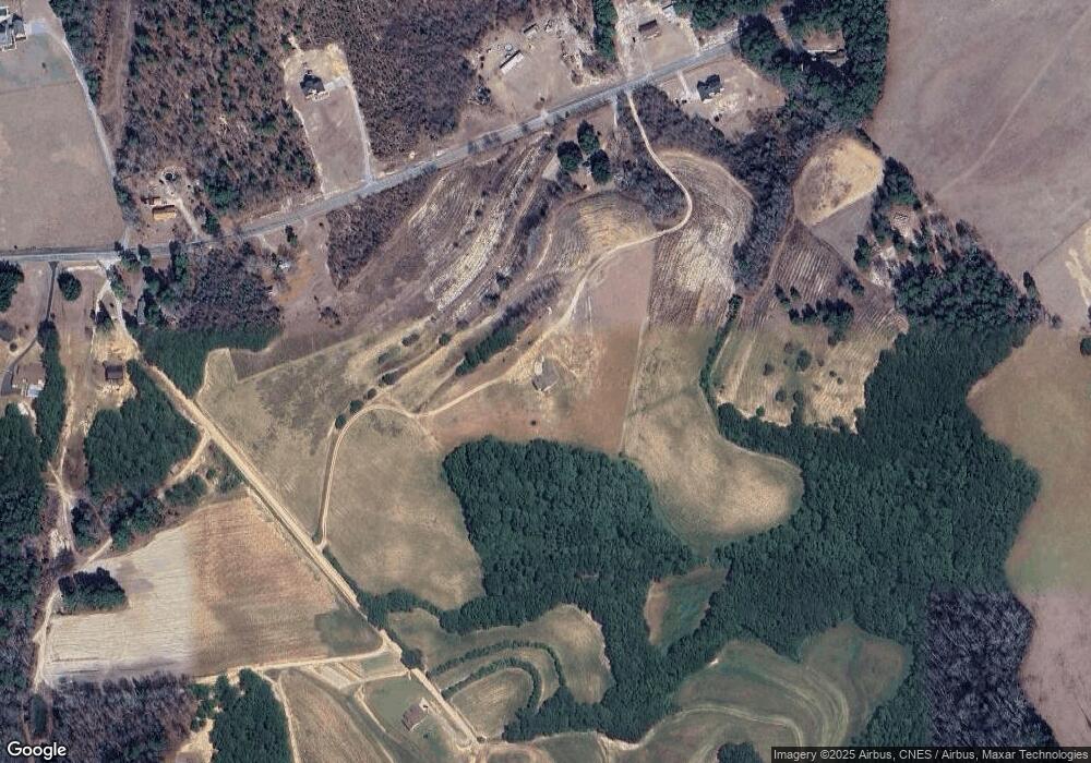
Map
Nearby Homes
- Bff 1b Brunson Teal Rd Unit Bff 1b
- BFF II 6 Brunson Teal Rd
- Bff 1a Brunson Teal Rd Unit Bff 1a
- BFF II 6 Brunson Teal Rd Unit BFF II 6
- Bff Ii 7 Brunson Teal Rd
- BFF II 8 Brunson Teal Rd
- BFF II 5 Brunson Teal Rd Unit BFF II 5
- BFF II 5 Brunson Teal Rd
- BFF II 8 Brunson Teal Rd Unit BFF II 8
- Bff 1d Brunson Teal Rd Unit Bff 1d
- 2725 Mount Olivet Rd
- 2627 Smith Hill Rd
- Bff 1e Brunson Teal Rd
- Bff 1d J C Barefoot Rd
- BFF 1D J C Barefoot Rd Unit BFF 1D
- BFF 1B J C Barefoot Rd Unit BFF 1B
- BFF II 2 J C Barefoot Rd Unit BFF II 2
- BFF II 4 J C Barefoot Rd
- BFF II 3 J C Barefoot Rd Unit BFF II 3
- BFF 1A J C Barefoot Rd Unit BFF 1A
- 40 Walters Farm Ln
- 440 Mount Olivet Church Rd
- 210 Walters Farm Ln
- 382 Mount Olivet Church Rd
- 356 Mount Olivet Church Rd
- 322 Mount Olivet Church Rd
- 553 Mount Olivet Church Rd
- 17957 Highway 102
- 17593 Highway 102
- 405 Mount Olivet Church Rd
- 751 Mount Olivet Church Rd
- 800 Mount Olivet Church Rd
- 17741 Highway 102
- 151 Mount Olivet Church Rd
- 150 Shoe Hill Ln
- 850 & 885 Mount Olivet Church Rd
- 17560 Highway 102
- 50 Mount Olivet Church Rd
- 2868 Cow Pasture Rd
- 977 Mount Olivet Church Rd
Your Personal Tour Guide
Ask me questions while you tour the home.