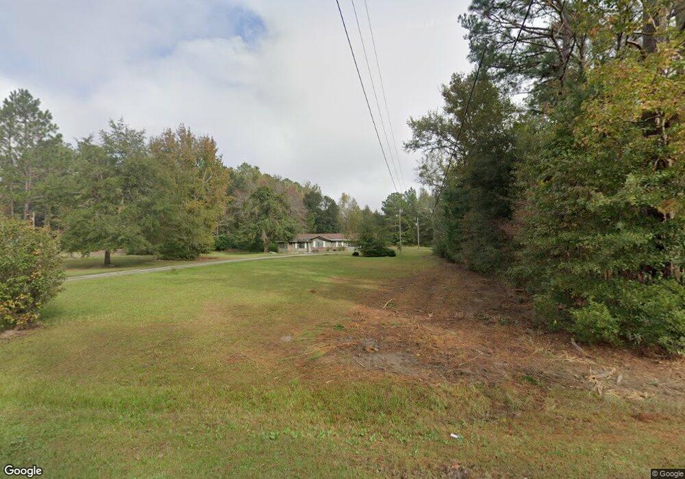
175 Westfield Rd Midway, GA 31320
Estimated Value: $130,000 - $266,000
3
Beds
1
Bath
1,718
Sq Ft
$118/Sq Ft
Est. Value
About This Home
This home is located at 175 Westfield Rd, Midway, GA 31320 and is currently estimated at $202,985, approximately $118 per square foot. 175 Westfield Rd is a home located in Liberty County with nearby schools including Liberty Elementary School, Midway Middle School, and Liberty County High School.
Ownership History
Date
Name
Owned For
Owner Type
Purchase Details
Closed on
Sep 8, 2023
Sold by
Gadson Clarence
Bought by
Gadson Clarence Trust and Gadson Clarence Tr
Current Estimated Value
Purchase Details
Closed on
Feb 22, 2023
Sold by
Gadson Clarence
Bought by
Lee Ernest R and Lee Patty B
Purchase Details
Closed on
Apr 19, 2012
Sold by
Hills Virginia
Bought by
Hills Jessica
Purchase Details
Closed on
Feb 14, 2012
Sold by
Singleton Edward
Bought by
Hills Virginia
Purchase Details
Closed on
Feb 6, 2012
Sold by
Singleton Edward
Bought by
Cooper Dorothy
Purchase Details
Closed on
Aug 21, 1995
Sold by
Singleton Leary Mae and Singleton Edward
Bought by
Singleton Edward
Purchase Details
Closed on
Mar 15, 1968
Bought by
Singleton Edward
Create a Home Valuation Report for This Property
The Home Valuation Report is an in-depth analysis detailing your home's value as well as a comparison with similar homes in the area
Home Values in the Area
Average Home Value in this Area
Purchase History
| Date | Buyer | Sale Price | Title Company |
|---|---|---|---|
| Gadson Clarence Trust | -- | -- | |
| Lee Ernest R | -- | -- | |
| Hills Jessica | -- | -- | |
| Hills Virginia | -- | -- | |
| Cooper Dorothy | -- | -- | |
| Cooper Dorothy | -- | -- | |
| Singleton Edward | -- | -- | |
| Singleton Edward | -- | -- |
Source: Public Records
Tax History Compared to Growth
Tax History
| Year | Tax Paid | Tax Assessment Tax Assessment Total Assessment is a certain percentage of the fair market value that is determined by local assessors to be the total taxable value of land and additions on the property. | Land | Improvement |
|---|---|---|---|---|
| 2024 | $2,096 | $46,459 | $8,017 | $38,442 |
| 2023 | $2,096 | $43,683 | $9,146 | $34,537 |
| 2022 | $1,584 | $36,632 | $9,146 | $27,486 |
| 2021 | $1,467 | $33,728 | $9,146 | $24,582 |
| 2020 | $1,479 | $34,154 | $9,146 | $25,008 |
| 2019 | $1,461 | $34,579 | $9,146 | $25,433 |
| 2018 | $1,621 | $39,336 | $13,959 | $25,377 |
| 2017 | $1,309 | $39,754 | $13,959 | $25,795 |
| 2016 | $1,432 | $40,172 | $13,959 | $26,213 |
| 2015 | $1,451 | $38,801 | $12,588 | $26,213 |
| 2014 | $1,451 | $40,267 | $12,588 | $27,679 |
| 2013 | -- | $32,052 | $5,655 | $26,397 |
Source: Public Records
Map
Nearby Homes
- 151 Turning Point Ln
- 1 Acre Holmestown Rd
- 1.0 Acre Holmestown Rd
- TRACT 1 U S Highway 84 E
- 6223 E Oglethorpe Hwy
- 334 Isaac Stevens Rd
- 6228 E Oglethorpe Hwy
- 4620 E Oglethorpe Hwy
- 658 Red Oak Ln
- 6.18 ACRES McIntosh Lake Rd
- 7337 E Oglethorpe Hwy
- 1109 Sara Ln
- 747 English Oak Dr
- 737 English Oak Dr
- 236 Providence Loop
- 216 Providence Loop
- 1232 Peacock Trail
- 70 Holmestown Loop Rd
- 182 Westfield Rd
- 231 Westfield Rd
- 180 Holmestown Loop Rd
- 236 Westfield Rd
- 290 Holmestown Loop Rd
- 63 Holmestown Loop Rd
- 131 Freddie Walthour Sr Rd
- 19 Westfield Rd
- 171 Freddie Walthour Sr Rd
- 80 Freddie Walthour Sr Rd
- 104 Freddie Walthour Sr Rd
- 328 Westfield Rd
- 328 Westfield Rd
- 219 Freddie Walthour Sr Rd
- 000 Holmestown Loop Rd
- 362 Westfield Rd
- 365 Holmestown Loop Rd
- 382 Westfield Rd
- 432 Holmestown Loop Rd