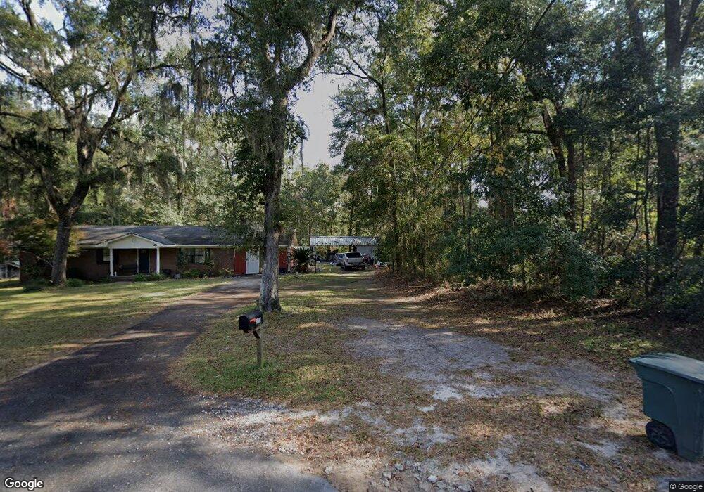
175 Whetstone St Hinesville, GA 31313
Estimated Value: $208,000 - $271,000
4
Beds
3
Baths
1,800
Sq Ft
$132/Sq Ft
Est. Value
About This Home
This home is located at 175 Whetstone St, Hinesville, GA 31313 and is currently estimated at $237,321, approximately $131 per square foot. 175 Whetstone St is a home located in Liberty County with nearby schools including Frank Long Elementary School, Lewis Frasier Middle School, and Bradwell Institute.
Ownership History
Date
Name
Owned For
Owner Type
Purchase Details
Closed on
May 28, 2014
Sold by
Padrick Roland Alfonza
Bought by
Vois Dante
Current Estimated Value
Home Financials for this Owner
Home Financials are based on the most recent Mortgage that was taken out on this home.
Original Mortgage
$152,625
Outstanding Balance
$116,957
Interest Rate
4.4%
Mortgage Type
FHA
Estimated Equity
$120,364
Purchase Details
Closed on
Apr 23, 1985
Bought by
Padrick Roland A
Create a Home Valuation Report for This Property
The Home Valuation Report is an in-depth analysis detailing your home's value as well as a comparison with similar homes in the area
Home Values in the Area
Average Home Value in this Area
Purchase History
| Date | Buyer | Sale Price | Title Company |
|---|---|---|---|
| Vois Dante | $160,000 | -- | |
| Padrick Roland A | -- | -- |
Source: Public Records
Mortgage History
| Date | Status | Borrower | Loan Amount |
|---|---|---|---|
| Open | Vois Dante | $152,625 |
Source: Public Records
Tax History Compared to Growth
Tax History
| Year | Tax Paid | Tax Assessment Tax Assessment Total Assessment is a certain percentage of the fair market value that is determined by local assessors to be the total taxable value of land and additions on the property. | Land | Improvement |
|---|---|---|---|---|
| 2024 | $3,025 | $61,489 | $12,800 | $48,689 |
| 2023 | $3,025 | $56,914 | $13,056 | $43,858 |
| 2022 | $2,300 | $49,312 | $13,056 | $36,256 |
| 2021 | $2,206 | $46,420 | $13,056 | $33,364 |
| 2020 | $2,187 | $45,593 | $13,056 | $32,537 |
| 2019 | $2,200 | $46,209 | $13,056 | $33,153 |
| 2018 | $2,197 | $46,418 | $13,056 | $33,362 |
| 2017 | $1,549 | $47,034 | $13,056 | $33,978 |
| 2016 | $2,121 | $47,034 | $13,056 | $33,978 |
| 2015 | $2,012 | $42,860 | $13,056 | $29,804 |
| 2014 | $2,012 | $44,098 | $13,056 | $31,042 |
| 2013 | -- | $41,352 | $13,056 | $28,296 |
Source: Public Records
Map
Nearby Homes
- 388 Meloney Dr
- 209 Chandra Way
- 130 Mattie St
- 910 W Oglethorpe Hwy
- 806 Fairview Cir
- 484 Fairview Cir
- 154 Cherokee Oaks Crossing
- 211 Cherokee Trail
- 265 Miller St
- 645 Deer Meadow Way
- 625 Deer Meadow Way
- 593 Deer Meadow Way
- 356 Deer Meadow Way
- 575 Deer Meadow Way
- 534 Deer Meadow Way
- 514 Deer Meadow Way
- 492 Deer Meadow Way
- 535 Deer Meadow Way
- 283 Antler Ave
- 265 Antler Ave
- 0 Whetstone Cir
- 145 Whetstone St
- 2.49 Ac Whetstone St
- 150 Whetstone St
- 92 Gibson St
- 0 Whetstone St
- 125 Gibson St
- 118 Saint Andrews St
- 93 Gibson St
- 399 Meloney Dr
- 397 Meloney Dr
- 401 Meloney Dr
- 395 Meloney Dr
- 498 Saint Johns Rd
- 393 Meloney Dr
- 403 Meloney Dr
- 384 Saint Johns Rd
- 68 Whetstone St
- 391 Meloney Dr
- 405 Meloney Dr