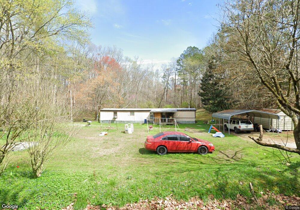
175 Who Cares Ave La Fayette, GA 30728
Estimated Value: $56,634 - $242,000
--
Bed
--
Bath
--
Sq Ft
1.22
Acres
About This Home
This home is located at 175 Who Cares Ave, La Fayette, GA 30728 and is currently estimated at $157,159. 175 Who Cares Ave is a home with nearby schools including Naomi Elementary School, Lafayette Middle School, and Lafayette High School.
Ownership History
Date
Name
Owned For
Owner Type
Purchase Details
Closed on
Nov 5, 2012
Sold by
Croy Charlene Ridley
Bought by
Goodman Phyllis and Long Richard Allen
Current Estimated Value
Purchase Details
Closed on
Jun 18, 2012
Sold by
Mcgaugh Layla
Bought by
Goodman Phyllis
Purchase Details
Closed on
Jan 25, 1989
Sold by
Russell Charles A
Bought by
Croy Wilburn and Croy Charlene
Purchase Details
Closed on
Dec 8, 1988
Sold by
Bagley Dennis Aubrey and Bagley Teresa
Bought by
Russell Charles A
Purchase Details
Closed on
Nov 1, 1986
Sold by
Bagley Dennis Aubrey and Bagley Teresa
Bought by
Bagley Dennis Aubrey and Bagley Teresa
Purchase Details
Closed on
Jun 16, 1986
Sold by
Phillips Henry C and Phillips Molly J
Bought by
Bagley Dennis Aubrey and Bagley Teresa
Purchase Details
Closed on
Aug 1, 1980
Bought by
Phillips Henry C and Phillips Molly J
Create a Home Valuation Report for This Property
The Home Valuation Report is an in-depth analysis detailing your home's value as well as a comparison with similar homes in the area
Home Values in the Area
Average Home Value in this Area
Purchase History
| Date | Buyer | Sale Price | Title Company |
|---|---|---|---|
| Goodman Phyllis | -- | -- | |
| Goodman Phyllis | -- | -- | |
| Croy Wilburn | $16,700 | -- | |
| Russell Charles A | $1,000 | -- | |
| Bagley Dennis Aubrey | -- | -- | |
| Bagley Dennis Aubrey | $3,000 | -- | |
| Phillips Henry C | -- | -- |
Source: Public Records
Tax History Compared to Growth
Tax History
| Year | Tax Paid | Tax Assessment Tax Assessment Total Assessment is a certain percentage of the fair market value that is determined by local assessors to be the total taxable value of land and additions on the property. | Land | Improvement |
|---|---|---|---|---|
| 2024 | $194 | $9,565 | $8,452 | $1,113 |
| 2023 | $162 | $7,821 | $6,708 | $1,113 |
| 2022 | $91 | $3,915 | $2,802 | $1,113 |
| 2021 | $96 | $3,730 | $2,802 | $928 |
| 2020 | $110 | $4,135 | $2,802 | $1,333 |
| 2019 | $113 | $4,135 | $2,802 | $1,333 |
| 2018 | $74 | $2,802 | $2,802 | $0 |
| 2017 | $84 | $2,802 | $2,802 | $0 |
| 2016 | $69 | $2,802 | $2,802 | $0 |
| 2015 | $120 | $4,588 | $4,588 | $0 |
| 2014 | $116 | $4,588 | $4,588 | $0 |
| 2013 | -- | $4,588 | $4,588 | $0 |
Source: Public Records
Map
Nearby Homes
- 450 Arnold Ln
- 1934 Round Pond Rd
- 176 Turkey Ridge Rd
- 121 Stock Dog Ln
- 7606 Highway 95
- 1052 Huffman Rd
- 533 Van Dell Dr
- 201 Van Dell Dr
- 0 Clyde Byrd Rd
- 0 Colbert Hollow Rd Unit 1513202
- 1585 E Reed Rd
- 635 Cook Rd
- 58 Willow Cir
- 901 Dunwoody Rd
- 1039 Dunwoody Rd
- 1186 E Reed Rd
- 23 Raleigh Dr
- 3255 Colbert Hollow Rd
- 4384 Round Pond Rd
- 123 Who Cares Ave
- 192 Who Cares Ave
- 75 Who Cares Ave
- 469 Round Pond Rd
- 66 Who Cares Ave
- 261 Who Cares Ave
- 48 Charlie Stephenson Rd
- 86 Katie Ln
- 537 Round Pond Rd
- 573 Round Pond Rd
- 62 Cathy Ln
- 505 Round Pond Rd
- 26 Charlie Stephenson Rd
- 69 Katie Ln
- 144 Katie Ln
- 0 McGaha Rd Unit 8249188
- 0 McGaha Rd
- 0 McGaha Rd Unit LOT 1009033
- 0 McGaha Rd Unit 1085344
- 0 McGaha Rd Unit 3945