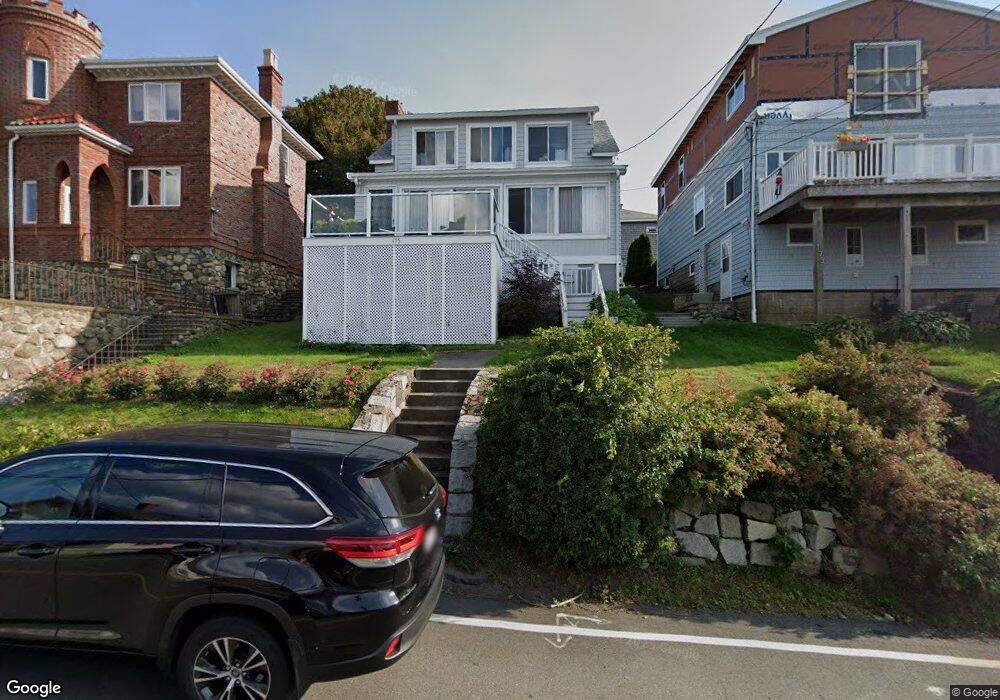
175 Wilson Rd Nahant, MA 01908
Estimated Value: $819,733 - $936,000
3
Beds
2
Baths
1,461
Sq Ft
$600/Sq Ft
Est. Value
About This Home
This home is located at 175 Wilson Rd, Nahant, MA 01908 and is currently estimated at $876,433, approximately $599 per square foot. 175 Wilson Rd is a home located in Essex County with nearby schools including Johnson Elementary School, Swampscott Middle School, and Swampscott High School.
Ownership History
Date
Name
Owned For
Owner Type
Purchase Details
Closed on
Aug 10, 2005
Sold by
Sokolow Richard T
Bought by
Banchongmanie Ronachai and Banchongmanie Supunpim
Current Estimated Value
Home Financials for this Owner
Home Financials are based on the most recent Mortgage that was taken out on this home.
Original Mortgage
$359,650
Outstanding Balance
$187,470
Interest Rate
5.54%
Mortgage Type
Purchase Money Mortgage
Estimated Equity
$688,963
Purchase Details
Closed on
Mar 28, 2005
Sold by
Pinakas Triantafillos J
Bought by
Sokolow Richard T
Create a Home Valuation Report for This Property
The Home Valuation Report is an in-depth analysis detailing your home's value as well as a comparison with similar homes in the area
Home Values in the Area
Average Home Value in this Area
Purchase History
| Date | Buyer | Sale Price | Title Company |
|---|---|---|---|
| Banchongmanie Ronachai | $537,500 | -- | |
| Sokolow Richard T | $411,000 | -- |
Source: Public Records
Mortgage History
| Date | Status | Borrower | Loan Amount |
|---|---|---|---|
| Open | Banchongmanie Ronachai | $359,650 |
Source: Public Records
Tax History Compared to Growth
Tax History
| Year | Tax Paid | Tax Assessment Tax Assessment Total Assessment is a certain percentage of the fair market value that is determined by local assessors to be the total taxable value of land and additions on the property. | Land | Improvement |
|---|---|---|---|---|
| 2025 | $7,193 | $786,100 | $475,600 | $310,500 |
| 2024 | $6,964 | $767,800 | $457,300 | $310,500 |
| 2023 | $6,312 | $694,400 | $402,500 | $291,900 |
| 2022 | $5,977 | $610,500 | $347,600 | $262,900 |
| 2021 | $5,865 | $558,000 | $311,000 | $247,000 |
| 2020 | $5,740 | $523,200 | $311,000 | $212,200 |
| 2019 | $5,071 | $464,800 | $274,400 | $190,400 |
| 2018 | $4,720 | $460,500 | $274,400 | $186,100 |
| 2017 | $4,772 | $455,800 | $274,400 | $181,400 |
| 2016 | $4,624 | $439,500 | $265,300 | $174,200 |
| 2015 | $4,250 | $389,200 | $215,000 | $174,200 |
| 2014 | $4,293 | $389,200 | $215,000 | $174,200 |
Source: Public Records
Map
Nearby Homes
- 36 Lennox Rd
- 9 Little Nahant Rd
- 23 Phillips Rd
- 66 Ocean St
- 17 Pearl Rd
- 43 Maple Ave
- 2 Goddard Dr
- 303 Nahant Rd
- 183 Bass Point Rd
- 51 Cliff St
- 9 Beach Rd Unit 4
- 3 Cliff St
- 98 Lynnway Unit 102
- 45 Tudor St Unit 3-8
- 12 Chancery Ct Unit 205
- 12 Chancery Ct Unit 207
- 41 Tudor St
- 107 Lynnway
- 154 Lynnway Unit 520
- 154 Lynnway Unit 205
- 173 Wilson Rd
- 179 Wilson Rd
- 171 Wilson Rd
- 78B Lennox Rd Unit 78B
- 78 Lennox Rd Unit 80
- 78 Lennox Rd Unit 80
- 78 Lennox Rd Unit 80
- 78 Lennox Rd Unit 80
- 78 Lennox Rd Unit B
- 78 Lennox Rd Unit B
- 78B Lennox Rd Unit 3 B
- 78 Lennox Rd Unit 3
- 200 Wilson Rd Unit 3
- 200 Wilson Rd Unit 2
- 200 Wilson Rd Unit 1
- 200 Wilson Rd Unit ONE
- 84 Lennox Rd
- 182 Wilson Rd
- 202 Wilson Rd
- 176 Wilson Rd