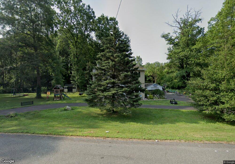
175 Woolston Dr Morrisville, PA 19067
Estimated Value: $511,612 - $652,000
--
Bed
3
Baths
2,100
Sq Ft
$272/Sq Ft
Est. Value
About This Home
This home is located at 175 Woolston Dr, Morrisville, PA 19067 and is currently estimated at $570,403, approximately $271 per square foot. 175 Woolston Dr is a home located in Bucks County with nearby schools including Eleanor Roosevelt Elementary School, Pennwood Middle School, and Pennsbury High School.
Ownership History
Date
Name
Owned For
Owner Type
Purchase Details
Closed on
Apr 1, 2015
Sold by
Chiehowsky Theodore Stanley
Bought by
Frost Jessica
Current Estimated Value
Purchase Details
Closed on
Feb 6, 1991
Sold by
Chiehowsky
Bought by
Chiehowsky Theodore Stanley
Purchase Details
Closed on
Sep 3, 1975
Bought by
Chiehowsky
Create a Home Valuation Report for This Property
The Home Valuation Report is an in-depth analysis detailing your home's value as well as a comparison with similar homes in the area
Home Values in the Area
Average Home Value in this Area
Purchase History
| Date | Buyer | Sale Price | Title Company |
|---|---|---|---|
| Frost Jessica | -- | None Available | |
| Chiehowsky Theodore Stanley | -- | -- | |
| Chiehowsky | -- | -- |
Source: Public Records
Tax History Compared to Growth
Tax History
| Year | Tax Paid | Tax Assessment Tax Assessment Total Assessment is a certain percentage of the fair market value that is determined by local assessors to be the total taxable value of land and additions on the property. | Land | Improvement |
|---|---|---|---|---|
| 2025 | $5,790 | $26,000 | $5,200 | $20,800 |
| 2024 | $5,790 | $26,000 | $5,200 | $20,800 |
| 2023 | $5,548 | $26,000 | $5,200 | $20,800 |
| 2022 | $5,375 | $26,000 | $5,200 | $20,800 |
| 2021 | $5,271 | $26,000 | $5,200 | $20,800 |
| 2020 | $5,271 | $26,000 | $5,200 | $20,800 |
| 2019 | $5,179 | $26,000 | $5,200 | $20,800 |
| 2018 | $5,115 | $26,000 | $5,200 | $20,800 |
| 2017 | $4,986 | $26,000 | $5,200 | $20,800 |
| 2016 | $4,986 | $26,000 | $5,200 | $20,800 |
| 2015 | $4,547 | $26,000 | $5,200 | $20,800 |
| 2014 | $4,547 | $26,000 | $5,200 | $20,800 |
Source: Public Records
Map
Nearby Homes
- 10 Makefield Rd
- 670 Lincoln Hwy
- 120 Vermont Ln
- 199 Share Dr
- 115 Winding Way
- 229 Walton Dr
- 113 Juliet Rd
- 184 Crestview Way
- 46 Moon Dr
- 5 Patrick Ln
- 244 Guilford Rd
- 413 Alden Ave
- 404 Alden Ave
- 252 N Olds Blvd
- 202 Brentwood Rd
- 35 Thimbleberry Ln
- 41 Valentine Ln
- 834 Eldridge Rd
- 942 Roeloffs Ct
- 494 Keating Dr
- 161 Woolston Dr
- 353 Woolston Dr
- 26 Makefield Turn
- 180 Woolston Dr
- 24 Makefield Turn
- 160 Woolston Dr
- 22 Makefield Turn
- 21 Makefield Turn
- 19 Makefield Turn
- 60 Christina Ct
- 0 Makefield Turn Unit 5796662
- L:005 Lincoln Hwy Lincoln Hwy
- 80 Christina Ct
- 17 Makefield Turn
- 0 Woolston Dr
- 40 Christina Ct
- 114 Rice Dr
- 100 Christina Ct
- 112 Rice Dr
- 116 Rice Dr