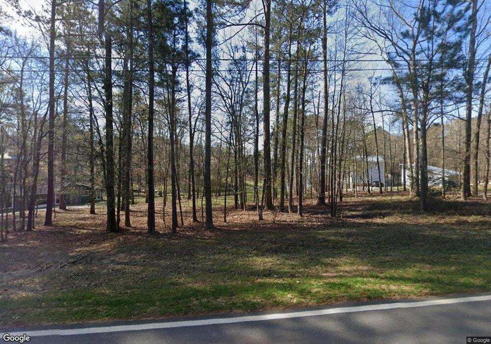
1750 Armour Bridge Rd Greensboro, GA 30642
Estimated Value: $271,927 - $735,000
--
Bed
--
Bath
--
Sq Ft
0.64
Acres
About This Home
This home is located at 1750 Armour Bridge Rd, Greensboro, GA 30642 and is currently estimated at $572,976. 1750 Armour Bridge Rd is a home with nearby schools including Greene County High School.
Ownership History
Date
Name
Owned For
Owner Type
Purchase Details
Closed on
Apr 3, 2017
Sold by
Camp David B
Bought by
Plew Patrick M and Plew Stevie L
Current Estimated Value
Home Financials for this Owner
Home Financials are based on the most recent Mortgage that was taken out on this home.
Original Mortgage
$40,620
Outstanding Balance
$20,913
Interest Rate
4.1%
Mortgage Type
Unknown
Estimated Equity
$552,063
Purchase Details
Closed on
Oct 3, 2012
Sold by
Camp David B
Bought by
Georgia Power Co
Purchase Details
Closed on
Jul 7, 2005
Sold by
Adams Grady C
Bought by
Camp David B and Camp Jody B
Purchase Details
Closed on
Apr 14, 1999
Sold by
Alford Mary Jo
Bought by
Adams Grady C and Adams Deloris M
Purchase Details
Closed on
Nov 12, 1992
Sold by
Mary Alford A and Mary Jo
Bought by
Alford Mary Jo
Purchase Details
Closed on
Jan 1, 1978
Sold by
Lake Wallace Inc
Bought by
Mary Alford A and Mary Jo
Purchase Details
Closed on
Jan 1, 1977
Bought by
Lake Wallace Inc
Create a Home Valuation Report for This Property
The Home Valuation Report is an in-depth analysis detailing your home's value as well as a comparison with similar homes in the area
Home Values in the Area
Average Home Value in this Area
Purchase History
| Date | Buyer | Sale Price | Title Company |
|---|---|---|---|
| Plew Patrick M | $100,000 | -- | |
| Georgia Power Co | -- | -- | |
| Camp David B | $160,000 | -- | |
| Adams Grady C | -- | -- | |
| Alford Mary Jo | -- | -- | |
| Mary Alford A | -- | -- | |
| Lake Wallace Inc | -- | -- |
Source: Public Records
Mortgage History
| Date | Status | Borrower | Loan Amount |
|---|---|---|---|
| Open | Plew Patrick M | $40,620 |
Source: Public Records
Tax History Compared to Growth
Tax History
| Year | Tax Paid | Tax Assessment Tax Assessment Total Assessment is a certain percentage of the fair market value that is determined by local assessors to be the total taxable value of land and additions on the property. | Land | Improvement |
|---|---|---|---|---|
| 2024 | $1,125 | $71,628 | $71,320 | $308 |
| 2023 | $1,354 | $71,640 | $71,320 | $320 |
| 2022 | $1,445 | $81,464 | $81,200 | $264 |
| 2021 | $1,220 | $63,664 | $63,400 | $264 |
| 2020 | $1,035 | $49,080 | $48,600 | $480 |
| 2019 | $1,068 | $49,080 | $48,600 | $480 |
| 2018 | $877 | $49,080 | $48,600 | $480 |
| 2017 | $1,002 | $49,095 | $48,600 | $495 |
| 2016 | $1,001 | $49,128 | $48,600 | $528 |
| 2015 | $1,057 | $53,178 | $52,650 | $528 |
| 2014 | $1,086 | $53,266 | $52,650 | $616 |
Source: Public Records
Map
Nearby Homes
- 1991 Armour Bridge Rd
- 1800 Buckhead Dr
- 1031 Hawks Bill Dr
- 1430 Buckhead Dr
- 1230 Lake Club Dr
- 1251 Lake Club Dr
- 1341 Granite Cove Dr
- 1221 Lake Club Dr
- 1010 Portage Trail
- 1050 Tailwater Unit A
- 1050 Tailwater
- 1010 Tailwater
- 1321 Swift Creek
- 1030 Tailwater
- 1611 Lighthouse Cir
- 1010 Creekside Unit A
- 1010 Creekside
- 1770 Armour Bridge Rd
- 1330 Armour Bridge Rd
- Lot F Armour Bridge Rd
- Lot G Armour Bridge Rd
- N Armour Bridge Rd
- 1730 Armour Bridge Rd
- 0 Armour Bridge Rd Unit F 7388488
- 0 Armour Bridge Rd Unit LOT G 7527261
- 0 Armour Bridge Rd Unit F 8047307
- 0 Armour Bridge Rd Unit 8688289
- 0 Armour Bridge Rd Unit 3195259
- 0 Armour Bridge Rd Unit 7044185
- 0 Armour Bridge Rd Unit 3045417
- 0 Armour Bridge Rd Unit 8321311
- 0 Armour Bridge Rd Unit 8988252
- 0 Armour Bridge Rd Unit 8946649
- 0 Armour Bridge Rd Unit 9008446
- 0 Armour Bridge Rd Unit 8750764
- 0 Armour Bridge Rd Unit 8776629
- 0 Armour Bridge Rd Unit 8329678
