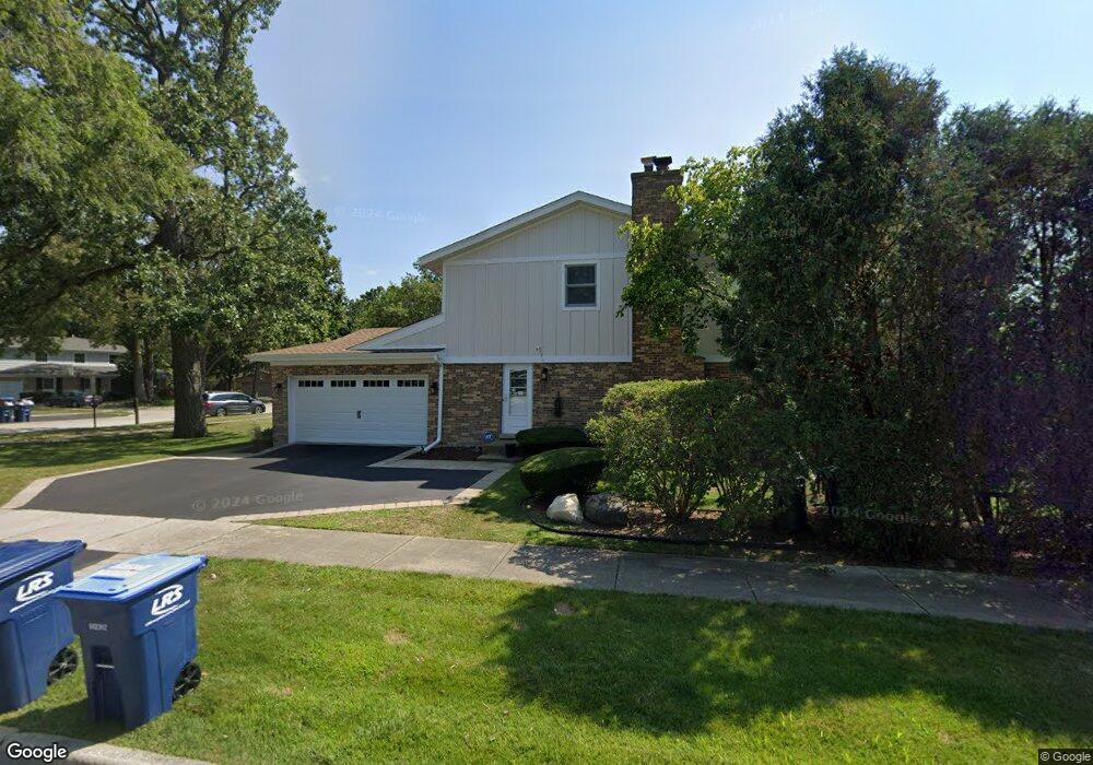
1750 E Summit Ct Deerfield, IL 60015
Estimated Value: $893,152 - $1,167,000
4
Beds
3
Baths
2,836
Sq Ft
$347/Sq Ft
Est. Value
About This Home
This home is located at 1750 E Summit Ct, Deerfield, IL 60015 and is currently estimated at $982,788, approximately $346 per square foot. 1750 E Summit Ct is a home located in Lake County with nearby schools including Walden Elementary School, Alan B Shepard Middle School, and Deerfield High School.
Ownership History
Date
Name
Owned For
Owner Type
Purchase Details
Closed on
Oct 14, 1998
Sold by
Resnick Joel and Resnick Marcia H
Bought by
Dushman Charles J and Dushman Rebecca S
Current Estimated Value
Home Financials for this Owner
Home Financials are based on the most recent Mortgage that was taken out on this home.
Original Mortgage
$344,000
Outstanding Balance
$66,611
Interest Rate
6.68%
Estimated Equity
$916,177
Create a Home Valuation Report for This Property
The Home Valuation Report is an in-depth analysis detailing your home's value as well as a comparison with similar homes in the area
Home Values in the Area
Average Home Value in this Area
Purchase History
| Date | Buyer | Sale Price | Title Company |
|---|---|---|---|
| Dushman Charles J | $430,000 | -- |
Source: Public Records
Mortgage History
| Date | Status | Borrower | Loan Amount |
|---|---|---|---|
| Open | Dushman Charles J | $344,000 | |
| Closed | Dushman Charles J | $43,000 |
Source: Public Records
Tax History
| Year | Tax Paid | Tax Assessment Tax Assessment Total Assessment is a certain percentage of the fair market value that is determined by local assessors to be the total taxable value of land and additions on the property. | Land | Improvement |
|---|---|---|---|---|
| 2024 | $19,798 | $227,604 | $57,885 | $169,719 |
| 2023 | $19,489 | $218,430 | $55,552 | $162,878 |
| 2022 | $19,489 | $211,755 | $62,054 | $149,701 |
| 2021 | $18,389 | $204,160 | $59,828 | $144,332 |
| 2020 | $19,187 | $221,459 | $59,954 | $161,505 |
| 2019 | $18,751 | $221,083 | $59,852 | $161,231 |
| 2018 | $16,825 | $207,059 | $63,438 | $143,621 |
| 2017 | $16,692 | $206,399 | $63,236 | $143,163 |
| 2016 | $16,235 | $198,594 | $60,845 | $137,749 |
| 2015 | $15,908 | $186,596 | $57,169 | $129,427 |
| 2014 | $16,052 | $185,619 | $57,578 | $128,041 |
| 2012 | $16,378 | $192,194 | $57,070 | $135,124 |
Source: Public Records
Map
Nearby Homes
- 1770 Overland Trail
- 1727 Telegraph Rd
- 1423 Northwoods Rd
- 2020 Churchill Ln
- 1420 Crowe Ave
- 1800 Telegraph Rd
- 1285 Warwick Ct
- 2045 Kipling Ct
- 1630 Ridge Rd
- 1165 Linden Ave
- 1525 Hawthorne Place
- 1380 Valley Rd
- 1300 Knollwood Rd
- 1151 Walden Ln
- 1106 Waukegan Rd
- 1725 Lilly Ct
- 1030 Chestnut St
- 1851 Cooper Ln
- 1127 Kenton Rd
- 1335 Wilmot Rd
- 1740 E Summit Ct
- 925 Summit Dr
- 900 Summit Dr
- 890 Summit Dr
- 1730 E Summit Ct
- 935 Summit Dr
- 920 Summit Dr
- 1755 E Summit Ct
- 880 Summit Dr
- 1725 Mountain Ct
- 1745 E Summit Ct
- 1725 E Summit Ct
- 1730 Mountain Ct
- 930 Summit Dr
- 945 Summit Dr
- 870 Summit Dr
- 1735 E Summit Ct
- 1715 Mountain Ct
- 860 Summit Dr
- 955 Summit Dr
Your Personal Tour Guide
Ask me questions while you tour the home.