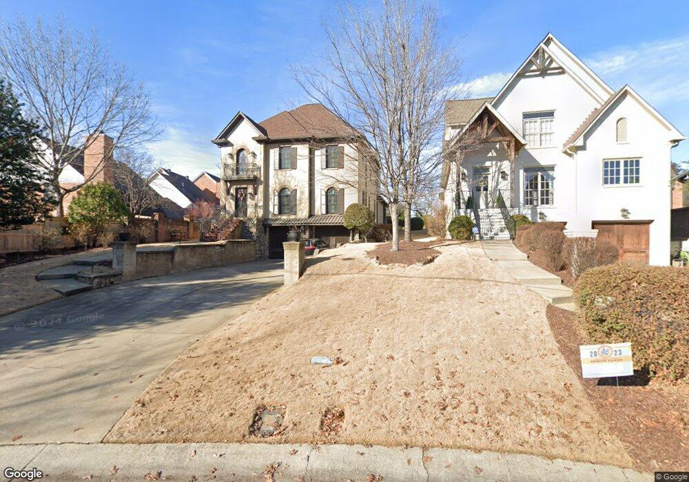
1750 Huntington Rd Birmingham, AL 35209
Estimated Value: $1,095,000 - $1,560,045
4
Beds
5
Baths
3,216
Sq Ft
$405/Sq Ft
Est. Value
About This Home
This home is located at 1750 Huntington Rd, Birmingham, AL 35209 and is currently estimated at $1,303,511, approximately $405 per square foot. 1750 Huntington Rd is a home located in Jefferson County with nearby schools including Shades Cahaba Elementary School, Homewood Middle School, and Homewood High School.
Ownership History
Date
Name
Owned For
Owner Type
Purchase Details
Closed on
Dec 14, 2007
Sold by
Byrom Building Corp
Bought by
Vaughn Audrey S and Audrey S Vaughn Revocable Trus
Current Estimated Value
Home Financials for this Owner
Home Financials are based on the most recent Mortgage that was taken out on this home.
Original Mortgage
$417,000
Outstanding Balance
$262,850
Interest Rate
6.22%
Mortgage Type
Purchase Money Mortgage
Estimated Equity
$1,040,661
Create a Home Valuation Report for This Property
The Home Valuation Report is an in-depth analysis detailing your home's value as well as a comparison with similar homes in the area
Home Values in the Area
Average Home Value in this Area
Purchase History
| Date | Buyer | Sale Price | Title Company |
|---|---|---|---|
| Vaughn Audrey S | $729,000 | None Available |
Source: Public Records
Mortgage History
| Date | Status | Borrower | Loan Amount |
|---|---|---|---|
| Open | Vaughn Audrey S | $417,000 | |
| Closed | Vaughn Audrey S | $150,100 |
Source: Public Records
Tax History Compared to Growth
Tax History
| Year | Tax Paid | Tax Assessment Tax Assessment Total Assessment is a certain percentage of the fair market value that is determined by local assessors to be the total taxable value of land and additions on the property. | Land | Improvement |
|---|---|---|---|---|
| 2024 | $9,307 | $152,820 | -- | -- |
| 2022 | $7,984 | $125,040 | $37,900 | $87,140 |
| 2021 | $8,218 | $110,510 | $37,900 | $72,610 |
| 2020 | $7,638 | $102,780 | $37,900 | $64,880 |
| 2019 | $6,192 | $91,080 | $0 | $0 |
| 2018 | $6,105 | $82,340 | $0 | $0 |
| 2017 | $5,463 | $73,780 | $0 | $0 |
| 2016 | $6,106 | $82,360 | $0 | $0 |
| 2015 | $5,605 | $75,680 | $0 | $0 |
| 2014 | $5,609 | $74,800 | $0 | $0 |
| 2013 | $5,609 | $74,800 | $0 | $0 |
Source: Public Records
Map
Nearby Homes
- 1807 Mayfair Dr
- 300 Hallman Hill Unit 206
- 200 Hallman Hill E Unit 213
- 350 Hallman Hill E Unit 105
- 1830 29th Ave S Unit 335
- 2929 Parkridge Dr
- 1618 Wellington Rd
- 1614 Wellington Rd
- 1616 Roseland Dr
- 1852 Windsor Blvd
- 2105 Lancaster Rd
- 3415 Windsor Blvd
- 2609 B M Montgomery St Unit 3 & 4
- 1735 Saulter Rd
- 3401 Sandner Ct Unit R
- 3408 Sandner Ct Unit A
- 3417 Sandner Ct Unit B
- 3441 Sandner Ct Unit D
- 1618 26th Ave S
- 1640 Ridge Rd
- 1754 Huntington Rd
- 520 Mayfair Cir
- 516 Mayfair Cir
- 512 Mayfair Cir
- 526 Mayfair Cir
- 1758 Huntington Rd
- 508 Mayfair Cir
- 3002 Roxbury Rd
- 504 Mayfair Cir
- 3100 Whitehall Rd
- 3101 Whitehall Rd
- 3000 Roxbury Rd
- 521 Mayfair Cir
- 3004 Roxbury Rd
- 500 Mayfair Cir
- 517 Mayfair Cir
- 525 Mayfair Cir
- 509 Mayfair Cir
- 305 Mayfair Cir
- 501 Mayfair Cir