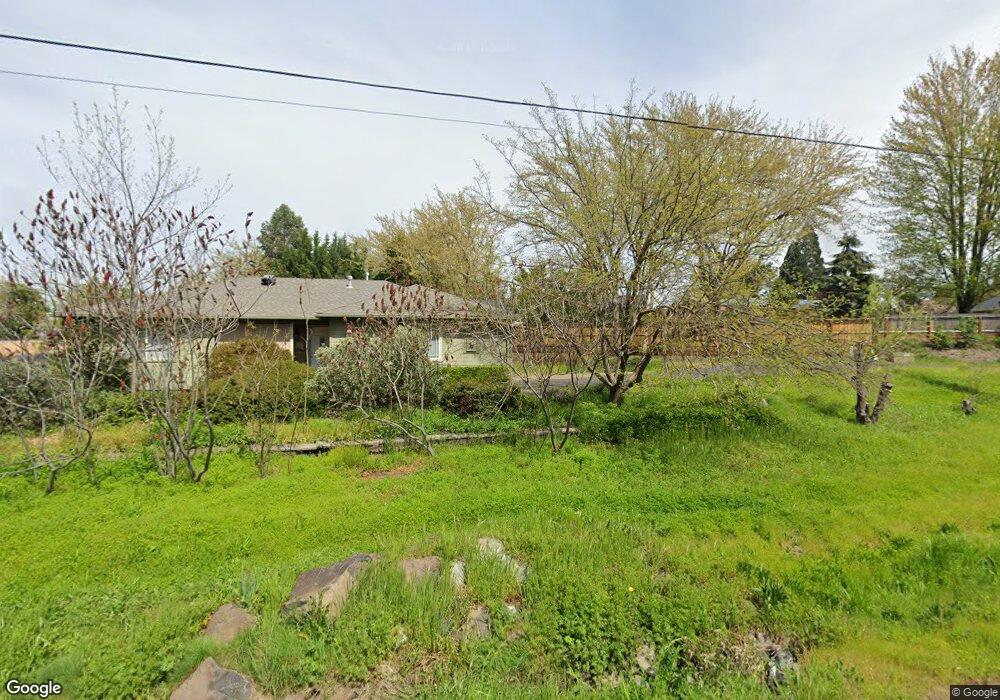
1750 N 10th St Central Point, OR 97502
Estimated Value: $529,000 - $625,614
4
Beds
3
Baths
3,148
Sq Ft
$187/Sq Ft
Est. Value
About This Home
This home is located at 1750 N 10th St, Central Point, OR 97502 and is currently estimated at $589,154, approximately $187 per square foot. 1750 N 10th St is a home located in Jackson County with nearby schools including Jewett Elementary School, Scenic Middle School, and Crater High School.
Ownership History
Date
Name
Owned For
Owner Type
Purchase Details
Closed on
Apr 3, 2002
Sold by
Heath James R and Heath Andrea P
Bought by
Warner Earl and Warner Joan
Current Estimated Value
Purchase Details
Closed on
Jul 23, 2001
Sold by
Lathrop Ernest J and Lathrop Gregory M
Bought by
Heath James R and Heath Andrea P
Home Financials for this Owner
Home Financials are based on the most recent Mortgage that was taken out on this home.
Original Mortgage
$163,000
Interest Rate
7.15%
Mortgage Type
Seller Take Back
Purchase Details
Closed on
Mar 19, 1998
Sold by
Lathrop Ernest J and Lathrop Gregory M
Bought by
Lathrop Ernest J and Lathrop Gregory M
Create a Home Valuation Report for This Property
The Home Valuation Report is an in-depth analysis detailing your home's value as well as a comparison with similar homes in the area
Home Values in the Area
Average Home Value in this Area
Purchase History
| Date | Buyer | Sale Price | Title Company |
|---|---|---|---|
| Warner Earl | $215,000 | Amerititle Inc | |
| Heath James R | $175,000 | Amerititle | |
| Lathrop Ernest J | -- | Amerititle |
Source: Public Records
Mortgage History
| Date | Status | Borrower | Loan Amount |
|---|---|---|---|
| Previous Owner | Heath James R | $163,000 |
Source: Public Records
Tax History Compared to Growth
Tax History
| Year | Tax Paid | Tax Assessment Tax Assessment Total Assessment is a certain percentage of the fair market value that is determined by local assessors to be the total taxable value of land and additions on the property. | Land | Improvement |
|---|---|---|---|---|
| 2025 | $5,699 | $342,760 | $137,720 | $205,040 |
| 2024 | $5,699 | $332,780 | $133,710 | $199,070 |
| 2023 | $5,515 | $323,090 | $129,820 | $193,270 |
| 2022 | $5,386 | $323,090 | $129,820 | $193,270 |
| 2021 | $5,233 | $313,680 | $126,050 | $187,630 |
| 2020 | $5,080 | $304,550 | $122,390 | $182,160 |
| 2019 | $4,955 | $287,070 | $115,360 | $171,710 |
| 2018 | $4,804 | $278,710 | $112,000 | $166,710 |
| 2017 | $4,683 | $278,710 | $112,000 | $166,710 |
| 2016 | $4,546 | $262,720 | $105,570 | $157,150 |
| 2015 | $4,356 | $262,720 | $105,570 | $157,150 |
| 2014 | $4,245 | $247,650 | $99,510 | $148,140 |
Source: Public Records
Map
Nearby Homes
- 920 N 10th St
- 1010 N 3rd St
- 0 Peninger Rd
- 833 Hazel St
- 741 Hazel St
- 4035 Rock Way
- 55 Crater Ln
- 405 N 9th St
- 905 Comet Ave
- 4626 N Pacific Hwy
- 431 N 5th St
- 342 Hazel St
- 356 Marian Ave Unit 40
- 327 Brookhaven Dr
- 335 Applewood Dr
- 546 Laurel St
- 845 Manzanita St
- 144 N 5th St
- 1167 Boulder Ridge St
- 426 Bridge Creek Dr
- 1231 Triangle Dr
- 1764 N 10th St
- 1225 Triangle Dr
- 1010 Lathrop Dr
- 1235 Triangle Dr
- 1762 N 10th St Unit 10916018
- 1762 N 10th St
- 1000 Lathrop Dr
- 1221 Triangle Dr
- 1020 Lathrop Dr
- 1024 Lathrop Dr
- 1241 Triangle Dr
- 1760 N 10th St
- 1215 Triangle Dr
- 1232 Triangle Dr
- 1030 Lathrop Dr
- 1224 Triangle Dr
- 1032 Iris Cir
- 1755 N 10th St
- 1247 Vista Dr