1750 N 275 W Crawfordsville, IN 47933
Estimated Value: $246,000 - $300,586
3
Beds
3
Baths
2,392
Sq Ft
$111/Sq Ft
Est. Value
About This Home
This home is located at 1750 N 275 W, Crawfordsville, IN 47933 and is currently estimated at $264,397, approximately $110 per square foot. 1750 N 275 W is a home located in Montgomery County with nearby schools including North Montgomery High School.
Ownership History
Date
Name
Owned For
Owner Type
Purchase Details
Closed on
Jul 1, 2024
Sold by
Hayes Rex B
Bought by
Groh Dalton A and Groh Angela M
Current Estimated Value
Home Financials for this Owner
Home Financials are based on the most recent Mortgage that was taken out on this home.
Original Mortgage
$317,000
Interest Rate
7.03%
Mortgage Type
Construction
Purchase Details
Closed on
Jun 27, 2024
Sold by
Hayes Rex B
Bought by
Hayes Rex B
Home Financials for this Owner
Home Financials are based on the most recent Mortgage that was taken out on this home.
Original Mortgage
$317,000
Interest Rate
7.03%
Mortgage Type
Construction
Purchase Details
Closed on
May 5, 2017
Sold by
Fruits Family Farm Llc
Bought by
Hayes Rex B
Home Financials for this Owner
Home Financials are based on the most recent Mortgage that was taken out on this home.
Original Mortgage
$75,000
Interest Rate
4.1%
Mortgage Type
New Conventional
Purchase Details
Closed on
Aug 9, 2013
Sold by
Fruits Jeffrey Lee and Fruits Donald Lee
Bought by
Fruits Family Farm Llc
Create a Home Valuation Report for This Property
The Home Valuation Report is an in-depth analysis detailing your home's value as well as a comparison with similar homes in the area
Home Values in the Area
Average Home Value in this Area
Purchase History
| Date | Buyer | Sale Price | Title Company |
|---|---|---|---|
| Groh Dalton A | $290,000 | None Listed On Document | |
| Hayes Rex B | $290,000 | None Listed On Document | |
| Hayes Rex B | -- | None Available | |
| Fruits Family Farm Llc | -- | None Available |
Source: Public Records
Mortgage History
| Date | Status | Borrower | Loan Amount |
|---|---|---|---|
| Closed | Groh Dalton A | $317,000 | |
| Previous Owner | Hayes Rex B | $75,000 |
Source: Public Records
Tax History Compared to Growth
Tax History
| Year | Tax Paid | Tax Assessment Tax Assessment Total Assessment is a certain percentage of the fair market value that is determined by local assessors to be the total taxable value of land and additions on the property. | Land | Improvement |
|---|---|---|---|---|
| 2024 | $812 | $175,300 | $47,200 | $128,100 |
| 2023 | $808 | $163,600 | $28,500 | $135,100 |
| 2022 | $860 | $156,200 | $28,500 | $127,700 |
| 2021 | $697 | $132,400 | $28,500 | $103,900 |
| 2020 | $629 | $128,200 | $28,500 | $99,700 |
| 2019 | $620 | $124,900 | $28,500 | $96,400 |
| 2018 | $522 | $117,700 | $26,600 | $91,100 |
| 2017 | $525 | $116,200 | $26,600 | $89,600 |
| 2016 | $1,619 | $111,400 | $26,600 | $84,800 |
| 2014 | $1,486 | $107,500 | $26,600 | $80,900 |
| 2013 | $1,486 | $104,300 | $26,600 | $77,700 |
Source: Public Records
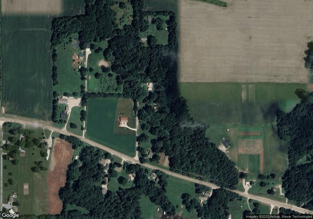
Map
Nearby Homes
- 2430 W US Highway 136
- 1796 N 400 W
- 1958 W Twin Oaks Ct
- 1623 W Stoneybrook Ln
- 1642 W Forest Rd
- 610 N Forest Rd
- 00 N 275 W
- 4800 N 275 W
- 1153 N Oak Hill Ln
- 21 Park Forest Ln
- 00 N 100 W
- 1587 Delegates Row
- 1531 W James Dr
- 0 Constitution Row
- 01 Constitution Row
- 00 Constitution Row
- 409 California St
- 30 Hickory Ln S
- 650 S Eagles Way
- 4297 W Division Rd
- 1780 N 275 W
- 1643 N 275 W
- 1828 N 275 W
- 2744 W Us Highway 136
- 1854 N 275 W
- 2717 U S Highway 136 W
- 2771 W U S Highway 136
- 2735 U S Highway 136 W
- 2793 W Us Highway 136
- 2735 W Us Highway 136
- 2757 W Us Highway 136
- 2886 W Us Highway 136
- 2886 W Us Highway 136
- 1921 N 275 W
- 2831 W Us Highway 136
- 2689 W Us Highway 136
- 2717 Us Highway 136
- 2689 U S Highway 136 W
- 2907 W Us Highway 136
- 2685 W Us Highway 136