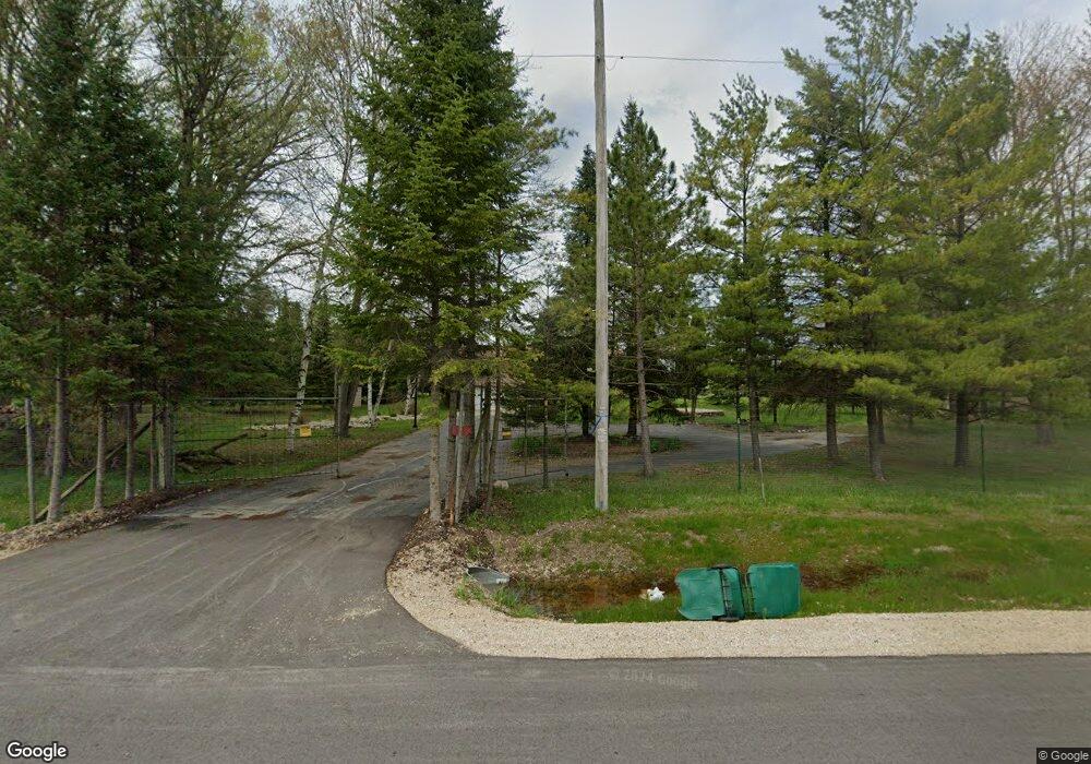
1750 Newark Dr E West Bend, WI 53090
Estimated Value: $439,000 - $484,000
--
Bed
--
Bath
--
Sq Ft
5
Acres
About This Home
This home is located at 1750 Newark Dr E, West Bend, WI 53090 and is currently estimated at $468,690. 1750 Newark Dr E is a home located in Washington County with nearby schools including Kewaskum High School.
Ownership History
Date
Name
Owned For
Owner Type
Purchase Details
Closed on
Feb 5, 2009
Sold by
Abunzel Llc
Bought by
Bunzel Lawrence J and Bunzel Mary V
Current Estimated Value
Home Financials for this Owner
Home Financials are based on the most recent Mortgage that was taken out on this home.
Original Mortgage
$177,000
Interest Rate
5.11%
Mortgage Type
New Conventional
Purchase Details
Closed on
Dec 23, 2008
Sold by
Mayer James A and Meyer Jodi
Bought by
Abunzel Llc
Home Financials for this Owner
Home Financials are based on the most recent Mortgage that was taken out on this home.
Original Mortgage
$177,000
Interest Rate
5.11%
Mortgage Type
New Conventional
Create a Home Valuation Report for This Property
The Home Valuation Report is an in-depth analysis detailing your home's value as well as a comparison with similar homes in the area
Home Values in the Area
Average Home Value in this Area
Purchase History
| Date | Buyer | Sale Price | Title Company |
|---|---|---|---|
| Bunzel Lawrence J | -- | None Available | |
| Abunzel Llc | -- | None Available |
Source: Public Records
Mortgage History
| Date | Status | Borrower | Loan Amount |
|---|---|---|---|
| Previous Owner | Bunzel Lawrence J | $177,000 |
Source: Public Records
Tax History Compared to Growth
Tax History
| Year | Tax Paid | Tax Assessment Tax Assessment Total Assessment is a certain percentage of the fair market value that is determined by local assessors to be the total taxable value of land and additions on the property. | Land | Improvement |
|---|---|---|---|---|
| 2024 | $3,065 | $250,400 | $90,000 | $160,400 |
| 2023 | $3,076 | $250,400 | $90,000 | $160,400 |
| 2022 | $2,835 | $250,400 | $90,000 | $160,400 |
| 2021 | $2,992 | $250,400 | $90,000 | $160,400 |
| 2020 | $2,982 | $250,400 | $90,000 | $160,400 |
| 2019 | $2,938 | $250,400 | $90,000 | $160,400 |
| 2018 | $2,820 | $250,400 | $90,000 | $160,400 |
| 2017 | $2,834 | $250,400 | $90,000 | $160,400 |
| 2016 | $2,765 | $250,400 | $90,000 | $160,400 |
| 2015 | $2,805 | $250,400 | $90,000 | $160,400 |
| 2014 | $2,805 | $250,400 | $90,000 | $160,400 |
| 2013 | $3,140 | $250,400 | $90,000 | $160,400 |
Source: Public Records
Map
Nearby Homes
- 2171 Wallace Lake Rd
- Lt4 Wallace Lake Rd
- 2008 Davids View
- 2016 Davids View
- 1324 W Green Lake Dr
- 1650 Vivian Ct
- 1606 Vivian Ct
- 7071 N Trenton Rd
- Lt0 Lakeview Rd
- 2161 Wallace Lake Rd
- 2181 Wallace Lake Rd
- 6819 Eastwood Trail
- 1266 E Green Lake Dr
- 7855 Indian Lore Rd
- 6905 Jamestown Ct
- 1953 Birch Terrace
- 1072 Harbor Ct
- LT4 River Rd
- 2462 Wallace Lake Rd
- Lt2 N River Rd
- 1796 Newark Dr E
- 1858 Newark Dr E
- 1855 Newark Dr E
- 1862 Newark Dr E
- 1865 Newark Dr E
- 1866 Newark Dr E
- 1863 Newark Dr E
- 1880 Newark Dr E
- 7468 S Indian Lore Rd
- 1867 Newark Dr E
- 1892 Newark Drive East Dr E
- 1892 Newark Dr E
- 1895 Newark Dr E
- 7955 Indian Lore Rd
- 7476 S Indian Lore Rd
- 7200 S Indian Lore Rd
- 7510 S Indian Lore Rd
- 7130 Barber Cir
- 7160 S Indian Lore Rd
- 7135 Barber Cir