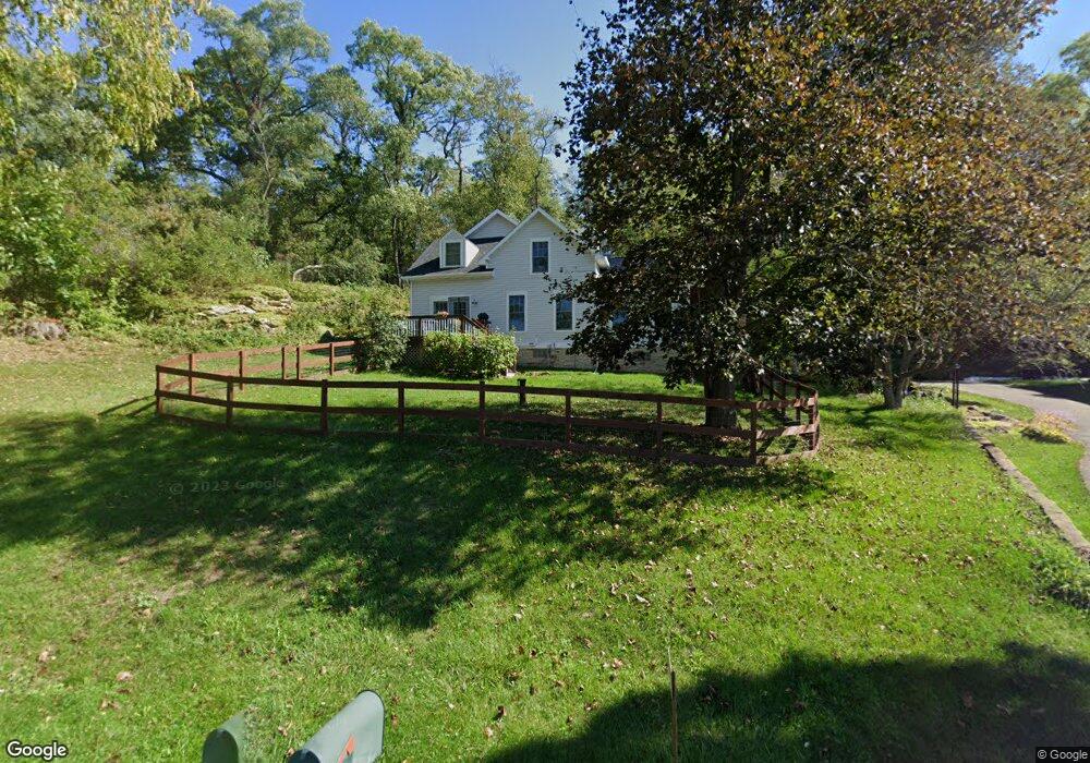
1750 Range Trail Verona, WI 53593
Estimated Value: $394,000 - $595,459
2
Beds
1
Bath
1,165
Sq Ft
$429/Sq Ft
Est. Value
About This Home
This home is located at 1750 Range Trail, Verona, WI 53593 and is currently estimated at $499,615, approximately $428 per square foot. 1750 Range Trail is a home located in Dane County with nearby schools including Country View Elementary School, Savanna Oaks Middle School, and Verona Area High School.
Ownership History
Date
Name
Owned For
Owner Type
Purchase Details
Closed on
Jul 31, 2009
Sold by
Weinert Gary and Weinert Sandra
Bought by
Johnson Charles G and Johnson Elizabeth T
Current Estimated Value
Home Financials for this Owner
Home Financials are based on the most recent Mortgage that was taken out on this home.
Original Mortgage
$176,000
Outstanding Balance
$113,554
Interest Rate
5.49%
Mortgage Type
Purchase Money Mortgage
Estimated Equity
$386,061
Create a Home Valuation Report for This Property
The Home Valuation Report is an in-depth analysis detailing your home's value as well as a comparison with similar homes in the area
Home Values in the Area
Average Home Value in this Area
Purchase History
| Date | Buyer | Sale Price | Title Company |
|---|---|---|---|
| Johnson Charles G | $220,000 | None Available |
Source: Public Records
Mortgage History
| Date | Status | Borrower | Loan Amount |
|---|---|---|---|
| Open | Johnson Charles G | $176,000 |
Source: Public Records
Tax History
| Year | Tax Paid | Tax Assessment Tax Assessment Total Assessment is a certain percentage of the fair market value that is determined by local assessors to be the total taxable value of land and additions on the property. | Land | Improvement |
|---|---|---|---|---|
| 2025 | $8,162 | $380,500 | $178,000 | $202,500 |
| 2024 | $7,330 | $380,500 | $178,000 | $202,500 |
| 2023 | $6,551 | $380,500 | $178,000 | $202,500 |
| 2022 | $6,269 | $380,500 | $178,000 | $202,500 |
| 2021 | $6,691 | $380,500 | $178,000 | $202,500 |
| 2020 | $6,740 | $380,500 | $178,000 | $202,500 |
| 2019 | $6,751 | $380,500 | $178,000 | $202,500 |
| 2018 | $5,361 | $270,300 | $127,900 | $142,400 |
| 2017 | $5,286 | $270,300 | $127,900 | $142,400 |
| 2016 | $4,959 | $270,300 | $127,900 | $142,400 |
| 2015 | $4,915 | $270,300 | $127,900 | $142,400 |
| 2014 | $4,815 | $257,000 | $127,900 | $129,100 |
| 2013 | $4,550 | $262,500 | $127,900 | $134,600 |
Source: Public Records
Map
Nearby Homes
- 1741 Black Cherry Ct
- 6814 Horseshoe Bend
- 0 Riverside Rd Unit 2005389
- 1359 Winchester Pass
- 1249 Wild Willow Way
- 1208 Merry Blossom Ln
- 1083 Siena Dr
- 1299 County Road Pb
- 102 Prairie Heights Dr Unit 406
- 410 New Age Cir Unit 214
- 410 New Age Cir Unit 304
- 27.72 Ac Valley Rd and Hwy 69 Acres
- 6435 County Road M
- 571 S Hillcrest Dr
- 6500 Shady Bend Rd
- 533 Military Ridge Dr
- 543 Goldenrod Cir
- 532 Goldenrod Cir
- 534 Goldenrod Cir
- 521 Military Ridge Dr
- 6871 Sunset Dr
- 10 acre lot Range Trail
- 1720 Range Trail
- 1711 Black Cherry Ct
- 6860 Sunset Dr
- Lot 4 Black Cherry Ct
- 1694 Range Trail
- 1672 Range Trail
- 6803 Sunset Dr
- 6803 Sunset Dr
- 6803 Sunset Dr
- 1710 Black Cherry Ct
- L2 Black Cherry Ct
- 1685 Black Cherry Ct
- Lot 1 Range Tr
- 1849 Range Trail
- 1885 Range Trail
- 6770 Sunset Dr
- 1841 Range Trail
- 1633 Range Trail
Your Personal Tour Guide
Ask me questions while you tour the home.