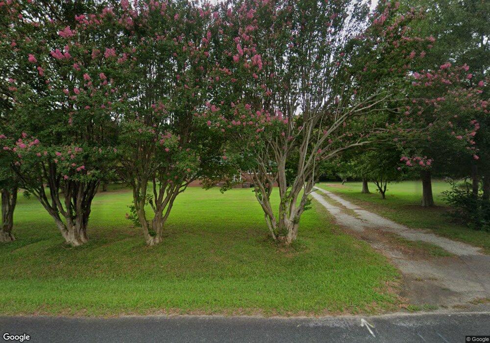
1750 Rocky Ridge Rd Enoree, SC 29335
Estimated Value: $171,413 - $321,000
2
Beds
1
Bath
1,247
Sq Ft
$181/Sq Ft
Est. Value
About This Home
This home is located at 1750 Rocky Ridge Rd, Enoree, SC 29335 and is currently estimated at $225,603, approximately $180 per square foot. 1750 Rocky Ridge Rd is a home located in Spartanburg County with nearby schools including Woodruff Primary School, Woodruff Elementary School, and Woodruff Middle School.
Ownership History
Date
Name
Owned For
Owner Type
Purchase Details
Closed on
Jun 2, 2020
Sold by
Pitman Sandra
Bought by
Simmons Michael Shane and Simmons Christopher Roy
Current Estimated Value
Purchase Details
Closed on
Sep 14, 2016
Sold by
Watson Dennie and Burch Sharon
Bought by
Pitman Sandra
Purchase Details
Closed on
Sep 29, 2007
Sold by
Watson Ruth C
Bought by
Watson Dennie and Pitman Sandra
Purchase Details
Closed on
Aug 1, 2003
Sold by
Watson Donald M
Bought by
Watson Ruth C
Create a Home Valuation Report for This Property
The Home Valuation Report is an in-depth analysis detailing your home's value as well as a comparison with similar homes in the area
Home Values in the Area
Average Home Value in this Area
Purchase History
| Date | Buyer | Sale Price | Title Company |
|---|---|---|---|
| Simmons Michael Shane | -- | None Available | |
| Pitman Sandra | $45,000 | Attorney | |
| Watson Dennie | -- | None Available | |
| Watson Ruth C | -- | -- |
Source: Public Records
Tax History Compared to Growth
Tax History
| Year | Tax Paid | Tax Assessment Tax Assessment Total Assessment is a certain percentage of the fair market value that is determined by local assessors to be the total taxable value of land and additions on the property. | Land | Improvement |
|---|---|---|---|---|
| 2025 | $353 | $3,868 | $505 | $3,363 |
| 2024 | $353 | $3,868 | $505 | $3,363 |
| 2023 | $353 | $3,868 | $505 | $3,363 |
| 2022 | $244 | $3,364 | $504 | $2,860 |
| 2021 | $244 | $3,364 | $504 | $2,860 |
| 2020 | $220 | $3,364 | $504 | $2,860 |
| 2019 | $223 | $3,364 | $504 | $2,860 |
| 2018 | $223 | $3,364 | $504 | $2,860 |
| 2017 | $163 | $2,964 | $500 | $2,464 |
| 2016 | $108 | $2,460 | $415 | $2,045 |
| 2015 | $1,280 | $3,689 | $622 | $3,067 |
| 2014 | $322 | $2,460 | $415 | $2,045 |
Source: Public Records
Map
Nearby Homes
- 00 Frontier Rd
- 491 Adhurst Dr
- 491 Adhurst Dr Unit AA 60 Inlet B
- 717 Adhurst Dr
- 495 Adhurst Dr Unit AA 61 Davenport C
- 709 Adhurst Dr
- 495 Adhurst Dr
- Davenport Plan at Arrowood Acres
- VAIL Plan at Arrowood Acres
- TIMBERWOOD Plan at Arrowood Acres
- KENNEDY Plan at Arrowood Acres
- Dawson Plan at Arrowood Acres
- Forsyth Plan at Arrowood Acres
- WELLINGTON Plan at Arrowood Acres
- Inlet Plan at Arrowood Acres
- 709 Hadley Place Unit AA 64 Dawson A
- 709 Hadley Place
- 717 Hadley Place
- 717 Hadley Place Unit AA 66 Forsyth E
- 00 Mount Shoals Rd
- 1760 Rocky Ridge Rd
- 1740 Rocky Ridge Rd
- 1797 Rocky Ridge Rd
- 1720 Rocky Ridge Rd
- 1731 Rocky Ridge Rd
- 1820 Rocky Ridge Rd
- 1680 Rocky Ridge Rd
- 1671 Rocky Ridge Rd
- 1830 Rocky Ridge Rd
- 1670 Rocky Ridge Rd
- 1841 Rocky Ridge Rd
- 1571 Rocky Ridge Rd
- 160 Bill Roberson Rd
- 1851 Rocky Ridge Rd
- 1550 Rocky Ridge Rd
- 1861 Rocky Ridge Rd
- 190 Burgess Rd
- 1490 Rocky Ridge Rd
- 1881 Rocky Ridge Rd
- 1470 Rocky Ridge Rd