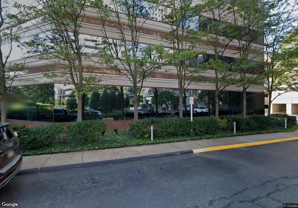
1750 Tysons Blvd McLean, VA 22102
Tysons Corner Neighborhood
--
Bed
--
Bath
429,381
Sq Ft
5.02
Acres
About This Home
This home is located at 1750 Tysons Blvd, McLean, VA 22102. 1750 Tysons Blvd is a home located in Fairfax County with nearby schools including Westbriar Elementary School, Kilmer Middle School, and Marshall High School.
Ownership History
Date
Name
Owned For
Owner Type
Purchase Details
Closed on
Dec 16, 1997
Sold by
Tysons Ii Land Co Llc
Bought by
Mdm Development Co Llc
Home Financials for this Owner
Home Financials are based on the most recent Mortgage that was taken out on this home.
Original Mortgage
$66,700,000
Outstanding Balance
$11,194,751
Interest Rate
7.14%
Mortgage Type
Commercial
Create a Home Valuation Report for This Property
The Home Valuation Report is an in-depth analysis detailing your home's value as well as a comparison with similar homes in the area
Home Values in the Area
Average Home Value in this Area
Purchase History
| Date | Buyer | Sale Price | Title Company |
|---|---|---|---|
| Mdm Development Co Llc | -- | -- |
Source: Public Records
Mortgage History
| Date | Status | Borrower | Loan Amount |
|---|---|---|---|
| Open | Mdm Development Co Llc | $66,700,000 |
Source: Public Records
Tax History Compared to Growth
Tax History
| Year | Tax Paid | Tax Assessment Tax Assessment Total Assessment is a certain percentage of the fair market value that is determined by local assessors to be the total taxable value of land and additions on the property. | Land | Improvement |
|---|---|---|---|---|
| 2025 | $1,582,915 | $79,521,620 | $14,753,040 | $64,768,580 |
| 2024 | $1,582,915 | $111,198,800 | $17,470,710 | $93,728,090 |
| 2023 | $1,881,126 | $134,992,920 | $18,635,420 | $116,357,500 |
| 2022 | $2,033,786 | $144,393,730 | $21,353,090 | $123,040,640 |
| 2021 | $2,117,442 | $147,197,900 | $21,353,090 | $125,844,810 |
| 2020 | $2,308,039 | $159,339,910 | $25,235,470 | $134,104,440 |
| 2019 | $2,285,372 | $155,626,280 | $25,235,470 | $130,390,810 |
| 2018 | $1,777,589 | $154,572,930 | $25,235,470 | $129,337,460 |
| 2017 | $2,161,026 | $145,425,680 | $25,235,470 | $120,190,210 |
| 2016 | $2,075,287 | $138,030,380 | $25,235,470 | $112,794,910 |
| 2015 | $1,848,245 | $124,797,070 | $25,235,470 | $99,561,600 |
| 2014 | $2,087,746 | $140,258,350 | $27,176,660 | $113,081,690 |
Source: Public Records
Map
Nearby Homes
- 1650 Silver Hill Dr Unit 1206
- 1650 Silver Hill Dr Unit 1202
- 1650 Silver Hill Dr Unit 1607
- 1650 Silver Hill Dr Unit 1205
- 1650 Silver Hill Dr Unit 1403
- 1650 Silver Hill Dr Unit 1002
- 1650 Silver Hill Dr Unit 2201
- 1650 Silver Hill Dr Unit 1502
- 1650 Silver Hill Dr Unit 1901
- 1650 Silver Hill Dr Unit 1007
- 1650 Silver Hill Dr Unit 1709
- 1727 Cy Ct
- Lot 5 Knolewood
- LOT 1 Elsiragy Ct
- 1815 Dawson St
- 1724 Cy Ct
- 1645 International Dr Unit 125
- 8340 Greensboro Dr Unit 302
- 8340 Greensboro Dr Unit 1014
- 8340 Greensboro Dr Unit 401
- 8342 Leesburg Pike
- 8350 Leesburg Pike
- 8304 Leesburg Pike
- 1747 Tysons Central St
- 1747 Tysons Central St Unit 1113
- 8301 Leesburg Pike
- 8285 Greensboro Dr
- 8332 Leesburg Pike
- 8328 Leesburg Pike
- 8283 Greensboro Dr
- 8320 Leesburg Pike
- 2000 Chain Bridge Rd
- 8334 Leesburg Pike
- 1670 Silver Hill Dr
- 8281 Greensboro Dr
- 1744 Pinnacle Dr
- 8361 Leesburg Pike
- 8365 Leesburg Pike
- 8251 Greensboro Dr
- 8350 Broad St