--
Bed
--
Bath
13,684
Sq Ft
44.8
Acres
About This Home
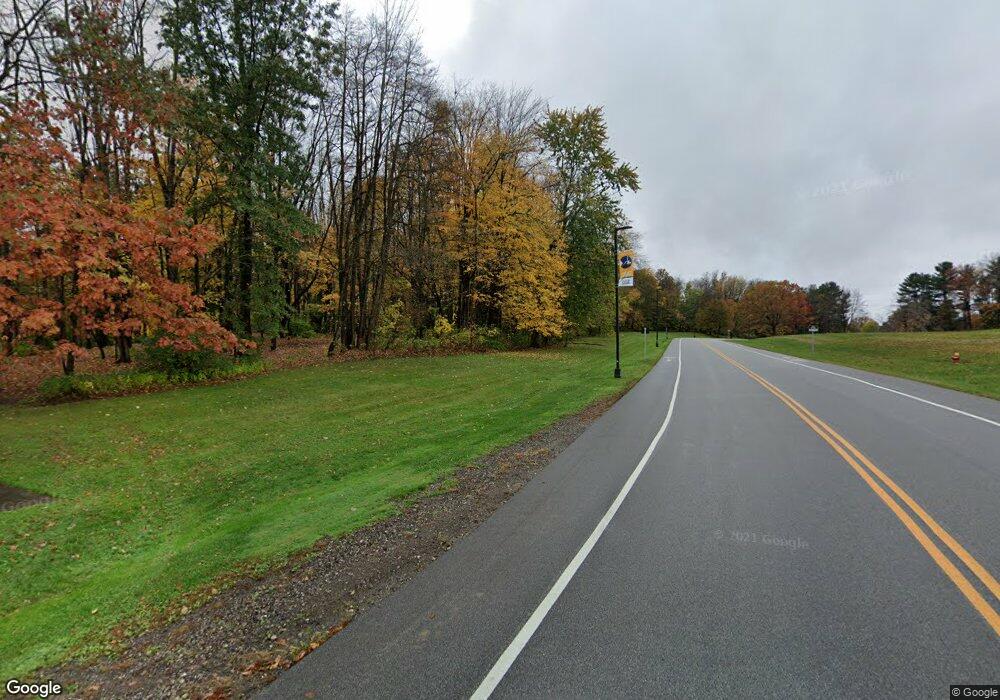
This home is located at 1750 W Campus Center Dr, Kent, OH 44240. 1750 W Campus Center Dr is a home located in Portage County with nearby schools including Brimfield Elementary School, Field Middle School, and Field High School.
Ownership History
Date
Name
Owned For
Owner Type
Purchase Details
Closed on
Sep 27, 2021
Sold by
Board Of Trustees Of Kent State Universi
Bought by
Legacy Development Group Llc
Purchase Details
Closed on
Mar 1, 2021
Sold by
Board Of Trustees Of Kent State Univ
Bought by
Board Of Trustees Of Kent State Univ
Purchase Details
Closed on
Sep 14, 2007
Sold by
The Kent State University Board Of Trust
Bought by
Board Of Portage Cnty Hospital Trustees and Board Of Portage County Commissioners
Purchase Details
Closed on
Jan 1, 1990
Bought by
Kent State University
Create a Home Valuation Report for This Property
The Home Valuation Report is an in-depth analysis detailing your home's value as well as a comparison with similar homes in the area
Home Values in the Area
Average Home Value in this Area
Purchase History
| Date | Buyer | Sale Price | Title Company |
|---|---|---|---|
| Legacy Development Group Llc | $125,000 | Diamond Title | |
| Board Of Trustees Of Kent State Univ | -- | None Available | |
| Board Of Trustees Of Kent State Univ | -- | None Available | |
| Board Of Portage Cnty Hospital Trustees | -- | Approved Statewide Title | |
| Kent State University | -- | -- |
Source: Public Records
Tax History Compared to Growth
Tax History
| Year | Tax Paid | Tax Assessment Tax Assessment Total Assessment is a certain percentage of the fair market value that is determined by local assessors to be the total taxable value of land and additions on the property. | Land | Improvement |
|---|---|---|---|---|
| 2024 | $8,496 | $175,700 | $175,700 | -- |
| 2023 | $9,140 | $158,130 | $158,130 | $0 |
| 2022 | $0 | $158,130 | $158,130 | $0 |
| 2021 | $0 | $678,650 | $379,330 | $299,320 |
| 2020 | $0 | $678,650 | $379,330 | $299,320 |
| 2019 | $0 | $678,650 | $379,330 | $299,320 |
| 2018 | $0 | $706,650 | $379,330 | $327,320 |
| 2017 | $0 | $706,650 | $379,330 | $327,320 |
| 2016 | $0 | $706,650 | $379,330 | $327,320 |
| 2015 | -- | $706,650 | $379,330 | $327,320 |
| 2014 | -- | $706,650 | $379,330 | $327,320 |
| 2013 | -- | $706,650 | $379,330 | $327,320 |
Source: Public Records
Map
Nearby Homes
- 0 Meloy Rd Unit 5162435
- 720 Ivan Dr
- 1224 Cedar Ridge Rd
- 1236 Cedar Ridge Rd
- 1587 Chadwick Rd
- 1625 S Lincoln St
- Poplar Plan at Woodland Reserve
- Nassau Cove Plan at Woodland Reserve
- V/L Sherman Rd
- 703 Avondale St
- 708 Berkeley St
- 1426 Loop Rd Unit 1426
- 540 E School St
- 561 E School St
- 238 Valleyview Dr
- 218 E School St
- 1523 Whitehall Blvd
- 1024E Cedar Ridge Dr
- 1024A Cedar Ridge Dr
- 4837 King Meadow Trail
- V/L Campus Center Dr
- 1335 Meloy Rd
- 1295 Meloy Rd
- 1353 Meloy Rd
- 0 Meloy Rd Unit 3750077
- 0 Meloy Rd Unit 4187628
- 736 Beryl Dr
- 1257 Meloy Rd
- 1635 Chadwick Rd
- 730 Beryl Dr
- 722 Beryl Dr
- 716 Beryl Dr
- 1633 Chadwick Rd
- 1639 Morris Rd
- 710 Beryl Dr
- 1395 Meloy Rd
- 1631 Chadwick Rd
- 729 Beryl Dr
- 1646 Morris Rd
- 702 Beryl Dr
