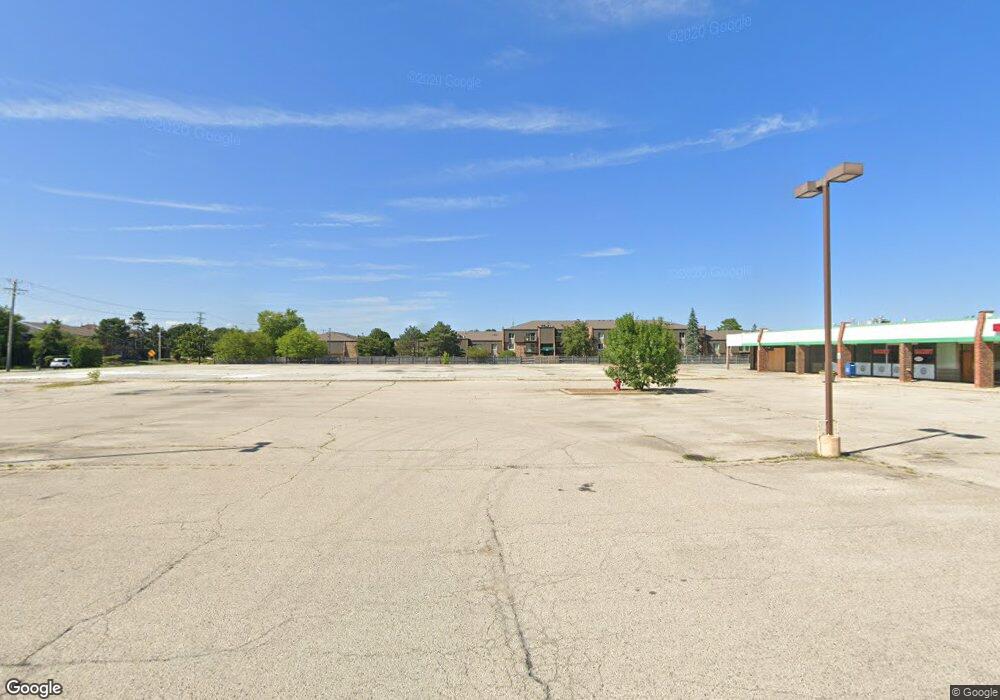
1750 W Hintz Rd Wheeling, IL 60090
Estimated Value: $178,800
--
Bed
--
Bath
13,276
Sq Ft
$13/Sq Ft
Est. Value
About This Home
This home is located at 1750 W Hintz Rd, Wheeling, IL 60090 and is currently estimated at $178,800, approximately $13 per square foot. 1750 W Hintz Rd is a home located in Cook County with nearby schools including Booth Tarkington Elementary School, Jack London Middle School, and Wheeling High School.
Ownership History
Date
Name
Owned For
Owner Type
Purchase Details
Closed on
May 4, 2023
Sold by
Mor Adi
Bought by
Lennys Gas N Wash Hintz Road and Old Buffalo Grove Road Llc
Current Estimated Value
Purchase Details
Closed on
May 18, 1995
Sold by
Cole Taylor Bank
Bought by
Hintz Inc
Home Financials for this Owner
Home Financials are based on the most recent Mortgage that was taken out on this home.
Original Mortgage
$1,400,000
Interest Rate
8.4%
Mortgage Type
Commercial
Create a Home Valuation Report for This Property
The Home Valuation Report is an in-depth analysis detailing your home's value as well as a comparison with similar homes in the area
Home Values in the Area
Average Home Value in this Area
Purchase History
| Date | Buyer | Sale Price | Title Company |
|---|---|---|---|
| Lennys Gas N Wash Hintz Road | $150,000 | Chicago Title | |
| Hintz Inc | $1,400,000 | -- |
Source: Public Records
Mortgage History
| Date | Status | Borrower | Loan Amount |
|---|---|---|---|
| Previous Owner | Hintz Inc | $1,400,000 |
Source: Public Records
Tax History Compared to Growth
Tax History
| Year | Tax Paid | Tax Assessment Tax Assessment Total Assessment is a certain percentage of the fair market value that is determined by local assessors to be the total taxable value of land and additions on the property. | Land | Improvement |
|---|---|---|---|---|
| 2024 | $12,568 | $148,864 | $130,798 | $18,066 |
| 2023 | $269,093 | $37,501 | $25,687 | $11,814 |
| 2022 | $269,093 | $841,923 | $611,584 | $230,339 |
| 2021 | $236,750 | $638,996 | $611,583 | $27,413 |
| 2020 | $230,588 | $638,996 | $611,583 | $27,413 |
| 2019 | $80,852 | $246,748 | $234,440 | $12,308 |
| 2018 | $87,858 | $240,747 | $234,440 | $6,307 |
| 2017 | $88,744 | $248,230 | $234,440 | $13,790 |
| 2016 | $79,239 | $237,500 | $235,255 | $2,245 |
| 2015 | $138,403 | $388,418 | $265,019 | $123,399 |
| 2014 | $143,452 | $412,711 | $265,019 | $147,692 |
| 2013 | $200,941 | $626,147 | $265,019 | $361,128 |
Source: Public Records
Map
Nearby Homes
- 2616 N Prindle Ave
- 2608 N Wilshire Ln
- 671 Cedarwood Ct Unit 2
- 791 Lakeside Circle Dr Unit 1
- 705 Lakeside Circle Dr Unit 2
- 2632 N Windsor Dr Unit 104
- 691 Lakeside Circle Dr
- 1925 E Waverly Ln
- 2640 N Windsor Dr Unit 102
- 528 Surf Ct
- 1038 Harbour Ct Unit 2A
- 2604 N Windsor Dr Unit 206
- 1054 Harbour Ct Unit 1A
- 2143 E Peachtree Ln
- 2620 N Windsor Dr Unit 201
- 413 Buffalo Trail Unit 10601
- 1500 Harbour Dr Unit 1D
- 1500 Harbour Dr Unit 2K
- 1306 E Best Dr
- 2812 Jackson Dr
- 1786 W Hintz Rd
- 1914 E Canterbury Dr
- 1924 E Canterbury Dr
- 1904 E Canterbury Dr
- 1934 E Canterbury Dr
- 1826 E Canterbury Dr
- 1818 E Canterbury Dr
- 1806 E Canterbury Dr
- 2002 E Canterbury Dr
- 1724 E Canterbury Dr
- 2010 E Canterbury Dr
- 1919 E Canterbury Dr
- 2649 N Forrest Ln
- 2648 N Prindle Ave
- 1714 E Canterbury Dr
- 2020 E Canterbury Dr
- 1647 Woodduck Ln
- 2650 N Forrest Ln
- 999 Buffalo Grove Rd
- 1704 E Canterbury Dr