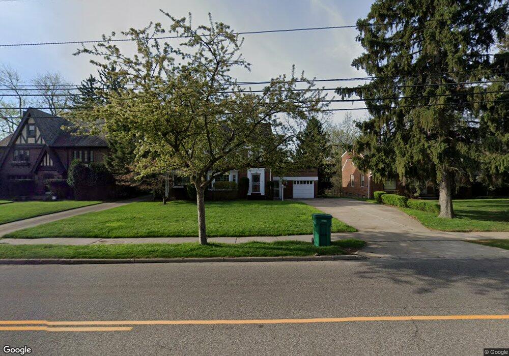
17500 Libby Rd Maple Heights, OH 44137
Estimated Value: $159,453 - $176,000
4
Beds
1
Bath
1,874
Sq Ft
$90/Sq Ft
Est. Value
About This Home
This home is located at 17500 Libby Rd, Maple Heights, OH 44137 and is currently estimated at $168,363, approximately $89 per square foot. 17500 Libby Rd is a home located in Cuyahoga County with nearby schools including Abraham Lincoln Elementary School, Rockside/ J.F. Kennedy School, and Barack Obama School.
Ownership History
Date
Name
Owned For
Owner Type
Purchase Details
Closed on
Feb 11, 2022
Bought by
Baker-Jonel Diane
Current Estimated Value
Purchase Details
Closed on
Oct 13, 1999
Sold by
Wynn Gwendolyn
Bought by
Jon El Diane Baker
Home Financials for this Owner
Home Financials are based on the most recent Mortgage that was taken out on this home.
Original Mortgage
$129,908
Interest Rate
7.9%
Mortgage Type
FHA
Purchase Details
Closed on
Apr 14, 1983
Sold by
Wynn Jacque L and Wynn Gwendolyn
Bought by
Wynn Jacque L
Purchase Details
Closed on
Jan 1, 1975
Bought by
Wynn Jacque L and Wynn Gwendolyn
Create a Home Valuation Report for This Property
The Home Valuation Report is an in-depth analysis detailing your home's value as well as a comparison with similar homes in the area
Home Values in the Area
Average Home Value in this Area
Purchase History
| Date | Buyer | Sale Price | Title Company |
|---|---|---|---|
| Baker-Jonel Diane | -- | -- | |
| Jon El Diane Baker | $134,500 | Executive Title Agency Corp | |
| Wynn Jacque L | -- | -- | |
| Wynn Jacque L | -- | -- |
Source: Public Records
Mortgage History
| Date | Status | Borrower | Loan Amount |
|---|---|---|---|
| Previous Owner | Jon El Diane Baker | $129,908 |
Source: Public Records
Tax History
| Year | Tax Paid | Tax Assessment Tax Assessment Total Assessment is a certain percentage of the fair market value that is determined by local assessors to be the total taxable value of land and additions on the property. | Land | Improvement |
|---|---|---|---|---|
| 2024 | $3,875 | $53,585 | $9,835 | $43,750 |
| 2023 | $1,948 | $25,410 | $6,650 | $18,760 |
| 2022 | $1,980 | $25,410 | $6,650 | $18,760 |
| 2021 | $2,945 | $25,410 | $6,650 | $18,760 |
| 2020 | $2,525 | $19,250 | $5,040 | $14,210 |
| 2019 | $2,505 | $55,000 | $14,400 | $40,600 |
| 2018 | $2,179 | $19,250 | $5,040 | $14,210 |
| 2017 | $2,021 | $14,460 | $3,500 | $10,960 |
| 2016 | $1,948 | $14,460 | $3,500 | $10,960 |
| 2015 | $2,270 | $14,460 | $3,500 | $10,960 |
| 2014 | $2,270 | $19,290 | $4,660 | $14,630 |
Source: Public Records
Map
Nearby Homes
- 5246 Philip Ave
- 5212 Catherine St
- 5231 Philip Ave
- 17914 Libby Rd
- 17916 North Blvd
- 17409 Mapleboro Ave
- 5239 Arch St
- 5177 Cato St
- 16907 Maple Heights Blvd
- 17005 Mapleboro Ave
- 5204 Anthony St
- 5219 Joseph St
- 5150 Arch St
- 5481 Dalewood Ave
- 5493 Thomas St
- 5082 Philip Ave
- 5210 Theodore St
- 5357 Beechwood Ave
- 18301 Edinboro Ave
- 5100 Erwin St
- 17508 Libby Rd
- 17400 Libby Rd
- 17362 Libby Rd
- 5314 Thomas St
- 5318 Thomas St
- 5271 Philip Ave
- 17505 Libby Rd
- 5322 Thomas St
- 17352 Libby Rd
- 17515 Libby Rd
- 5270 Philip Ave
- 5332 Thomas St
- 17300 Libby Rd
- 17631 Libby Rd
- 17377 Libby Rd
- 17377 Libby Rd Unit 3
- 5336 Thomas St
- 17702 Libby Rd
- 17290 Libby Rd
- 17706 Libby Rd
Your Personal Tour Guide
Ask me questions while you tour the home.