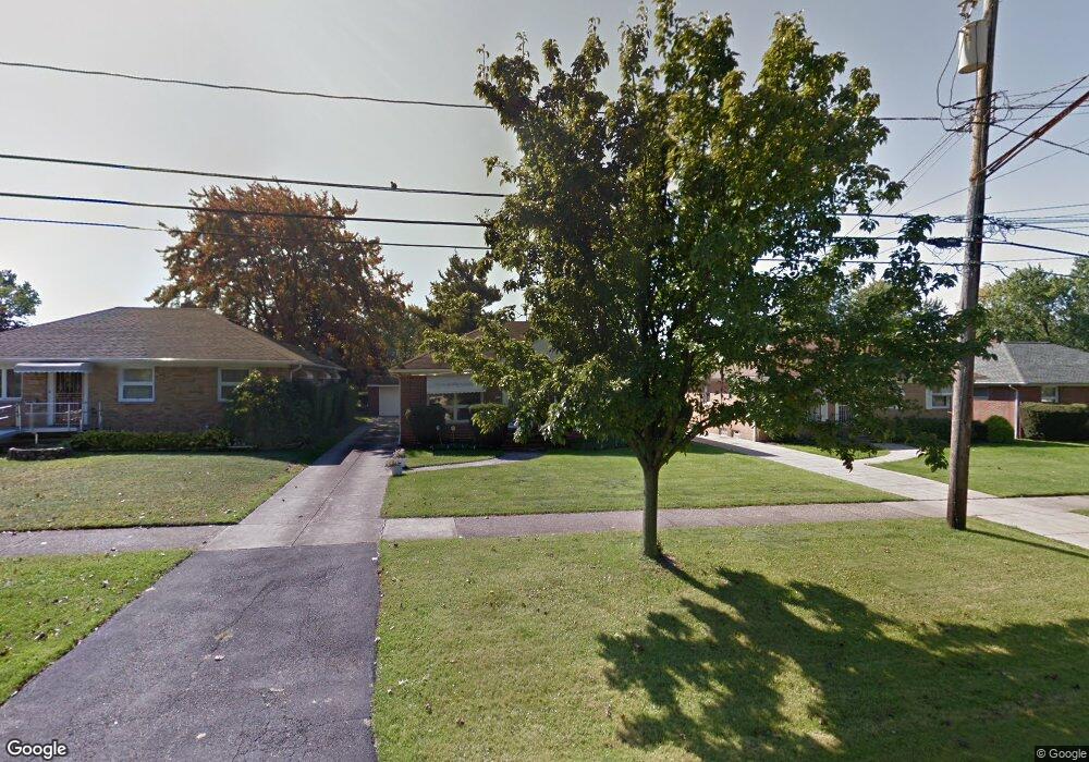
17508 Mccracken Rd Maple Heights, OH 44137
Estimated Value: $127,233 - $170,000
3
Beds
2
Baths
1,160
Sq Ft
$121/Sq Ft
Est. Value
About This Home
This home is located at 17508 Mccracken Rd, Maple Heights, OH 44137 and is currently estimated at $140,308, approximately $120 per square foot. 17508 Mccracken Rd is a home located in Cuyahoga County with nearby schools including Abraham Lincoln Elementary School, Rockside/ J.F. Kennedy School, and Barack Obama School.
Ownership History
Date
Name
Owned For
Owner Type
Purchase Details
Closed on
Mar 22, 2025
Sold by
Swanson Jack and Hall-Swanson Kathleen
Bought by
Hall-Swanson Kathleen
Current Estimated Value
Purchase Details
Closed on
Sep 6, 2022
Sold by
Hall-Swanson Kathleen and Hall-Swanson Jack
Bought by
Hall-Swanson Kathleen and Swanson Jack
Home Financials for this Owner
Home Financials are based on the most recent Mortgage that was taken out on this home.
Original Mortgage
$71,000
Interest Rate
4.59%
Mortgage Type
Balloon
Purchase Details
Closed on
Sep 29, 2003
Sold by
Estate Of John A Dekellis and Coletta Norma Jean
Bought by
Hall Kathleen
Home Financials for this Owner
Home Financials are based on the most recent Mortgage that was taken out on this home.
Original Mortgage
$101,398
Interest Rate
6.33%
Mortgage Type
FHA
Purchase Details
Closed on
Jan 1, 1975
Bought by
Dekellis John A
Create a Home Valuation Report for This Property
The Home Valuation Report is an in-depth analysis detailing your home's value as well as a comparison with similar homes in the area
Home Values in the Area
Average Home Value in this Area
Purchase History
| Date | Buyer | Sale Price | Title Company |
|---|---|---|---|
| Hall-Swanson Kathleen | -- | None Listed On Document | |
| Hall-Swanson Kathleen | -- | -- | |
| Hall Kathleen | $103,000 | Midland Title Security Inc | |
| Dekellis John A | -- | -- |
Source: Public Records
Mortgage History
| Date | Status | Borrower | Loan Amount |
|---|---|---|---|
| Previous Owner | Hall-Swanson Kathleen | $71,000 | |
| Previous Owner | Hall Kathleen | $101,398 |
Source: Public Records
Tax History Compared to Growth
Tax History
| Year | Tax Paid | Tax Assessment Tax Assessment Total Assessment is a certain percentage of the fair market value that is determined by local assessors to be the total taxable value of land and additions on the property. | Land | Improvement |
|---|---|---|---|---|
| 2024 | $4,205 | $47,460 | $7,910 | $39,550 |
| 2023 | $2,707 | $25,410 | $4,760 | $20,650 |
| 2022 | $2,697 | $25,410 | $4,760 | $20,650 |
| 2021 | $2,876 | $25,410 | $4,760 | $20,650 |
| 2020 | $2,457 | $19,250 | $3,610 | $15,650 |
| 2019 | $2,442 | $55,000 | $10,300 | $44,700 |
| 2018 | $2,429 | $19,250 | $3,610 | $15,650 |
| 2017 | $2,214 | $16,840 | $3,360 | $13,480 |
| 2016 | $2,139 | $16,840 | $3,360 | $13,480 |
| 2015 | $2,142 | $16,840 | $3,360 | $13,480 |
| 2014 | $2,142 | $18,520 | $3,680 | $14,840 |
Source: Public Records
Map
Nearby Homes
- 5061 Philip Ave
- 5031 Cato St
- 5082 Philip Ave
- 5110 Philip Ave
- 5199 Arch St
- 5185 Clement Ave
- 5231 Philip Ave
- 16712 Kollin Ave
- 5208 Clement Ave
- 5239 Arch St
- 5257 Philip Ave
- 5212 Catherine St
- 5234 Erwin St
- 5210 Theodore St
- 4737 E 174th St
- 5320 Clement Ave
- 16241 Glenburn Ave
- 17806 Tarkington Ave
- 17916 North Blvd
- 17912 North Blvd
- 17512 Mccracken Rd
- 17504 Mccracken Rd
- 5033 Philip Ave
- 5032 Thomas St
- 17516 Mccracken Rd
- 17500 Mccracken Rd
- 5037 Philip Ave
- 5036 Thomas St
- 5041 Philip Ave
- 5040 Thomas St
- 17700 Mccracken Rd
- 17496 Mccracken Rd
- 5045 Philip Ave
- 5046 Thomas St
- 17513 Mccracken Rd
- 17515 Mccracken Rd
- 17509 Mccracken Rd
- 17505 Mccracken Rd
- 17519 Mccracken Rd
- 5049 Philip Ave