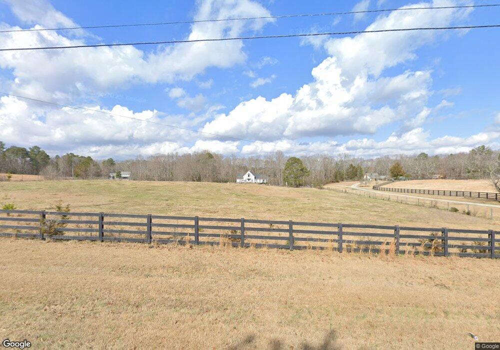
1751 Swint Rd Griffin, GA 30224
Spalding County NeighborhoodEstimated Value: $460,713 - $694,000
--
Bed
3
Baths
3,639
Sq Ft
$152/Sq Ft
Est. Value
About This Home
This home is located at 1751 Swint Rd, Griffin, GA 30224 and is currently estimated at $552,178, approximately $151 per square foot. 1751 Swint Rd is a home located in Spalding County with nearby schools including Futral Road Elementary School, Rehoboth Road Middle School, and Spalding High School.
Ownership History
Date
Name
Owned For
Owner Type
Purchase Details
Closed on
Feb 5, 2015
Sold by
Laird Betty S
Bought by
Galloway Steven L and Galloway Jennifer L
Current Estimated Value
Home Financials for this Owner
Home Financials are based on the most recent Mortgage that was taken out on this home.
Original Mortgage
$200,000
Outstanding Balance
$153,467
Interest Rate
3.81%
Mortgage Type
New Conventional
Estimated Equity
$398,711
Create a Home Valuation Report for This Property
The Home Valuation Report is an in-depth analysis detailing your home's value as well as a comparison with similar homes in the area
Home Values in the Area
Average Home Value in this Area
Purchase History
| Date | Buyer | Sale Price | Title Company |
|---|---|---|---|
| Galloway Steven L | -- | -- | |
| Kiley Vince F | $250,000 | -- |
Source: Public Records
Mortgage History
| Date | Status | Borrower | Loan Amount |
|---|---|---|---|
| Open | Kiley Vince F | $200,000 | |
| Closed | Galloway Steven L | $200,000 |
Source: Public Records
Tax History Compared to Growth
Tax History
| Year | Tax Paid | Tax Assessment Tax Assessment Total Assessment is a certain percentage of the fair market value that is determined by local assessors to be the total taxable value of land and additions on the property. | Land | Improvement |
|---|---|---|---|---|
| 2024 | $5,040 | $150,086 | $29,988 | $120,098 |
| 2023 | $5,589 | $155,512 | $29,988 | $125,524 |
| 2022 | $4,860 | $135,471 | $23,990 | $111,481 |
| 2021 | $4,547 | $126,855 | $23,990 | $102,865 |
| 2020 | $4,563 | $126,855 | $23,990 | $102,865 |
| 2019 | $4,655 | $126,855 | $23,990 | $102,865 |
| 2018 | $0 | $120,022 | $23,990 | $96,032 |
| 2017 | $4,395 | $120,022 | $23,990 | $96,032 |
| 2016 | $3,716 | $123,059 | $23,990 | $99,068 |
| 2015 | $4,193 | $126,284 | $27,216 | $99,068 |
| 2014 | $4,263 | $126,284 | $27,216 | $99,068 |
Source: Public Records
Map
Nearby Homes
- 111 Cynthia Cir
- 460 McKneely Rd
- 275 Liberty Bell Ln
- 2495 Barnesville Rd
- 108 Timber Ridge Dr
- 245 Kennelsman Dr
- 270 Kennelsman Dr
- 87 Hounds Way
- Flora Plan at Fox Crossing
- Cali Plan at Fox Crossing
- Galen Plan at Fox Crossing
- Aisle Plan at Fox Crossing
- Aria Plan at Fox Crossing
- 250 Kennelsman Dr
- 258 Kennelsman Dr
- 264 Kennelsman Dr
- 2613 Rehoboth Rd
- 145 Hounds Way Unit LOT 94
- 171 Kennelsman Dr
- 269 Kennelsman Dr
- 1685 Swint Rd
- 1757 Swint Rd
- 1804 St
- 1710 Swint Rd
- 1831 Swint Rd
- 360 Hereford Farm Rd
- 104 Cynthia Cir
- 102 Cynthia Cir
- 100 Cynthia Cir
- 1625 Swint Rd
- 106 Cynthia Cir
- 108 Cynthia Cir
- 103 Cynthia Cir
- 1873 Swint Rd
- 0 Cynthia Cir Unit 7610114
- 0 Cynthia Cir Unit 7610112
- 0 Cynthia Cir Unit 8621846
- 0 Cynthia Cir Unit 8583362
- 0 Cynthia Cir Unit 8234462
- 0 Cynthia Cir Unit 7529015