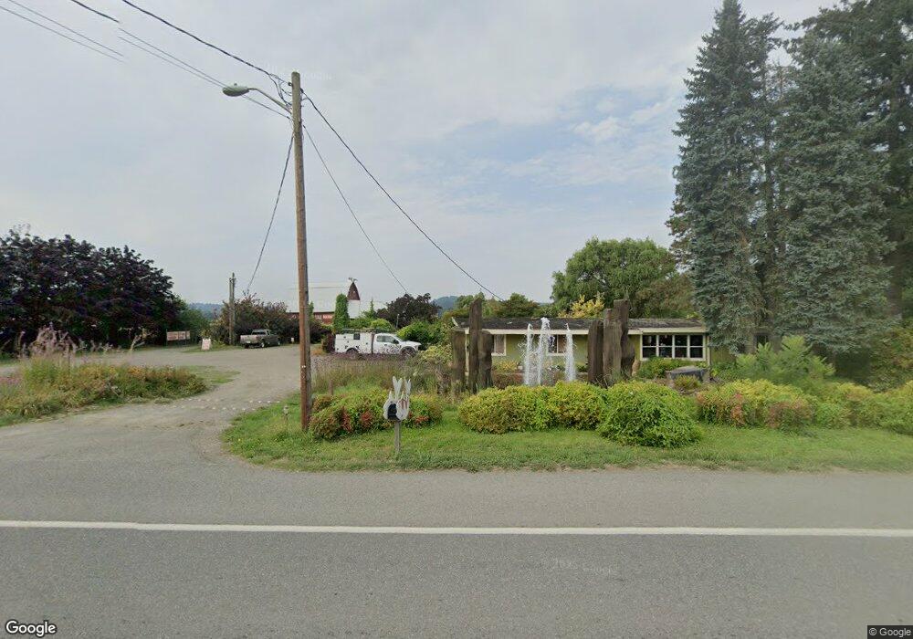
17516 State Route 203 Monroe, WA 98272
Estimated Value: $729,440 - $848,000
3
Beds
2
Baths
1,782
Sq Ft
$454/Sq Ft
Est. Value
About This Home
This home is located at 17516 State Route 203, Monroe, WA 98272 and is currently estimated at $809,860, approximately $454 per square foot. 17516 State Route 203 is a home located in Snohomish County with nearby schools including Frank Wagner Elementary School, Monroe High School, and Monroe Montessori School.
Ownership History
Date
Name
Owned For
Owner Type
Purchase Details
Closed on
Oct 10, 2006
Sold by
Klein Michael P
Bought by
Perry Richard M
Current Estimated Value
Home Financials for this Owner
Home Financials are based on the most recent Mortgage that was taken out on this home.
Original Mortgage
$364,000
Outstanding Balance
$216,966
Interest Rate
6.44%
Mortgage Type
Purchase Money Mortgage
Estimated Equity
$592,894
Create a Home Valuation Report for This Property
The Home Valuation Report is an in-depth analysis detailing your home's value as well as a comparison with similar homes in the area
Home Values in the Area
Average Home Value in this Area
Purchase History
| Date | Buyer | Sale Price | Title Company |
|---|---|---|---|
| Perry Richard M | $455,000 | Pnwt |
Source: Public Records
Mortgage History
| Date | Status | Borrower | Loan Amount |
|---|---|---|---|
| Open | Perry Richard M | $364,000 |
Source: Public Records
Tax History Compared to Growth
Tax History
| Year | Tax Paid | Tax Assessment Tax Assessment Total Assessment is a certain percentage of the fair market value that is determined by local assessors to be the total taxable value of land and additions on the property. | Land | Improvement |
|---|---|---|---|---|
| 2025 | $3,116 | $600,100 | $328,900 | $271,200 |
| 2024 | $3,116 | $370,200 | $136,100 | $234,100 |
| 2023 | $3,055 | $397,300 | $136,100 | $261,200 |
| 2022 | $3,019 | $310,600 | $95,300 | $215,300 |
| 2020 | $2,244 | $219,600 | $91,300 | $128,300 |
| 2019 | $2,213 | $216,900 | $91,300 | $125,600 |
| 2018 | $2,495 | $198,600 | $78,500 | $120,100 |
| 2017 | $2,064 | $170,000 | $60,100 | $109,900 |
| 2016 | $2,729 | $205,600 | $95,500 | $110,100 |
| 2015 | $2,521 | $184,900 | $91,500 | $93,400 |
| 2013 | $2,745 | $184,200 | $91,500 | $92,700 |
Source: Public Records
Map
Nearby Homes
- 535 Terrace St
- 520 S Kelsey St
- 523 Park St
- 850 Village Way
- 643 Monroe St
- 628 Roberts St
- 517 Roberts St
- 304 S Lewis St
- 1017 W Main St Unit B101
- 216 S Blakeley St
- 162 Charles St
- 319 Short Columbia St
- 230 N Madison St
- 189 XX 209th Ave SE
- 1152 Johnson St SE
- 16311 177th Ave SE
- 17510 W Main St Unit C103
- 18155 W Columbia St
- 700 W Maple St
- 17417 W Main St Unit E101
- 17602 State Route 203
- 17614 Washington 203
- 17428 State Route 203
- 17527 State Route 203
- 17527 Washington 203
- 13414 198th Ave SE
- 17519 State Route 203
- 17326 State Route 203
- 17728 State Route 203
- 17503 State Route 203
- 17425 State Route 203
- 17425 Washington 203
- 17711 State Route 203
- 17325 State Route 203
- 17820 State Route 203
- 18006 Tualco Rd
- 17329 State Route 203
- 17220 State Route 203
- 17904 State Route 203
- 18004 Tualco Rd