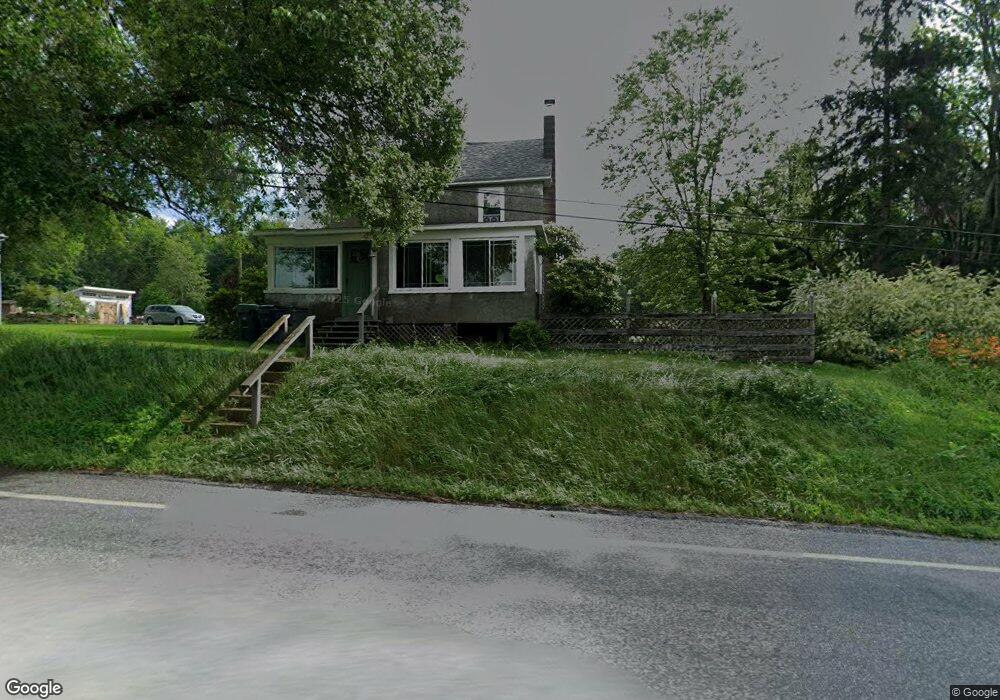
1752 Hudson Dr Weatherly, PA 18255
Estimated Value: $190,446 - $262,000
2
Beds
1
Bath
864
Sq Ft
$259/Sq Ft
Est. Value
About This Home
This home is located at 1752 Hudson Dr, Weatherly, PA 18255 and is currently estimated at $224,149, approximately $259 per square foot. 1752 Hudson Dr is a home located in Carbon County with nearby schools including Weatherly Elementary/ Middle School and Weatherly Area Senior High School.
Ownership History
Date
Name
Owned For
Owner Type
Purchase Details
Closed on
Oct 28, 2012
Sold by
Katchur Mary Ann
Bought by
Molnar Michael and Molnar Deborah
Current Estimated Value
Home Financials for this Owner
Home Financials are based on the most recent Mortgage that was taken out on this home.
Original Mortgage
$42,000
Interest Rate
3.5%
Mortgage Type
Purchase Money Mortgage
Create a Home Valuation Report for This Property
The Home Valuation Report is an in-depth analysis detailing your home's value as well as a comparison with similar homes in the area
Home Values in the Area
Average Home Value in this Area
Purchase History
| Date | Buyer | Sale Price | Title Company |
|---|---|---|---|
| Molnar Michael | $85,000 | None Available |
Source: Public Records
Mortgage History
| Date | Status | Borrower | Loan Amount |
|---|---|---|---|
| Closed | Molnar Michael | $42,000 |
Source: Public Records
Tax History Compared to Growth
Tax History
| Year | Tax Paid | Tax Assessment Tax Assessment Total Assessment is a certain percentage of the fair market value that is determined by local assessors to be the total taxable value of land and additions on the property. | Land | Improvement |
|---|---|---|---|---|
| 2025 | $3,147 | $45,550 | $10,800 | $34,750 |
| 2024 | $2,958 | $45,550 | $10,800 | $34,750 |
| 2023 | $2,856 | $45,550 | $10,800 | $34,750 |
| 2022 | $2,856 | $45,550 | $10,800 | $34,750 |
| 2021 | $2,810 | $45,550 | $10,800 | $34,750 |
| 2020 | $2,810 | $45,550 | $10,800 | $34,750 |
| 2019 | $2,652 | $45,550 | $10,800 | $34,750 |
| 2018 | $2,588 | $45,550 | $10,800 | $34,750 |
| 2017 | $2,519 | $45,550 | $10,800 | $34,750 |
| 2016 | -- | $45,550 | $10,800 | $34,750 |
| 2015 | -- | $45,550 | $10,800 | $34,750 |
| 2014 | -- | $45,550 | $10,800 | $34,750 |
Source: Public Records
Map
Nearby Homes
- 751 Hudson Dr
- 374 Packer Dr
- Lot C1.13 Packer Dr
- 0 Packer Dr
- 462 Plane St
- 25 Franklin St
- 220 Entwistle St
- 100 Monroe Ct
- 333 Carbon St
- 0 Grist Mill Drive Lot Unit WP001
- 135 Dean St
- 631 3rd St
- 97 Broad St
- 0 Grist Mill Dr
- 6851 Buck Mountain Rd
- 19 3rd St
- 829 E Main St
- 0 Buck Mountain Rd Unit 747254
- 419 Sand Spring Rd
- 2001 E Broad St
- 1714 Hudson Dr
- 1950 Hudson Dr
- 1926 Hudson Dr
- 1935 Hudson Dr
- 1561 Hudson Dr
- 147 Brenkman Dr
- 1960 Hudson Dr
- 1629 Packer Dr
- 1653 Packer Dr
- 1538 Hudson Dr
- 3136 Wetzel Run Dr
- 1545 Hudson Dr
- 217 Brenkman Dr
- 2 Station Ln
- 3106 Wetzel Run Dr
- 12 Station Ln
- 1513 Hudson Dr
- 52 Station Ln
- 1469 Hudson Dr
- 1458 Hudson Dr