1752 Lees Rd Hebron, OH 43025
Union NeighborhoodEstimated Value: $390,000 - $804,192
3
Beds
3
Baths
2,148
Sq Ft
$259/Sq Ft
Est. Value
About This Home
This home is located at 1752 Lees Rd, Hebron, OH 43025 and is currently estimated at $556,064, approximately $258 per square foot. 1752 Lees Rd is a home with nearby schools including Jackson Intermediate School, Lakewood Middle School, and Lakewood High School.
Ownership History
Date
Name
Owned For
Owner Type
Purchase Details
Closed on
May 29, 2021
Sold by
Andrews Kelly A
Bought by
Kazmierczak Tonya and Kazmierczak Scott
Current Estimated Value
Purchase Details
Closed on
May 27, 2021
Sold by
Brown Ronald D and Brown Becky
Bought by
Kazmierczak Tonya and Kazmierczak Scott
Purchase Details
Closed on
Jul 18, 2018
Sold by
Andrews Deborah J
Bought by
Andrews Kelly A and Andrews Family Preservation Trust
Purchase Details
Closed on
Feb 14, 2007
Sold by
Brown Ronald D and Brown Becky
Bought by
Brown Ronald D and Brown Becky
Create a Home Valuation Report for This Property
The Home Valuation Report is an in-depth analysis detailing your home's value as well as a comparison with similar homes in the area
Home Values in the Area
Average Home Value in this Area
Purchase History
| Date | Buyer | Sale Price | Title Company |
|---|---|---|---|
| Kazmierczak Tonya | -- | None Available | |
| Andrews Kelly A | -- | None Available | |
| Kazmierczak Tonya | -- | None Available | |
| Andrews Kelly A | -- | None Available | |
| Andrews Kelly A | -- | None Available | |
| Brown Ronald D | -- | None Available |
Source: Public Records
Tax History Compared to Growth
Tax History
| Year | Tax Paid | Tax Assessment Tax Assessment Total Assessment is a certain percentage of the fair market value that is determined by local assessors to be the total taxable value of land and additions on the property. | Land | Improvement |
|---|---|---|---|---|
| 2024 | $5,199 | $170,800 | $76,790 | $94,010 |
| 2023 | $5,403 | $170,800 | $76,790 | $94,010 |
| 2022 | $453 | $41,550 | $41,230 | $320 |
| 2021 | $912 | $36,960 | $36,610 | $350 |
| 2020 | $288 | $70,810 | $70,460 | $350 |
| 2019 | $568 | $52,470 | $52,190 | $280 |
| 2018 | $574 | $0 | $0 | $0 |
| 2017 | $572 | $0 | $0 | $0 |
| 2016 | $821 | $0 | $0 | $0 |
| 2015 | $816 | $0 | $0 | $0 |
| 2014 | $408 | $0 | $0 | $0 |
| 2013 | $344 | $0 | $0 | $0 |
Source: Public Records
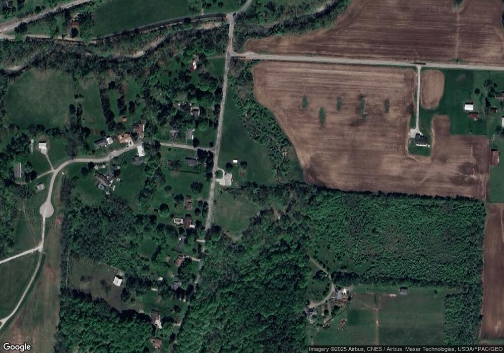
Map
Nearby Homes
- 1283 Union Station Rd
- 1906 Seminary Rd
- 2241 Seminary Rd SE
- 1400 Hayes Rd
- 1100 Thornwood Dr SW Unit 19
- 1100 Thornwood Dr SW Unit 707
- 1100 Thornwood Dr Unit 94
- 799 Old James Rd
- 0 Hayes Rd
- 3343 Hayes Rd
- 233 Auburn Dr
- 223 Park Ridge Ln
- 6651 Lancaster Rd
- 201 Olde Park W
- 2984 Canyon Rd
- 2285 Overlook Way
- 2275 Overlook Way
- 2200 Overlook Way
- 1801 River Rd
- 290 Willow Way
- 4847 Canyon Rd SE
- 4870 Canyon Rd SE
- 39 Owens Dr
- 38 Owens Dr
- 4896 Canyon Rd SE
- 4772 Canyon Rd SE
- 4914 Canyon Rd SE
- 5006 Canyon Rd SE
- 89 Owens Dr
- 4728 Canyon Rd SE
- 84 Owens Dr
- 100 Owens Dr
- 5024 Canyon Rd SE
- 4897 Canyon Rd SE
- 122 Owens Dr
- 111 Owens Dr
- 3400 Canyon Rd SE
- 3104 Canyon Rd SE
- 2807 Canyon Rd SE
- 4245 Canyon Rd SE