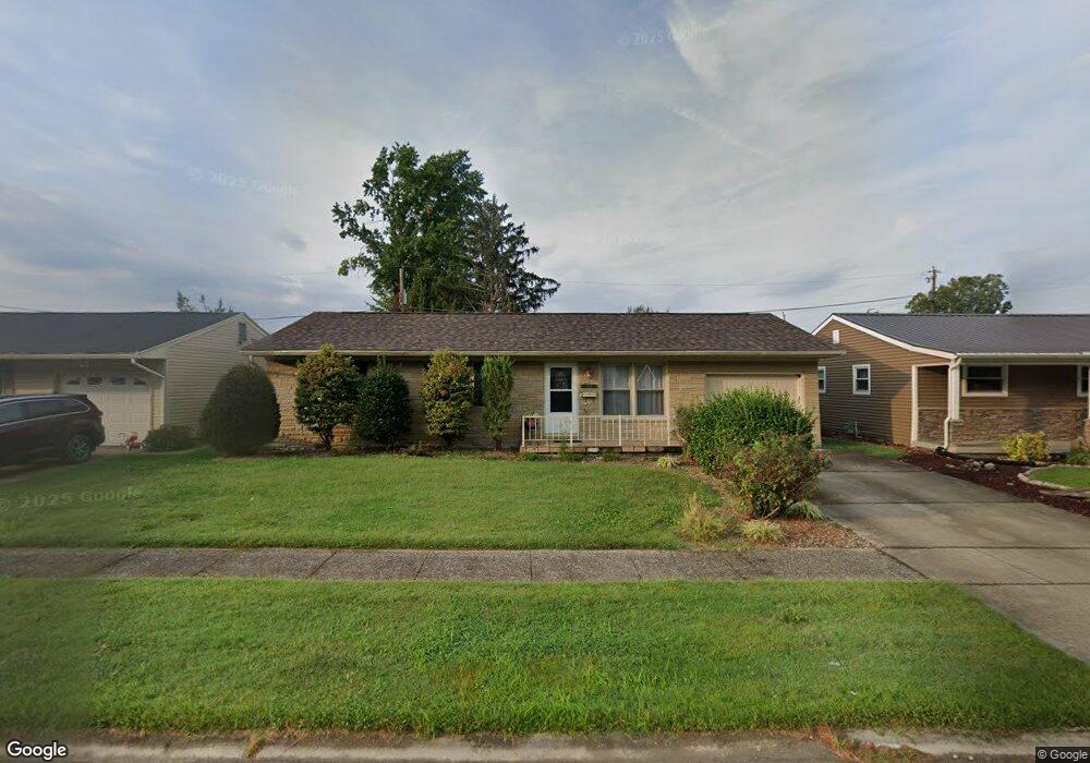
1752 Phillip St Ironton, OH 45638
Estimated Value: $174,000 - $203,000
3
Beds
2
Baths
1,344
Sq Ft
$143/Sq Ft
Est. Value
About This Home
This home is located at 1752 Phillip St, Ironton, OH 45638 and is currently estimated at $192,236, approximately $143 per square foot. 1752 Phillip St is a home located in Lawrence County with nearby schools including Ironton Elementary School, Ironton Middle School, and Ironton High School.
Ownership History
Date
Name
Owned For
Owner Type
Purchase Details
Closed on
Oct 31, 2022
Sold by
Russell Regina G
Bought by
Rimer Virginia L
Current Estimated Value
Home Financials for this Owner
Home Financials are based on the most recent Mortgage that was taken out on this home.
Original Mortgage
$155,585
Outstanding Balance
$149,876
Interest Rate
6.7%
Mortgage Type
FHA
Estimated Equity
$42,360
Purchase Details
Closed on
Apr 25, 1990
Sold by
Lemaster Philip W and Lemaster Ter
Bought by
Russell John L and Russell Regina G
Create a Home Valuation Report for This Property
The Home Valuation Report is an in-depth analysis detailing your home's value as well as a comparison with similar homes in the area
Home Values in the Area
Average Home Value in this Area
Purchase History
| Date | Buyer | Sale Price | Title Company |
|---|---|---|---|
| Rimer Virginia L | $169,900 | -- | |
| Rimer Virginia L | $169,900 | None Listed On Document | |
| Russell John L | $46,500 | -- |
Source: Public Records
Mortgage History
| Date | Status | Borrower | Loan Amount |
|---|---|---|---|
| Open | Rimer Virginia L | $155,585 | |
| Closed | Rimer Virginia L | $155,585 |
Source: Public Records
Tax History
| Year | Tax Paid | Tax Assessment Tax Assessment Total Assessment is a certain percentage of the fair market value that is determined by local assessors to be the total taxable value of land and additions on the property. | Land | Improvement |
|---|---|---|---|---|
| 2025 | $1,305 | $43,092 | $7,476 | $35,616 |
| 2024 | -- | $35,320 | $6,130 | $29,190 |
| 2023 | $1,305 | $35,320 | $6,130 | $29,190 |
| 2022 | $1,272 | $35,320 | $6,130 | $29,190 |
| 2021 | $1,207 | $32,110 | $5,080 | $27,030 |
| 2020 | $1,223 | $32,110 | $5,080 | $27,030 |
| 2019 | $1,218 | $32,110 | $5,080 | $27,030 |
| 2018 | $1,232 | $32,110 | $5,080 | $27,030 |
| 2017 | $1,229 | $32,110 | $5,080 | $27,030 |
| 2016 | $1,153 | $32,110 | $5,080 | $27,030 |
| 2015 | $933 | $25,010 | $5,080 | $19,930 |
| 2014 | $900 | $25,010 | $5,080 | $19,930 |
| 2013 | $898 | $25,010 | $5,080 | $19,930 |
Source: Public Records
Map
Nearby Homes
- 1748 Phillip St
- 1756 Phillip St
- 1751 Kevin St
- 1747 Kevin St
- 1755 Kevin St
- 1755 Kevin St Unit KO-9
- 1744 Phillip St
- 1760 Phillip St
- 1753 Phillip St
- 1753 Phillip St Unit JO-10
- 1757 Phillip St
- 1749 Phillip St
- 1761 Phillip St
- 1761 Phillip St Unit IO-1
- 1761 Phillip St
- 1739 Kevin St
- 1740 Phillip St
- 1745 Phillip St
- 1735 Phillip St
- 1752 Waldo Dr
Your Personal Tour Guide
Ask me questions while you tour the home.