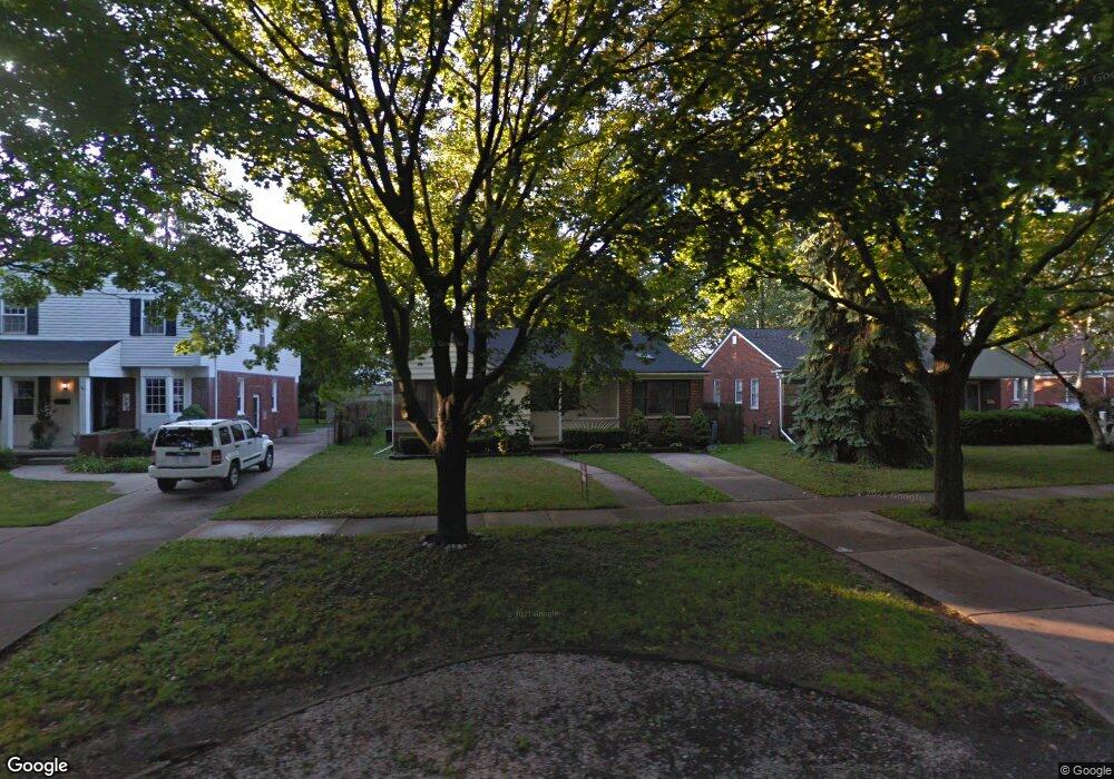
1752 Sheffield Rd Unit Bldg-Unit Birmingham, MI 48009
Estimated Value: $462,000 - $532,000
2
Beds
2
Baths
1,322
Sq Ft
$377/Sq Ft
Est. Value
About This Home
This home is located at 1752 Sheffield Rd Unit Bldg-Unit, Birmingham, MI 48009 and is currently estimated at $497,864, approximately $376 per square foot. 1752 Sheffield Rd Unit Bldg-Unit is a home located in Oakland County with nearby schools including Pembroke Elementary School, Derby Middle School, and Ernest W. Seaholm High School.
Ownership History
Date
Name
Owned For
Owner Type
Purchase Details
Closed on
Apr 22, 2022
Sold by
Mcgrane Thomas D
Bought by
Wang Jifeng and Yuan Lisi
Current Estimated Value
Purchase Details
Closed on
Feb 2, 2018
Sold by
Hults James P
Bought by
Mcgrane Thomas D
Purchase Details
Closed on
Dec 20, 2001
Sold by
Okros Ann-Marie
Bought by
Lymperis William B
Purchase Details
Closed on
Dec 13, 2001
Sold by
Lymperis William B
Bought by
Hults James P
Create a Home Valuation Report for This Property
The Home Valuation Report is an in-depth analysis detailing your home's value as well as a comparison with similar homes in the area
Home Values in the Area
Average Home Value in this Area
Purchase History
| Date | Buyer | Sale Price | Title Company |
|---|---|---|---|
| Wang Jifeng | $362,000 | Devon Title Agency | |
| Mcgrane Thomas D | $232,000 | None Available | |
| Lymperis William B | -- | -- | |
| Hults James P | $180,000 | -- |
Source: Public Records
Tax History Compared to Growth
Tax History
| Year | Tax Paid | Tax Assessment Tax Assessment Total Assessment is a certain percentage of the fair market value that is determined by local assessors to be the total taxable value of land and additions on the property. | Land | Improvement |
|---|---|---|---|---|
| 2024 | $7,708 | $193,660 | $0 | $0 |
| 2023 | $7,356 | $180,560 | $0 | $0 |
| 2022 | $4,861 | $142,150 | $0 | $0 |
| 2021 | $4,904 | $134,450 | $0 | $0 |
| 2020 | $4,369 | $125,420 | $0 | $0 |
| 2019 | $4,945 | $118,050 | $0 | $0 |
| 2018 | $3,141 | $109,890 | $0 | $0 |
| 2017 | $3,840 | $106,680 | $0 | $0 |
| 2016 | $3,823 | $104,380 | $0 | $0 |
| 2015 | -- | $96,160 | $0 | $0 |
| 2014 | -- | $80,400 | $0 | $0 |
| 2011 | -- | $69,230 | $0 | $0 |
Source: Public Records
Map
Nearby Homes
- 1717 Penistone St
- 2070 Sheffield Rd
- 1458 Chapin Ave
- 1552 Bennaville Ave
- 1368 Bennaville Ave
- 1532 Cheltenham Rd
- 1268 Davis Ave
- 1590 Cheltenham Rd
- 1982 E Lincoln St
- 1427 Humphrey Ave
- 4109 Grandview Rd
- 1760 Cole St
- 1135 Chapin Ave
- 15588 Kirkshire Ave
- 1106 Bennaville Ave
- 4423 Groveland Ave
- 000 Taunton Rd
- 1963 Cole St
- 4402 Arlington Dr
- 4328 Arden Place
- 1752 Sheffield Rd
- 1736 Sheffield Rd
- 1788 Sheffield Rd
- 1736 Croft Rd
- 1741 Bradford Rd
- 1710 Sheffield Rd
- 1785 Bradford Rd
- 1739 Croft Rd
- 1715 Croft Rd
- 1834 Sheffield Rd
- 1765 Croft Rd
- 1737 Sheffield Rd
- 1787 Croft Rd
- 1856 Sheffield Rd
- 1787 Sheffield Rd
- 1732 Bradford Rd
- 1750 Bradford Rd
- 1786 Bradford Rd
- 1720 Bradford Rd
- 1767 Sheffield Rd