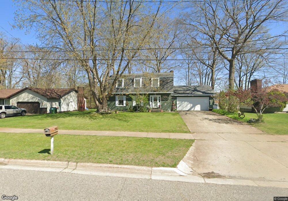
1752 Woodside Rd Norton Shores, MI 49441
Estimated Value: $276,000 - $320,000
3
Beds
3
Baths
1,872
Sq Ft
$162/Sq Ft
Est. Value
About This Home
This home is located at 1752 Woodside Rd, Norton Shores, MI 49441 and is currently estimated at $303,135, approximately $161 per square foot. 1752 Woodside Rd is a home located in Muskegon County with nearby schools including Mona Shores High School, Dr. Martin Luther King Academy, and West Shore Lutheran School.
Ownership History
Date
Name
Owned For
Owner Type
Purchase Details
Closed on
Dec 7, 2020
Sold by
Schaub Kimberly M
Bought by
Schaub Kimberly M and Schaub Molly
Current Estimated Value
Purchase Details
Closed on
Apr 29, 2004
Sold by
Waters Cathy J
Bought by
Schaub Kimberly M
Home Financials for this Owner
Home Financials are based on the most recent Mortgage that was taken out on this home.
Original Mortgage
$115,500
Outstanding Balance
$54,153
Interest Rate
5.5%
Mortgage Type
Purchase Money Mortgage
Estimated Equity
$248,982
Create a Home Valuation Report for This Property
The Home Valuation Report is an in-depth analysis detailing your home's value as well as a comparison with similar homes in the area
Home Values in the Area
Average Home Value in this Area
Purchase History
| Date | Buyer | Sale Price | Title Company |
|---|---|---|---|
| Schaub Kimberly M | -- | None Available | |
| Schaub Kimberly M | -- | Harbor Title Agency Of Grand |
Source: Public Records
Mortgage History
| Date | Status | Borrower | Loan Amount |
|---|---|---|---|
| Open | Schaub Kimberly M | $115,500 |
Source: Public Records
Tax History Compared to Growth
Tax History
| Year | Tax Paid | Tax Assessment Tax Assessment Total Assessment is a certain percentage of the fair market value that is determined by local assessors to be the total taxable value of land and additions on the property. | Land | Improvement |
|---|---|---|---|---|
| 2025 | $2,657 | $144,900 | $0 | $0 |
| 2024 | $2,083 | $134,700 | $0 | $0 |
| 2023 | $1,989 | $118,800 | $0 | $0 |
| 2022 | $2,425 | $104,300 | $0 | $0 |
| 2021 | $2,356 | $92,700 | $0 | $0 |
| 2020 | $2,329 | $82,500 | $0 | $0 |
| 2019 | $2,287 | $73,400 | $0 | $0 |
| 2018 | $2,233 | $67,800 | $0 | $0 |
| 2017 | $2,181 | $65,500 | $0 | $0 |
| 2016 | $1,689 | $59,300 | $0 | $0 |
| 2015 | -- | $56,400 | $0 | $0 |
| 2014 | $2,027 | $56,100 | $0 | $0 |
| 2013 | -- | $52,600 | $0 | $0 |
Source: Public Records
Map
Nearby Homes
- 1733 Woodside Rd
- 1582 Haverhill Rd
- 1936 Lawnel Ave
- 1744 W Norton Ave
- 1689 Bonneville Dr
- 1752 Bonneville Dr
- 1650 Bonneville Dr
- 1480 Marlboro Rd
- 3283 Mccracken St
- 1448 Marlboro Rd
- 2881 Cornell Ct
- 1521 Cornell Rd
- 3246 Royal Oak Rd
- 1377 Princeton Rd
- 3658 Lake Harbor Rd
- 2263 Lawnel Ave
- 2278 Reneer Ave
- 2280 Arbor Ave
- 2059 Garland Dr
- 2715 Liberty Rd
- 1766 Woodside Rd
- 1740 Woodside Rd
- 1757 Woodside Rd
- 1728 Woodside Rd
- 1745 Woodside Rd
- 1780 Woodside Rd
- 1769 Woodside Rd
- 1716 Woodside Rd
- 1721 Woodside Rd
- 1783 Woodside Rd
- 1758 Lawnel Ave
- 1746 Lawnel Ave
- 1709 Woodside Rd
- 1770 Lawnel Ave
- 1734 Lawnel Ave
- 1782 Lawnel Ave
- 1805 Reneer Ave
- 1699 Woodside Rd
- 1808 Furhman St
- 1813 Arbor Ave