17520 Keslinger Rd Maple Park, IL 60151
Estimated Value: $441,000 - $454,189
--
Bed
--
Bath
--
Sq Ft
3.97
Acres
About This Home
This home is located at 17520 Keslinger Rd, Maple Park, IL 60151 and is currently estimated at $446,730. 17520 Keslinger Rd is a home located in DeKalb County with nearby schools including Kaneland Blackberry Creek Elementary School, Harter Middle School, and Kaneland Senior High School.
Ownership History
Date
Name
Owned For
Owner Type
Purchase Details
Closed on
Sep 4, 2013
Sold by
Larson Raymond L
Bought by
Martz Justin M and Martz Jamie L
Current Estimated Value
Home Financials for this Owner
Home Financials are based on the most recent Mortgage that was taken out on this home.
Original Mortgage
$180,000
Outstanding Balance
$134,215
Interest Rate
4.38%
Mortgage Type
New Conventional
Estimated Equity
$312,515
Create a Home Valuation Report for This Property
The Home Valuation Report is an in-depth analysis detailing your home's value as well as a comparison with similar homes in the area
Home Values in the Area
Average Home Value in this Area
Purchase History
| Date | Buyer | Sale Price | Title Company |
|---|---|---|---|
| Martz Justin M | $225,000 | -- |
Source: Public Records
Mortgage History
| Date | Status | Borrower | Loan Amount |
|---|---|---|---|
| Open | Martz Justin M | $180,000 |
Source: Public Records
Tax History Compared to Growth
Tax History
| Year | Tax Paid | Tax Assessment Tax Assessment Total Assessment is a certain percentage of the fair market value that is determined by local assessors to be the total taxable value of land and additions on the property. | Land | Improvement |
|---|---|---|---|---|
| 2024 | $9,398 | $115,564 | $35,888 | $79,676 |
| 2023 | $9,398 | $105,682 | $32,819 | $72,863 |
| 2022 | $9,525 | $104,192 | $32,356 | $71,836 |
| 2021 | $9,077 | $97,594 | $30,307 | $67,287 |
| 2020 | $8,568 | $92,471 | $28,716 | $63,755 |
| 2019 | $8,371 | $89,000 | $27,638 | $61,362 |
| 2018 | $8,205 | $85,281 | $26,483 | $58,798 |
| 2017 | $7,878 | $80,151 | $24,890 | $55,261 |
| 2016 | $7,588 | $76,979 | $23,905 | $53,074 |
| 2015 | -- | $72,622 | $22,552 | $50,070 |
| 2014 | -- | $71,967 | $22,349 | $49,618 |
| 2013 | -- | $74,048 | $22,995 | $51,053 |
Source: Public Records
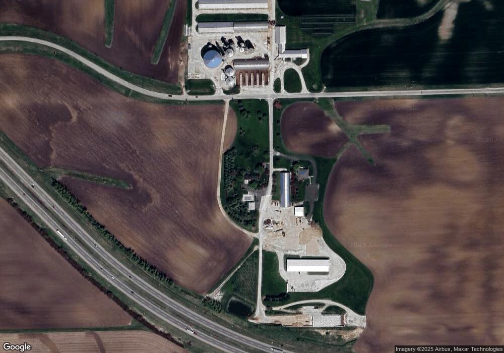
Map
Nearby Homes
- 220 W Ashton Dr
- 646 W Ashton Dr
- 748 W Ashton Dr
- 750 W Ashton Dr
- 752 W Ashton Dr
- 754 W Ashton Dr
- 753 W Ashton Dr
- 325 W Burlington Dr
- Meadowlark Plan at Heritage Hill Estates
- Starling Plan at Heritage Hill Estates
- Siena II Plan at Heritage Hill Estates
- Townsend Plan at Heritage Hill Estates
- Wren Plan at Heritage Hill Estates
- 528 S Joliet St
- 529 S Kincaid St
- 523 S Joliet St
- 239 S Kincaid St
- 415 S Kincaid St
- 411 S Kincaid St
- 412 S Kincaid St
- 17520 Keslinger Rd
- 17520 Keslinger Rd
- 17520 Keslinger Rd
- 15780 Keslinger Rd
- 16770 Pritchard Rd
- 16761 Pritchard Rd
- 1100 E County Line Rd
- 805 S County Line Rd
- 17521 Pritchard Rd
- 16685 Keslinger Rd
- 1n409 County Line Rd
- 16202 Pritchard Rd
- 50W450 Keslinger Rd
- 16197 E County Line Rd
- 17629 Harter Rd
- 17488 Harter Rd
- 17723 Harter Rd
- 17759 Harter Rd
- 17740 Harter Rd
- 17813 Harter Rd