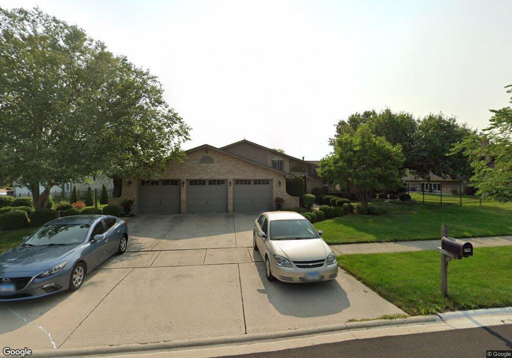
17521 Aster Ln Tinley Park, IL 60477
Central Tinley Park NeighborhoodEstimated Value: $433,061 - $485,000
4
Beds
3
Baths
1,744
Sq Ft
$260/Sq Ft
Est. Value
About This Home
This home is located at 17521 Aster Ln, Tinley Park, IL 60477 and is currently estimated at $453,765, approximately $260 per square foot. 17521 Aster Ln is a home located in Cook County with nearby schools including Millennium Elementary School, Prairie View Middle School, and Victor J Andrew High School.
Ownership History
Date
Name
Owned For
Owner Type
Purchase Details
Closed on
Nov 29, 1999
Sold by
Schuler William B and Schuler Deborah A
Bought by
Kolacki Randall J and Kolacki Mary B
Current Estimated Value
Home Financials for this Owner
Home Financials are based on the most recent Mortgage that was taken out on this home.
Original Mortgage
$176,000
Outstanding Balance
$55,554
Interest Rate
7.97%
Estimated Equity
$398,211
Create a Home Valuation Report for This Property
The Home Valuation Report is an in-depth analysis detailing your home's value as well as a comparison with similar homes in the area
Home Values in the Area
Average Home Value in this Area
Purchase History
| Date | Buyer | Sale Price | Title Company |
|---|---|---|---|
| Kolacki Randall J | $220,000 | -- |
Source: Public Records
Mortgage History
| Date | Status | Borrower | Loan Amount |
|---|---|---|---|
| Open | Kolacki Randall J | $176,000 |
Source: Public Records
Tax History Compared to Growth
Tax History
| Year | Tax Paid | Tax Assessment Tax Assessment Total Assessment is a certain percentage of the fair market value that is determined by local assessors to be the total taxable value of land and additions on the property. | Land | Improvement |
|---|---|---|---|---|
| 2024 | $9,088 | $36,046 | $6,562 | $29,484 |
| 2023 | $7,906 | $36,046 | $6,562 | $29,484 |
| 2022 | $7,906 | $25,599 | $5,742 | $19,857 |
| 2021 | $7,683 | $25,597 | $5,741 | $19,856 |
| 2020 | $7,560 | $25,597 | $5,741 | $19,856 |
| 2019 | $9,100 | $31,487 | $5,195 | $26,292 |
| 2018 | $8,903 | $31,487 | $5,195 | $26,292 |
| 2017 | $8,684 | $31,487 | $5,195 | $26,292 |
| 2016 | $8,029 | $26,673 | $4,648 | $22,025 |
| 2015 | $7,902 | $26,673 | $4,648 | $22,025 |
| 2014 | $7,852 | $26,673 | $4,648 | $22,025 |
| 2013 | $7,728 | $28,218 | $4,648 | $23,570 |
Source: Public Records
Map
Nearby Homes
- 17800 Iroquois Trace
- 8530 Radcliffe Rd
- 7925 Belle Rive Ct
- 8543 Carriage Ln
- Eden Plan at Radcliffe Place
- Fremont Plan at Radcliffe Place
- Danbury Plan at Radcliffe Place
- Calysta Plan at Radcliffe Place
- Briarcliffe Plan at Radcliffe Place
- Amberwood Plan at Radcliffe Place
- 17155 Kamp Ct Unit 9
- 17908 Iroquois Trace
- 17324 Humber Ln
- 17631 Dover Ct
- 8444 W 171st St
- 17418 Avon Ln
- 8229 170th St Unit 8229
- 7841 Bristol Park Dr
- 8456 170th Place
- 17105 Rochelle Ln