1753 4 Mile CV Pkwy Unit 126 Cape Coral, FL 33990
Hancock NeighborhoodEstimated Value: $156,000 - $182,000
3
Beds
2
Baths
1,069
Sq Ft
$155/Sq Ft
Est. Value
About This Home
This home is located at 1753 4 Mile CV Pkwy Unit 126, Cape Coral, FL 33990 and is currently estimated at $166,124, approximately $155 per square foot. 1753 4 Mile CV Pkwy Unit 126 is a home located in Lee County with nearby schools including Caloosa Elementary School, Cape Elementary School, and Tropic Isles Elementary School.
Ownership History
Date
Name
Owned For
Owner Type
Purchase Details
Closed on
Nov 1, 2021
Sold by
Investors Holding Inc
Bought by
Jordan Michelle A and Brecht Ronald L
Current Estimated Value
Purchase Details
Closed on
Aug 6, 2021
Sold by
Garcia Javier and Garcia Kimberly
Bought by
Investors Holding Inc
Purchase Details
Closed on
Oct 7, 2005
Sold by
Coral Llc
Bought by
Garcia Javier and Garcia Kimberly
Home Financials for this Owner
Home Financials are based on the most recent Mortgage that was taken out on this home.
Original Mortgage
$183,040
Interest Rate
5.36%
Mortgage Type
Negative Amortization
Create a Home Valuation Report for This Property
The Home Valuation Report is an in-depth analysis detailing your home's value as well as a comparison with similar homes in the area
Home Values in the Area
Average Home Value in this Area
Purchase History
| Date | Buyer | Sale Price | Title Company |
|---|---|---|---|
| Jordan Michelle A | $165,000 | Realty Title Solutionls Lllp | |
| Investors Holding Inc | $80,000 | Realty Title Solutions Lllp | |
| Garcia Javier | $228,800 | Attorneys Title Ins Fund |
Source: Public Records
Mortgage History
| Date | Status | Borrower | Loan Amount |
|---|---|---|---|
| Previous Owner | Garcia Javier | $183,040 |
Source: Public Records
Tax History Compared to Growth
Tax History
| Year | Tax Paid | Tax Assessment Tax Assessment Total Assessment is a certain percentage of the fair market value that is determined by local assessors to be the total taxable value of land and additions on the property. | Land | Improvement |
|---|---|---|---|---|
| 2025 | $2,896 | $152,618 | -- | $152,618 |
| 2024 | $2,896 | $158,327 | -- | $158,327 |
| 2023 | $2,929 | $151,323 | $0 | $0 |
| 2022 | $2,481 | $137,566 | $0 | $137,566 |
| 2021 | $1,826 | $90,714 | $0 | $90,714 |
| 2020 | $1,728 | $82,365 | $0 | $82,365 |
| 2019 | $1,813 | $90,440 | $0 | $90,440 |
| 2018 | $1,715 | $85,595 | $0 | $85,595 |
| 2017 | $1,575 | $75,905 | $0 | $75,905 |
| 2016 | $1,491 | $72,970 | $0 | $72,970 |
| 2015 | $1,418 | $69,700 | $0 | $69,700 |
| 2014 | $1,211 | $53,600 | $0 | $53,600 |
| 2013 | -- | $50,220 | $0 | $50,220 |
Source: Public Records
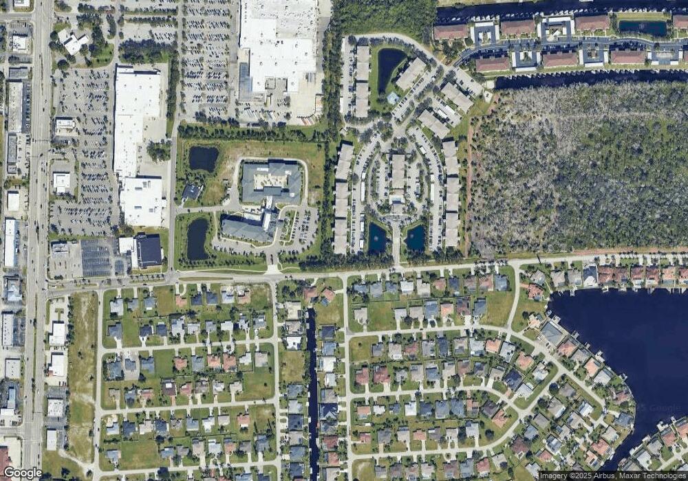
Map
Nearby Homes
- 1814 Four Mile Cove Pkwy
- 1763 Four Mile Cove Pkwy Unit 611
- 1773 Four Mile Cove Pkwy Unit 1123
- 1705 SE 19th Ln
- 1769 Four Mile Cove Pkwy Unit 915
- 1769 Four Mile Cove Pkwy Unit 911
- 1822 SE 20th St
- 1783 Four Mile Cove Pkwy Unit 221
- 1781 Four Mile Cove Pkwy Unit 121
- 1781 Four Mile Cove Pkwy Unit 111
- 2017 SE 17th Place
- 1630 SE 20th St
- 1787 Four Mile Cove Pkwy Unit 431
- 1622 SE 20th St
- 1944 Four Mile Cove Pkwy
- 1804 Coral Point Dr Unit 32
- 1791 Four Mile Cove Pkwy Unit 624
- 1791 Four Mile Cove Pkwy Unit 612
- 1791 Four Mile Cove Pkwy Unit 625
- 1791 Four Mile Cove Pkwy Unit 644
- 1753 Four Mile Cove Pkwy Unit 120
- 1753 Four Mile Cove Pkwy Unit 117
- 1753 Four Mile Cove Pkwy Unit 112
- 1753 Four Mile Cove Pkwy Unit 132
- 1753 Four Mile Cove Pkwy Unit 110
- 1753 Four Mile Cove Pkwy Unit 126
- 1753 4 Mile CV Pkwy Unit 110
- 1753 4 Mile CV Pkwy Unit 125
- 1753 4 Mile CV Pkwy Unit 132
- 1753 4 Mile CV Pkwy Unit 112
- 1753 4 Mile CV Pkwy Unit 137
- 1753 4 Mile CV Pkwy Unit 136
- 1753 4 Mile CV Pkwy Unit 135
- 1753 4 Mile CV Pkwy Unit 134
- 1753 4 Mile CV Pkwy Unit 133
- 1753 4 Mile CV Pkwy Unit 131
- 1753 4 Mile CV Pkwy Unit 130
- 1753 4 Mile CV Pkwy Unit 127
- 1753 4 Mile CV Pkwy Unit 111
- 1753 4 Mile CV Pkwy Unit 124