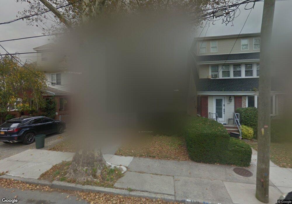
1753 Kimball St Brooklyn, NY 11234
Marine Park NeighborhoodEstimated Value: $870,918 - $920,000
--
Bed
--
Bath
1,504
Sq Ft
$591/Sq Ft
Est. Value
About This Home
This home is located at 1753 Kimball St, Brooklyn, NY 11234 and is currently estimated at $889,480, approximately $591 per square foot. 1753 Kimball St is a home located in Kings County with nearby schools including Ps 207 Elizabeth G Leary, J.H.S. 278 Marine Park, and James Madison High School.
Ownership History
Date
Name
Owned For
Owner Type
Purchase Details
Closed on
Jul 10, 2023
Sold by
Ducato Linda
Bought by
Stroh Pessi and Stroh Pincus
Current Estimated Value
Home Financials for this Owner
Home Financials are based on the most recent Mortgage that was taken out on this home.
Original Mortgage
$620,000
Outstanding Balance
$605,210
Interest Rate
6.79%
Mortgage Type
Purchase Money Mortgage
Estimated Equity
$284,270
Purchase Details
Closed on
Jun 15, 2004
Sold by
Gerardi Ann C
Bought by
Ducato Linda A
Create a Home Valuation Report for This Property
The Home Valuation Report is an in-depth analysis detailing your home's value as well as a comparison with similar homes in the area
Home Values in the Area
Average Home Value in this Area
Purchase History
| Date | Buyer | Sale Price | Title Company |
|---|---|---|---|
| Stroh Pessi | $775,000 | -- | |
| Stroh Pessi | $775,000 | -- | |
| Ducato Linda A | -- | -- | |
| Ducato Linda A | -- | -- |
Source: Public Records
Mortgage History
| Date | Status | Borrower | Loan Amount |
|---|---|---|---|
| Open | Stroh Pessi | $620,000 | |
| Closed | Stroh Pessi | $620,000 |
Source: Public Records
Tax History Compared to Growth
Tax History
| Year | Tax Paid | Tax Assessment Tax Assessment Total Assessment is a certain percentage of the fair market value that is determined by local assessors to be the total taxable value of land and additions on the property. | Land | Improvement |
|---|---|---|---|---|
| 2025 | $7,340 | $57,360 | $16,140 | $41,220 |
| 2024 | $7,340 | $54,840 | $16,140 | $38,700 |
| 2023 | $7,072 | $57,120 | $16,800 | $40,320 |
| 2022 | $4,952 | $46,740 | $16,800 | $29,940 |
| 2021 | $5,256 | $49,080 | $16,800 | $32,280 |
| 2020 | $2,887 | $46,680 | $16,800 | $29,880 |
| 2019 | $4,666 | $51,600 | $16,800 | $34,800 |
| 2018 | $4,237 | $29,020 | $10,848 | $18,172 |
| 2017 | $4,552 | $27,588 | $11,083 | $16,505 |
| 2016 | $4,471 | $27,588 | $11,939 | $15,649 |
| 2015 | $2,452 | $26,896 | $13,448 | $13,448 |
| 2014 | $2,452 | $25,380 | $11,039 | $14,341 |
Source: Public Records
Map
Nearby Homes
- 1723 Kimball St
- 1773 Coleman St
- 3816 Avenue R
- 1715 Hendrickson St
- 1836 Coleman St
- 1752 E 38th St
- 1668 Hendrickson St
- 1733 E 37th St
- 1674 E 38th St
- 1750 E 37th St
- 3707 Quentin Rd
- 3620 Quentin Rd
- 3620 Avenue R
- 1711 E 36th St
- 3617 Quentin Rd
- 1827 E 36th St
- 3920 Avenue P
- 1827 E 48th St
- 1848 E 49th St
- 1874 E 37th St
- 1757 Kimball St
- 1749 Kimball St
- 1761 Kimball St
- 1743 Kimball St
- 1752 Coleman St
- 1739 Kimball St
- 1756 Coleman St
- 1750 Coleman St
- 1765 Kimball St
- 1758 Coleman St
- 1746 Coleman St
- 1762 Coleman St
- 1744 Coleman St
- 1769 Kimball St
- 1735 Kimball St
- 1768 Coleman St
- 1742 Coleman St
- 1771 Kimball St
- 1750 Kimball St
- 1754 Kimball St