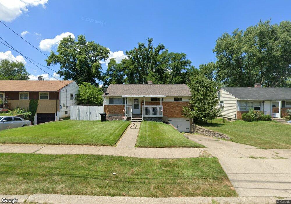
1753 Patrick Dr Cincinnati, OH 45204
East Price Hill NeighborhoodEstimated Value: $109,000 - $140,000
3
Beds
1
Bath
925
Sq Ft
$131/Sq Ft
Est. Value
About This Home
This home is located at 1753 Patrick Dr, Cincinnati, OH 45204 and is currently estimated at $121,355, approximately $131 per square foot. 1753 Patrick Dr is a home located in Hamilton County with nearby schools including Robert A. Taft Information Technology High School, Gilbert A. Dater High School, and Western Hills High School.
Ownership History
Date
Name
Owned For
Owner Type
Purchase Details
Closed on
May 30, 2002
Sold by
Schmidt Edward R and Schmidt Kevin C
Bought by
Schmidt Kevin C
Current Estimated Value
Purchase Details
Closed on
Mar 26, 2002
Sold by
Schmidt Edward R
Bought by
Schmidt Edward R and Schmidt Kevin C
Purchase Details
Closed on
Sep 20, 1999
Sold by
Estate Of Helen M Schmidt
Bought by
Schmidt Edward R
Create a Home Valuation Report for This Property
The Home Valuation Report is an in-depth analysis detailing your home's value as well as a comparison with similar homes in the area
Home Values in the Area
Average Home Value in this Area
Purchase History
| Date | Buyer | Sale Price | Title Company |
|---|---|---|---|
| Schmidt Kevin C | -- | -- | |
| Schmidt Edward R | -- | -- | |
| Schmidt Edward R | -- | -- |
Source: Public Records
Tax History
| Year | Tax Paid | Tax Assessment Tax Assessment Total Assessment is a certain percentage of the fair market value that is determined by local assessors to be the total taxable value of land and additions on the property. | Land | Improvement |
|---|---|---|---|---|
| 2025 | $1,711 | $27,556 | $3,388 | $24,168 |
| 2024 | $1,659 | $27,556 | $3,388 | $24,168 |
| 2023 | $1,696 | $27,556 | $3,388 | $24,168 |
| 2022 | $1,164 | $16,881 | $2,972 | $13,909 |
| 2021 | $1,116 | $16,881 | $2,972 | $13,909 |
| 2020 | $1,148 | $16,881 | $2,972 | $13,909 |
| 2019 | $1,142 | $15,348 | $2,702 | $12,646 |
| 2018 | $1,143 | $15,348 | $2,702 | $12,646 |
| 2017 | $1,086 | $15,348 | $2,702 | $12,646 |
| 2016 | $1,298 | $18,120 | $3,031 | $15,089 |
| 2015 | $1,171 | $18,120 | $3,031 | $15,089 |
| 2014 | $1,179 | $18,120 | $3,031 | $15,089 |
| 2013 | $1,236 | $18,680 | $3,126 | $15,554 |
Source: Public Records
Map
Nearby Homes
- 1741 Grand Ave
- 1934 Grand Ave
- 2245 Quebec Rd
- 2832 Claypole Ave
- 1114 Wing St
- 3320 Glenway Ave
- 3321 Glenway Ave
- 2829 Glenway Ave
- 1781 Westwood Ave
- 1769 Westwood Ave
- 2182 Grand Ave
- 1724 Esmonde St
- 1812 Quebec Rd
- 2173 Clara St
- 2169 Clara St
- 2165 Clara St
- 2281 Northside Ave
- 0 Clifford St Unit 1225342
- 2227 Grand Ave
- 2540 Ring Place
- 1757 Patrick Dr
- 1749 Patrick Dr
- 1745 Patrick Dr
- 1763 Patrick Dr
- 1767 Patrick Dr
- 1739 Patrick Dr
- 1752 Patrick Dr
- 1756 Patrick Dr
- 1748 Patrick Dr
- 1762 Patrick Dr
- 1744 Patrick Dr
- 1735 Patrick Dr
- 1771 Patrick Dr
- 1766 Patrick Dr
- 1738 Patrick Dr
- 1775 Patrick Dr
- 1734 Patrick Dr
- 1731 Patrick Dr
- 1770 Patrick Dr
- 1730 Patrick Dr
Your Personal Tour Guide
Ask me questions while you tour the home.