1753 S 60 W Payson, UT 84651
Estimated Value: $630,319 - $672,000
4
Beds
4
Baths
2,343
Sq Ft
$277/Sq Ft
Est. Value
About This Home
This home is located at 1753 S 60 W, Payson, UT 84651 and is currently estimated at $649,080, approximately $277 per square foot. 1753 S 60 W is a home with nearby schools including Spring Lake Elementary, Payson High School, and Payson Junior High School.
Ownership History
Date
Name
Owned For
Owner Type
Purchase Details
Closed on
Aug 3, 2015
Sold by
Salisbury Developers Inc
Bought by
Shepherd Shaun L and Shepherd Clelste K
Current Estimated Value
Home Financials for this Owner
Home Financials are based on the most recent Mortgage that was taken out on this home.
Original Mortgage
$277,863
Outstanding Balance
$208,571
Interest Rate
2.75%
Mortgage Type
FHA
Estimated Equity
$440,509
Purchase Details
Closed on
Apr 23, 2015
Sold by
The Creeg Merrill Jacobson Family Ltd Pa
Bought by
Salisbury Developers Inc
Home Financials for this Owner
Home Financials are based on the most recent Mortgage that was taken out on this home.
Original Mortgage
$180,000
Interest Rate
3.8%
Mortgage Type
Construction
Create a Home Valuation Report for This Property
The Home Valuation Report is an in-depth analysis detailing your home's value as well as a comparison with similar homes in the area
Home Values in the Area
Average Home Value in this Area
Purchase History
| Date | Buyer | Sale Price | Title Company |
|---|---|---|---|
| Shepherd Shaun L | -- | Affiliated First Title Co | |
| Salisbury Developers Inc | -- | Provo Land Title Co |
Source: Public Records
Mortgage History
| Date | Status | Borrower | Loan Amount |
|---|---|---|---|
| Open | Shepherd Shaun L | $277,863 | |
| Previous Owner | Salisbury Developers Inc | $180,000 |
Source: Public Records
Tax History Compared to Growth
Tax History
| Year | Tax Paid | Tax Assessment Tax Assessment Total Assessment is a certain percentage of the fair market value that is determined by local assessors to be the total taxable value of land and additions on the property. | Land | Improvement |
|---|---|---|---|---|
| 2025 | $3,003 | $337,315 | $166,600 | $446,700 |
| 2024 | $3,003 | $305,580 | $0 | $0 |
| 2023 | $3,038 | $310,035 | $0 | $0 |
| 2022 | $3,075 | $308,605 | $0 | $0 |
| 2021 | $2,614 | $420,800 | $109,300 | $311,500 |
| 2020 | $2,483 | $391,100 | $99,400 | $291,700 |
| 2019 | $2,122 | $342,600 | $82,300 | $260,300 |
| 2018 | $1,969 | $306,500 | $72,000 | $234,500 |
| 2017 | $1,768 | $147,950 | $0 | $0 |
| 2016 | $1,669 | $138,820 | $0 | $0 |
| 2015 | $622 | $51,400 | $0 | $0 |
Source: Public Records
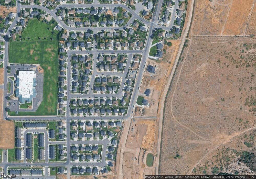
Map
Nearby Homes
- 44 W 1690 S Unit 109
- 211 W 1800 S
- 32 E 1690 S
- 32 E 1690 S Unit 113
- 1632 S 240 W Unit 47
- 1652 S 240 W Unit 48
- 1825 S 410 W
- The Aurora Plan at Payson View South
- The McKenzie Plan at Payson View South
- The Elizabeth Plan at Payson View South
- The Christine Plan at Payson View South
- The Kaitlyn Plan at Payson View South
- The Autumn Plan at Payson View South
- The Avery Plan at Payson View South
- The Roosevelt Plan at Payson View South
- The Brooke Plan at Payson View South
- The Madison Plan at Payson View South
- The Brandy Plan at Payson View South
- The Evelyn Plan at Payson View South
- The Tracie Plan at Payson View South
- 1765 S 60 W Unit 32C
- 122 W 1770 S
- 115 W 1770 S
- 113 W 1730 S Unit 29B
- 137 W 1770 S
- 184 1770 S
- 184 W 1770 S Unit MARTIN
- 184 W 1770 S
- 165 W 1730 S Unit 28
- 165 W 1730 S Unit HALEY
- 165 W 1730 S
- 118 W 1800 S
- 118 W 1800 S Unit 46
- 191 W 1770 S Unit NEBO
- 1726 S 60 W Unit ESSEX
- 1726 S 60 W
- 1725 S 60 W
- 150 W 1800 S
- 226 W 1770 S Unit AUBREY
- 203 W 1730 S Unit 27