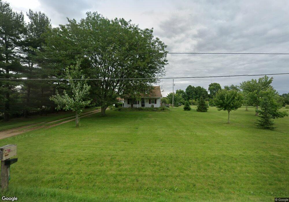
1753 S Delaney Rd Owosso, MI 48867
Estimated Value: $116,098 - $155,000
--
Bed
--
Bath
--
Sq Ft
2.54
Acres
About This Home
This home is located at 1753 S Delaney Rd, Owosso, MI 48867 and is currently estimated at $140,775. 1753 S Delaney Rd is a home located in Shiawassee County with nearby schools including Owosso High School, Salem Lutheran School, and Owosso Christian School.
Ownership History
Date
Name
Owned For
Owner Type
Purchase Details
Closed on
Mar 19, 2021
Sold by
Lorenz Frank O and Lorenz Frank O
Bought by
Scanlon Bruce and Scanlon Sandra
Current Estimated Value
Purchase Details
Closed on
Mar 28, 2012
Sold by
And Urban Dev Secertary Of Housing
Bought by
Blacker Joshua
Purchase Details
Closed on
Mar 23, 2012
Sold by
And Urban Dev Secertary Of Housing
Bought by
Blacker Joshua
Purchase Details
Closed on
Feb 11, 2011
Sold by
Lorenz Frank O and Lorenz Lillian
Bought by
Lorenz Lillian and Lorenz Frank O
Create a Home Valuation Report for This Property
The Home Valuation Report is an in-depth analysis detailing your home's value as well as a comparison with similar homes in the area
Home Values in the Area
Average Home Value in this Area
Purchase History
| Date | Buyer | Sale Price | Title Company |
|---|---|---|---|
| Scanlon Bruce | $70,000 | None Available | |
| Scanlon Bruce | $70,000 | None Listed On Document | |
| Blacker Joshua | -- | -- | |
| Blacker Joshua | -- | -- | |
| Lorenz Lillian | -- | -- |
Source: Public Records
Tax History Compared to Growth
Tax History
| Year | Tax Paid | Tax Assessment Tax Assessment Total Assessment is a certain percentage of the fair market value that is determined by local assessors to be the total taxable value of land and additions on the property. | Land | Improvement |
|---|---|---|---|---|
| 2025 | $1,014 | $49,600 | $0 | $0 |
| 2024 | $1,032 | $47,300 | $0 | $0 |
| 2023 | $358 | $45,200 | $0 | $0 |
| 2022 | $341 | $41,500 | $0 | $0 |
| 2021 | $888 | $34,900 | $0 | $0 |
| 2020 | $887 | $32,300 | $0 | $0 |
| 2019 | $871 | $30,500 | $0 | $0 |
| 2018 | $880 | $30,100 | $0 | $0 |
| 2017 | $717 | $29,200 | $0 | $0 |
| 2016 | $307 | $29,200 | $0 | $0 |
| 2015 | $307 | $27,900 | $0 | $0 |
| 2014 | $2 | $25,800 | $0 | $0 |
Source: Public Records
Map
Nearby Homes
- 539 W Wildwood Dr
- 1627 Michigan 52
- 1560 S M 52
- 1510 S Chipman St
- 2419 S Morrice Rd
- V/L W South St
- 1610 W South St
- 2560 S Morrice Rd
- 1701 W Stewart St
- 717 Nafus St
- 1434 S Pearce St
- 1318 W Stewart St
- 1300 S Pearce St
- Vacant Ash St
- 1046 S Pearce St
- 810 Grace St
- 411 Robbins St
- 821 Fletcher St
- 606 Ryan St
- 309 State St
- 1825 S Delaney Rd
- 1754 S Delaney Rd
- 1750 S Delaney Rd
- 1940 W Dewey Rd
- 1830 W Dewey Rd
- 1830 W Dewey Rd
- 2019 S Delaney Rd
- 1900 W Dewey Rd
- 1900 W Dewey Rd
- 1923 S Delaney Rd
- 1840 W Dewey Rd
- 1945 W Dewey Rd
- 1905 W Dewey Rd
- 1745 S Delaney Rd
- 1820 W Dewey Rd
- 1800 W Dewey Rd
- 1800 W Dewey Rd
- 1484 S Delaney Rd
- 2105 S Delaney Rd
- 1407 S Delaney Rd