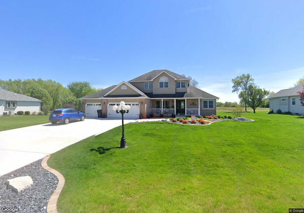
1753 W 134th Ct Crown Point, IN 46307
Estimated Value: $518,145 - $600,000
4
Beds
3
Baths
2,675
Sq Ft
$213/Sq Ft
Est. Value
About This Home
This home is located at 1753 W 134th Ct, Crown Point, IN 46307 and is currently estimated at $570,036, approximately $213 per square foot. 1753 W 134th Ct is a home located in Lake County with nearby schools including Douglas MacArthur Elementary School, Robert Taft Middle School, and Crown Point High School.
Ownership History
Date
Name
Owned For
Owner Type
Purchase Details
Closed on
Feb 13, 2019
Sold by
Reynolds Patrick and Spudic Ruth A
Bought by
Spudic Ruthann
Current Estimated Value
Home Financials for this Owner
Home Financials are based on the most recent Mortgage that was taken out on this home.
Original Mortgage
$172,500
Interest Rate
4.4%
Mortgage Type
New Conventional
Create a Home Valuation Report for This Property
The Home Valuation Report is an in-depth analysis detailing your home's value as well as a comparison with similar homes in the area
Home Values in the Area
Average Home Value in this Area
Purchase History
| Date | Buyer | Sale Price | Title Company |
|---|---|---|---|
| Spudic Ruthann | -- | Meridian Title Corp |
Source: Public Records
Mortgage History
| Date | Status | Borrower | Loan Amount |
|---|---|---|---|
| Closed | Spudic Ruthann | $172,500 |
Source: Public Records
Tax History Compared to Growth
Tax History
| Year | Tax Paid | Tax Assessment Tax Assessment Total Assessment is a certain percentage of the fair market value that is determined by local assessors to be the total taxable value of land and additions on the property. | Land | Improvement |
|---|---|---|---|---|
| 2024 | $9,189 | $461,700 | $64,300 | $397,400 |
| 2023 | $4,175 | $432,400 | $64,300 | $368,100 |
| 2022 | $4,572 | $421,100 | $64,300 | $356,800 |
| 2021 | $4,355 | $420,400 | $50,500 | $369,900 |
| 2020 | $4,357 | $400,700 | $50,500 | $350,200 |
| 2019 | $4,149 | $383,400 | $50,500 | $332,900 |
| 2018 | $4,196 | $368,500 | $50,500 | $318,000 |
| 2017 | $4,328 | $374,600 | $50,500 | $324,100 |
| 2016 | $4,151 | $359,100 | $50,500 | $308,600 |
| 2014 | $3,956 | $360,900 | $50,500 | $310,400 |
| 2013 | $3,928 | $358,700 | $50,500 | $308,200 |
Source: Public Records
Map
Nearby Homes
- 1790 W 134th Ct
- 13192 Hayes St
- 2800 W 133rd Ave
- 13111 Taft St
- 13085 Taft St
- 12938 Hayes St
- 12819 Grant St
- 253 W 129th Ave Unit 1
- 2439 W 127th Ave
- 2725 W 127th Ln
- 12768 Ellsworth Place
- 3315 W 138th Ln
- 253 Nomo Place
- 283 Nomo Place
- 809 W 126th Ct
- 3721 W 133rd Ave
- The Ganby Plan at Sawgrass
- The Monarch Plan at Sawgrass
- The Keystone Plan at Sawgrass
- The Breckenridge Plan at Sawgrass
- 1789 W 134th Ct
- 1717 W 134th Ct
- 1835 W 134th Ct
- 1754 W 134th Ct
- 1679 W 134th Ct
- 1718 W 134th Ct
- 1637 W 134th Ct
- 1680 W 134th Ct
- 1885 W 134th Ct
- 1892 W 134th Ct
- 1852 W 134th Ct
- 1638 W 134th Ct
- 13395 Hayes Ct
- 13379 Hayes Ct
- 13411 Grant St
- 13387 Hayes Ct
- 13407 Grant St
- 13365 Hayes Ct
- 13398 Hayes Ct
- 13353 Hayes Ct