Estimated Value: $182,000 - $276,000
3
Beds
2
Baths
1,777
Sq Ft
$119/Sq Ft
Est. Value
About This Home
This home is located at 17531 Airport Rd, Amite, LA 70422 and is currently estimated at $210,841, approximately $118 per square foot. 17531 Airport Rd is a home located in Tangipahoa Parish with nearby schools including Amite Elementary Magnet School, Amite Westside Middle Magnet, and Amite High Magnet.
Ownership History
Date
Name
Owned For
Owner Type
Purchase Details
Closed on
Jan 11, 2010
Sold by
Jones Ernest and Jones Margaret B
Bought by
Ramus Henry Lee Dee and Ramus Charlotte Ann Vest De
Current Estimated Value
Home Financials for this Owner
Home Financials are based on the most recent Mortgage that was taken out on this home.
Original Mortgage
$164,000
Outstanding Balance
$106,585
Interest Rate
4.83%
Mortgage Type
New Conventional
Estimated Equity
$104,256
Create a Home Valuation Report for This Property
The Home Valuation Report is an in-depth analysis detailing your home's value as well as a comparison with similar homes in the area
Home Values in the Area
Average Home Value in this Area
Purchase History
| Date | Buyer | Sale Price | Title Company |
|---|---|---|---|
| Ramus Henry Lee Dee | $205,000 | Gulf Coast Title Inc |
Source: Public Records
Mortgage History
| Date | Status | Borrower | Loan Amount |
|---|---|---|---|
| Open | Ramus Henry Lee Dee | $164,000 |
Source: Public Records
Tax History Compared to Growth
Tax History
| Year | Tax Paid | Tax Assessment Tax Assessment Total Assessment is a certain percentage of the fair market value that is determined by local assessors to be the total taxable value of land and additions on the property. | Land | Improvement |
|---|---|---|---|---|
| 2024 | $946 | $12,333 | $1,728 | $10,605 |
| 2023 | $990 | $12,836 | $1,608 | $11,228 |
| 2022 | $990 | $12,836 | $1,608 | $11,228 |
| 2021 | $391 | $12,836 | $1,608 | $11,228 |
| 2020 | $926 | $12,836 | $1,608 | $11,228 |
| 2019 | $926 | $12,836 | $1,608 | $11,228 |
| 2018 | $926 | $12,836 | $1,608 | $11,228 |
| 2017 | $926 | $12,836 | $1,608 | $11,228 |
| 2016 | $926 | $12,836 | $1,608 | $11,228 |
| 2015 | $386 | $12,836 | $1,608 | $11,228 |
| 2014 | $385 | $12,836 | $1,608 | $11,228 |
Source: Public Records
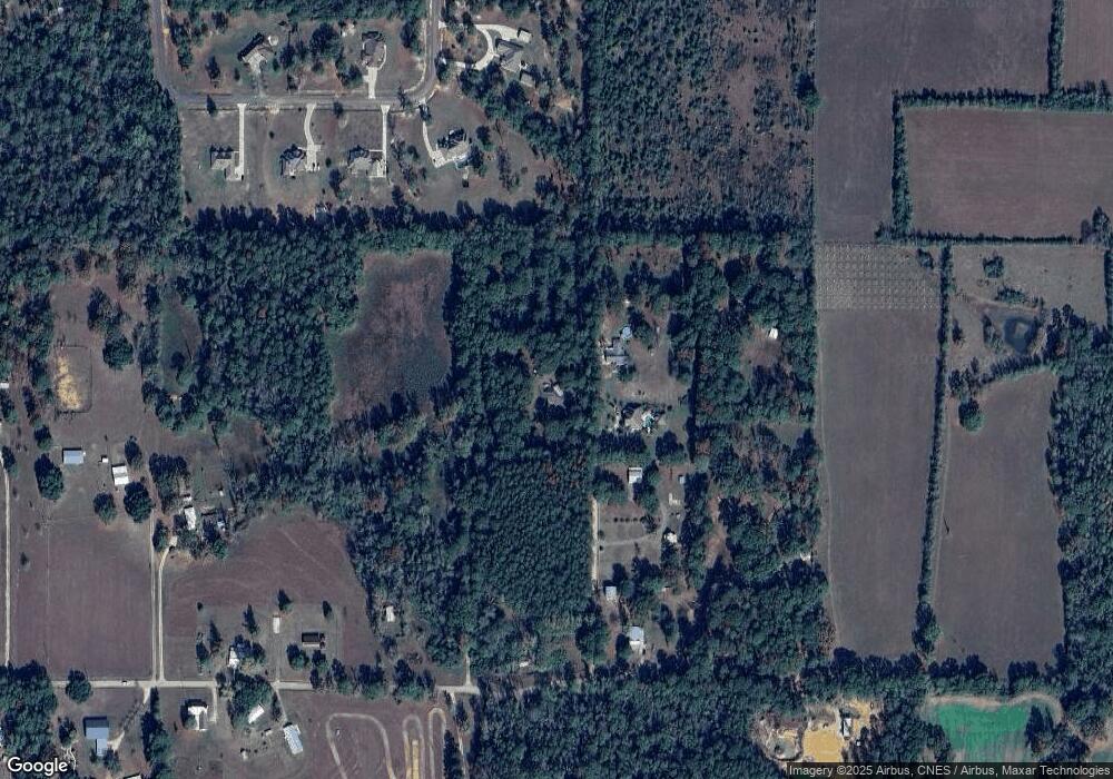
Map
Nearby Homes
- 17317 Airport Rd
- 61083 Doe Run Dr
- 0 Lot B - Vining Rd
- 61180 Doe Run Dr
- 17049 Eastwood Dr
- 60222 N Bell Rd
- 2.431 Acres Highway 16 None
- 2.431 Acres Highway 16
- 62283 Chappepeela Ridge Rd
- 0 Miller Ln
- 62057 Louisiana 1054
- 18065 Back Ridge Rd
- 60388 Louisiana 1054
- 17279 E Bell Rd
- 16259 Quail Trail Rd
- 0 Louisiana 1054
- 60362 L and L Ln
- 60360 L & L Ln
- 60360 L&l Ln
- 60360 L and L Ln
- 17551 Airport Rd
- 17755 Airport Rd
- 17551 Rising Fawn Rd
- 17583 Airport Rd
- 17466 Airport Rd
- 27 Mixon Rd
- 17599 Airport Rd
- 17535 Rising Fawn Rd
- 17589 Rising Fawn Rd
- 17491 Airport Rd
- 17441 Airport Rd
- 17536 Rising Fawn Rd
- 17461 Airport Dr
- 17461 Airport Rd
- 17607 Rising Fawn Rd
- 17515 Rising Fawn Rd