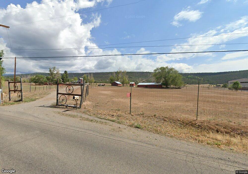
17532 Surface Creek Rd Cedaredge, CO 81413
Estimated Value: $356,413 - $506,000
2
Beds
2
Baths
1,588
Sq Ft
$269/Sq Ft
Est. Value
About This Home
This home is located at 17532 Surface Creek Rd, Cedaredge, CO 81413 and is currently estimated at $426,853, approximately $268 per square foot. 17532 Surface Creek Rd is a home located in Delta County with nearby schools including Cedaredge Elementary School, Cedaredge Middle School, and Cedaredge High School.
Ownership History
Date
Name
Owned For
Owner Type
Purchase Details
Closed on
Jun 4, 2010
Sold by
Hirsch Jeff and Hirsch Susie
Bought by
Harlan Dennis W and Harlan Valerie A
Current Estimated Value
Home Financials for this Owner
Home Financials are based on the most recent Mortgage that was taken out on this home.
Original Mortgage
$167,741
Outstanding Balance
$113,953
Interest Rate
5.25%
Mortgage Type
FHA
Estimated Equity
$312,900
Purchase Details
Closed on
Dec 21, 2009
Sold by
Game Michael A and Crumley Bruce
Bought by
Hirsch Jeff and Hirsch Suse
Purchase Details
Closed on
May 20, 2009
Sold by
Game Michaela A
Bought by
Game Michaela A and Crumley Bruce
Home Financials for this Owner
Home Financials are based on the most recent Mortgage that was taken out on this home.
Original Mortgage
$220,000
Interest Rate
4.84%
Mortgage Type
New Conventional
Create a Home Valuation Report for This Property
The Home Valuation Report is an in-depth analysis detailing your home's value as well as a comparison with similar homes in the area
Purchase History
| Date | Buyer | Sale Price | Title Company |
|---|---|---|---|
| Harlan Dennis W | $170,000 | Heritage Title | |
| Hirsch Jeff | $289,000 | Heritage Title | |
| Game Michaela A | -- | Utc Colorado |
Source: Public Records
Mortgage History
| Date | Status | Borrower | Loan Amount |
|---|---|---|---|
| Open | Harlan Dennis W | $167,741 | |
| Previous Owner | Game Michaela A | $220,000 |
Source: Public Records
Tax History
| Year | Tax Paid | Tax Assessment Tax Assessment Total Assessment is a certain percentage of the fair market value that is determined by local assessors to be the total taxable value of land and additions on the property. | Land | Improvement |
|---|---|---|---|---|
| 2024 | $285 | $6,963 | $1,556 | $5,407 |
| 2023 | $285 | $6,963 | $1,556 | $5,407 |
| 2022 | $329 | $8,959 | $1,500 | $7,459 |
| 2021 | $338 | $9,355 | $1,647 | $7,708 |
| 2020 | $470 | $7,902 | $1,540 | $6,362 |
| 2019 | $471 | $7,902 | $1,540 | $6,362 |
| 2018 | $469 | $7,563 | $1,637 | $5,926 |
| 2017 | $469 | $7,563 | $1,637 | $5,926 |
| 2016 | $373 | $6,618 | $1,512 | $5,106 |
| 2014 | -- | $6,152 | $1,137 | $5,015 |
Source: Public Records
Map
Nearby Homes
- 17343 Surface Creek Rd
- 17969 Surface Creek Rd
- 794 NE Indian Camp Ave
- 17826 & 17830 Hanson Rd
- 470 NE Elder Ct
- 635 NE 2nd St
- 633 E Main St
- TBD Cactus Park Rd
- 16709 Cedar Ln
- 245 NW 3rd St
- Lot 1 2500 Rd
- 160 SE Antelope Ave
- 470 NW Cedar Ave
- 190 & 170 SW 2nd Ave Unit A, B, C
- 105 SE Buffalo Ave
- 18377 Highway 65
- Lot 23 Colorado 65
- 370 S Grand Mesa Dr
- 735 SE Pinyon St
- 740 SE Pinyon St
- 17647 Surface Creek Rd
- 17483 Surface Creek Rd
- 24207 Parkwood Ln
- 17689 Surface Creek Rd
- 24161 Parkwood Ln
- 1211 NE Indian Camp Ave
- 17411 Surface Creek Rd
- 2420 Parkwood Ln
- 0 Parkwood Ln
- 24210 Parkwood Ln
- 24095 Parkwood Ln
- 1031 NE Indian Camp Ave
- 1202 NE Indian Camp Ave
- 24174 Parkwood Ln
- 17826 and 17830 Hanson Rd
- 1099 NE Indian Camp Ave
- 1025 NE Indian Camp Ave
- 17821 Surface Creek Rd
- 1116 NE Indian Camp Ave
- 24069 Parkwood Ln
Your Personal Tour Guide
Ask me questions while you tour the home.