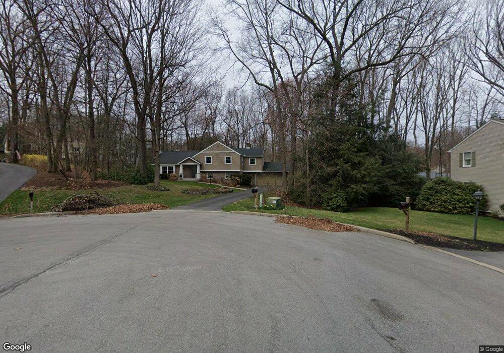
1754 High Ridge Cir State College, PA 16803
Estimated Value: $574,000 - $660,000
4
Beds
3
Baths
3,793
Sq Ft
$163/Sq Ft
Est. Value
About This Home
This home is located at 1754 High Ridge Cir, State College, PA 16803 and is currently estimated at $618,116, approximately $162 per square foot. 1754 High Ridge Cir is a home located in Centre County with nearby schools including Radio Park Elementary School, Park Forest Middle School, and State College Area High School.
Ownership History
Date
Name
Owned For
Owner Type
Purchase Details
Closed on
Jun 4, 2009
Sold by
Beresny Gerald M and Beresny Luann
Bought by
King Brian H and King Erica L
Current Estimated Value
Home Financials for this Owner
Home Financials are based on the most recent Mortgage that was taken out on this home.
Original Mortgage
$284,000
Outstanding Balance
$179,918
Interest Rate
4.82%
Mortgage Type
Purchase Money Mortgage
Estimated Equity
$438,198
Create a Home Valuation Report for This Property
The Home Valuation Report is an in-depth analysis detailing your home's value as well as a comparison with similar homes in the area
Home Values in the Area
Average Home Value in this Area
Purchase History
| Date | Buyer | Sale Price | Title Company |
|---|---|---|---|
| King Brian H | $355,000 | None Available |
Source: Public Records
Mortgage History
| Date | Status | Borrower | Loan Amount |
|---|---|---|---|
| Open | King Brian H | $284,000 |
Source: Public Records
Tax History Compared to Growth
Tax History
| Year | Tax Paid | Tax Assessment Tax Assessment Total Assessment is a certain percentage of the fair market value that is determined by local assessors to be the total taxable value of land and additions on the property. | Land | Improvement |
|---|---|---|---|---|
| 2025 | $7,877 | $127,185 | $13,990 | $113,195 |
| 2024 | $7,366 | $127,185 | $13,990 | $113,195 |
| 2023 | $7,366 | $127,185 | $13,990 | $113,195 |
| 2022 | $7,167 | $127,185 | $13,990 | $113,195 |
| 2021 | $7,167 | $127,185 | $13,990 | $113,195 |
| 2020 | $7,167 | $127,185 | $13,990 | $113,195 |
| 2019 | $6,174 | $127,185 | $13,990 | $113,195 |
| 2018 | $6,920 | $127,185 | $13,990 | $113,195 |
| 2017 | $6,834 | $127,185 | $13,990 | $113,195 |
| 2016 | -- | $127,185 | $13,990 | $113,195 |
| 2015 | -- | $127,185 | $13,990 | $113,195 |
| 2014 | -- | $127,185 | $13,990 | $113,195 |
Source: Public Records
Map
Nearby Homes
- 690 Wiltshire Dr
- 1635 Princeton Dr
- 1765 Cambridge Dr
- 656 Severn Dr
- 1952 Highland Dr
- 1111-C W Aaron Dr
- 291 Oakley Dr
- 479 Westgate Dr
- 2292 Oak Leaf Dr
- 169 Sandy Ridge Rd
- 1918 Weaver St Unit 1
- 1832 Waddle Rd
- 835 Galen Dr Unit 835
- 833 Galen Dr
- 1836 Waddle Rd
- 253 Bolton Ave
- 1321 Deerfield Dr
- 1457 Curtin St
- 505 Hillcrest Ave
- 465 Hillcrest Ave
- 1752 High Ridge Cir
- 605 Berkshire Dr
- 603 Berkshire Dr
- 1756 High Ridge Cir
- 607 Berkshire Dr
- 601 Berkshire Dr
- 609 Berkshire Dr
- 660 Devonshire Dr
- 628 Devonshire Dr
- 1750 High Ridge Cir
- 1760 High Ridge Cir
- 611 Berkshire Dr
- 664 Devonshire Dr
- 1738 Princeton Dr
- 606 Berkshire Dr
- 604 Berkshire Dr
- 602 Berkshire Dr
- 1762 Princeton Dr
- 613 Berkshire Dr
- 610 Berkshire Dr