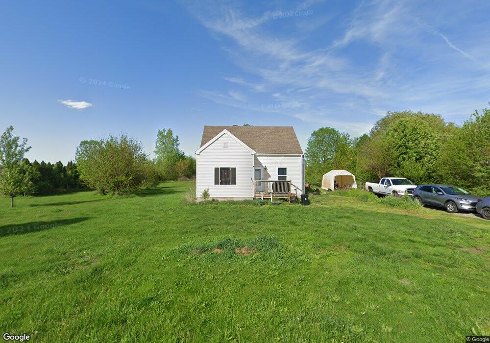
1754 Lennex Ln Millbury, OH 43447
Estimated Value: $146,000 - $192,000
3
Beds
1
Bath
1,165
Sq Ft
$137/Sq Ft
Est. Value
About This Home
This home is located at 1754 Lennex Ln, Millbury, OH 43447 and is currently estimated at $159,726, approximately $137 per square foot. 1754 Lennex Ln is a home located in Wood County with nearby schools including Lake Elementary School, Lake Middle School, and Lake High School.
Ownership History
Date
Name
Owned For
Owner Type
Purchase Details
Closed on
Aug 25, 2006
Sold by
Smotherman Scott and Smotherman Patricia M
Bought by
Petersen Thomas E
Current Estimated Value
Home Financials for this Owner
Home Financials are based on the most recent Mortgage that was taken out on this home.
Original Mortgage
$84,000
Outstanding Balance
$50,747
Interest Rate
6.78%
Mortgage Type
Purchase Money Mortgage
Estimated Equity
$108,979
Purchase Details
Closed on
Aug 19, 1991
Bought by
Heck Patrick M
Create a Home Valuation Report for This Property
The Home Valuation Report is an in-depth analysis detailing your home's value as well as a comparison with similar homes in the area
Home Values in the Area
Average Home Value in this Area
Purchase History
| Date | Buyer | Sale Price | Title Company |
|---|---|---|---|
| Petersen Thomas E | $105,000 | American Title Agency | |
| Heck Patrick M | $57,500 | -- |
Source: Public Records
Mortgage History
| Date | Status | Borrower | Loan Amount |
|---|---|---|---|
| Open | Petersen Thomas E | $84,000 |
Source: Public Records
Tax History Compared to Growth
Tax History
| Year | Tax Paid | Tax Assessment Tax Assessment Total Assessment is a certain percentage of the fair market value that is determined by local assessors to be the total taxable value of land and additions on the property. | Land | Improvement |
|---|---|---|---|---|
| 2024 | $1,528 | $33,390 | $4,725 | $28,665 |
| 2023 | $1,528 | $33,400 | $4,730 | $28,670 |
| 2021 | $1,390 | $25,800 | $3,780 | $22,020 |
| 2020 | $1,337 | $25,800 | $3,780 | $22,020 |
| 2019 | $1,391 | $24,750 | $3,780 | $20,970 |
| 2018 | $1,389 | $24,750 | $3,780 | $20,970 |
| 2017 | $1,254 | $24,750 | $3,780 | $20,970 |
| 2016 | $1,097 | $20,060 | $3,780 | $16,280 |
| 2015 | $1,097 | $20,060 | $3,780 | $16,280 |
| 2014 | $1,157 | $20,060 | $3,780 | $16,280 |
| 2013 | $1,210 | $20,060 | $3,780 | $16,280 |
Source: Public Records
Map
Nearby Homes
- 0 Circle Dr Unit 6133022
- 1330 Cherry St
- 29411 Mabel St
- 1350 South St
- 29453 Harriet St
- 30246 Bradner Rd
- 29987 Pemberville Rd
- 3766 Lakepointe Dr
- 1620 Owen Rd
- 3716 Lakepointe Dr Unit D
- 4777 Williston Rd
- 24181 W James Ridge Rd
- 3901 Plumey Rd
- 730 Bradner Rd
- 23430 State Route 51 W
- 2190 N Centerfield Dr
- 3601 Plumey Rd
- 0 Williston Rd
- 212 E Bridge Rd
- 211 E Bridge Rd