1754 Timothy Ct Kutztown, PA 19530
Weisenberg Township NeighborhoodEstimated Value: $436,770 - $590,000
3
Beds
2
Baths
1,368
Sq Ft
$379/Sq Ft
Est. Value
About This Home
This home is located at 1754 Timothy Ct, Kutztown, PA 19530 and is currently estimated at $518,943, approximately $379 per square foot. 1754 Timothy Ct is a home located in Lehigh County with nearby schools including Northwestern Lehigh High School.
Ownership History
Date
Name
Owned For
Owner Type
Purchase Details
Closed on
Dec 7, 2001
Sold by
Getz Mark C and Getz Angela L
Bought by
Getz Mark C and Getz Angela L
Current Estimated Value
Purchase Details
Closed on
Jul 18, 2000
Sold by
Walbert Leroy E
Bought by
Getz Mark C and Zimmerman Angela L
Purchase Details
Closed on
Jul 9, 1996
Bought by
Getz Mark C and Zimmerman Angela L
Purchase Details
Closed on
Mar 14, 1996
Bought by
Getz Mark C
Create a Home Valuation Report for This Property
The Home Valuation Report is an in-depth analysis detailing your home's value as well as a comparison with similar homes in the area
Home Values in the Area
Average Home Value in this Area
Purchase History
| Date | Buyer | Sale Price | Title Company |
|---|---|---|---|
| Getz Mark C | -- | -- | |
| Getz Mark C | $500 | -- | |
| Getz Mark C | $17,500 | -- | |
| Getz Mark C | -- | -- |
Source: Public Records
Tax History Compared to Growth
Tax History
| Year | Tax Paid | Tax Assessment Tax Assessment Total Assessment is a certain percentage of the fair market value that is determined by local assessors to be the total taxable value of land and additions on the property. | Land | Improvement |
|---|---|---|---|---|
| 2025 | $5,541 | $222,700 | $70,600 | $152,100 |
| 2024 | $5,316 | $222,700 | $70,600 | $152,100 |
| 2023 | $5,149 | $222,700 | $70,600 | $152,100 |
| 2022 | $5,014 | $222,700 | $152,100 | $70,600 |
| 2021 | $4,899 | $222,700 | $70,600 | $152,100 |
| 2020 | $4,764 | $222,700 | $70,600 | $152,100 |
| 2019 | $4,552 | $222,700 | $70,600 | $152,100 |
| 2018 | $4,490 | $222,700 | $70,600 | $152,100 |
| 2017 | $4,490 | $222,700 | $70,600 | $152,100 |
| 2016 | -- | $222,700 | $70,600 | $152,100 |
| 2015 | -- | $222,700 | $70,600 | $152,100 |
| 2014 | -- | $222,700 | $70,600 | $152,100 |
Source: Public Records
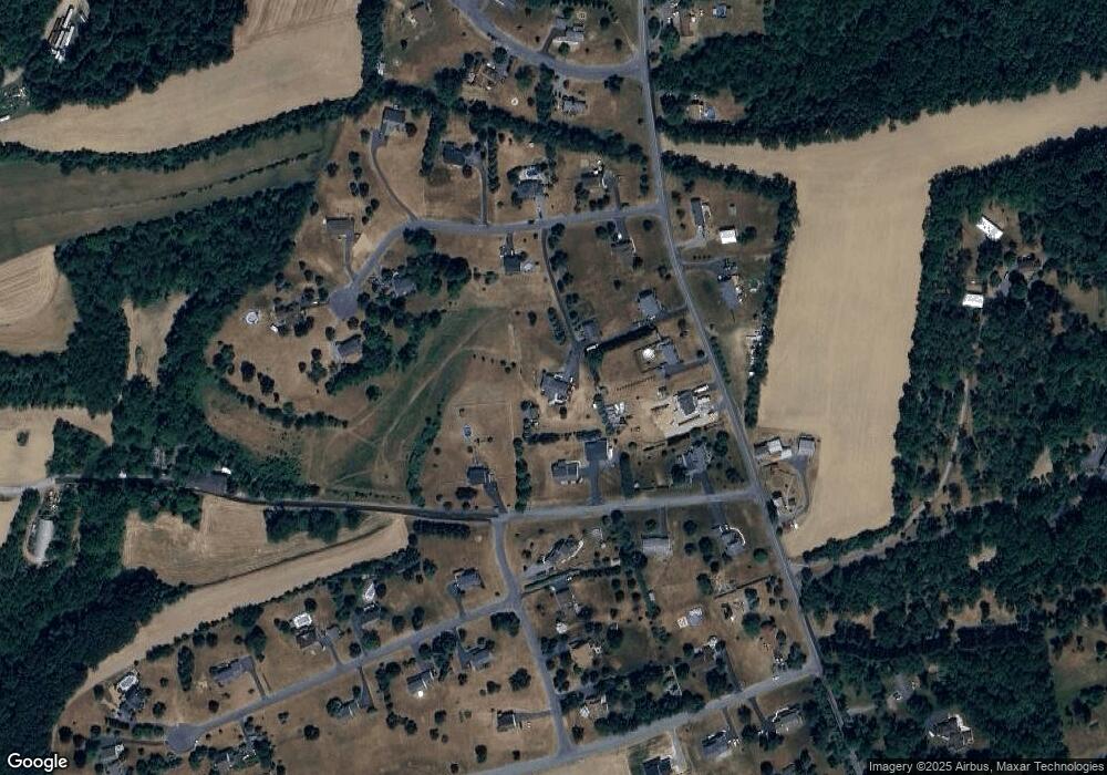
Map
Nearby Homes
- 2158 Key Ct
- 2398 Kistler Ct
- 2398 N Kistler Ct
- 1927 Kecks Rd Unit Lot 2
- 385 Albright Rd
- 10425 Old 22
- 9858 Old U S 22
- 1479 Saratoga Cir Unit Lot 13
- 0 Siegfriedale Rd
- 2042 Folk Rd
- 0 Grim Rd
- 0 Fenstermacher Rd Unit 766259
- 207 Mill Creek Rd
- 15882 E Kutztown Rd Unit A
- 15882 E Kutztown Rd
- 9032 Claussville Rd
- 235 Stump Rd
- 9002 Yorkshire Cir
- 10108 Dietrich Rd
- 8868 Yorkshire Cir
- 1738 Siegfriedale Rd
- 10215 Walbert Ct
- 1760 Timothy Ct
- 1730 Siegfriedale Rd
- 1722 Siegfriedale Rd
- 1746 Timothy Ct
- 10221 Walbert Ct
- 10227 Walbert Ct
- 10209 Walbert Ct
- 1623 Kramer Rd
- 1737 Siegfriedale Rd
- 1790 Timothy Ct
- 1753 Timothy Ct
- 1745 Timothy Ct
- 1767 Timothy Ct
- 10212 Walbert Ct
- 1631 Ashley Ct
- 1617 Kramer Rd
- 1743 Siegfriedale Rd
- 10204 Walbert Ct