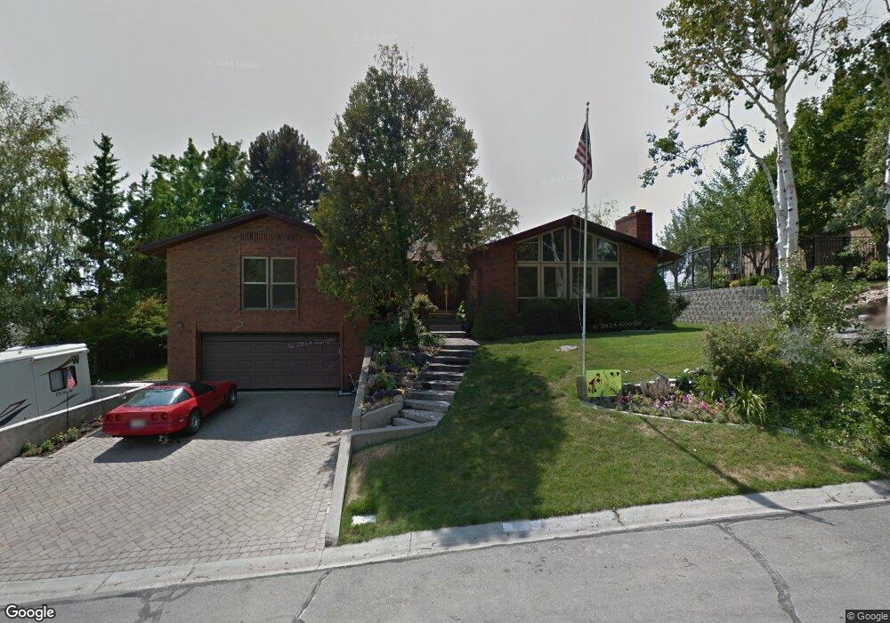
1755 Bluebird Rd Orem, UT 84097
Northridge NeighborhoodEstimated Value: $587,000 - $732,000
About This Home
This home is located at 1755 Bluebird Rd, Orem, UT 84097 and is currently estimated at $673,459, approximately $364 per square foot. 1755 Bluebird Rd is a home located in Utah County with nearby schools including Orchard Elementary School, Oak Canyon Junior High School, and Timpanogos High School.
Ownership History
We collect this data history from publicly available records. To have your information removed, we recommend requesting removal directly through your county’s website.
Purchase Details
Home Financials for this Owner
Home Financials are based on the most recent Mortgage that was taken out on this home.Purchase Details
Home Values in the Area
Average Home Value in this Area
Purchase History
We collect this data history from publicly available records. To have your information removed, we recommend requesting removal directly through your county’s website.
| Date | Buyer | Sale Price | Title Company |
|---|---|---|---|
| -- | Pro Title & Escrow Inc | ||
| -- | None Available |
Mortgage History
We collect this data history from publicly available records. To have your information removed, we recommend requesting removal directly through your county’s website.
| Date | Status | Borrower | Loan Amount |
|---|---|---|---|
| Closed | $166,500 |
Tax History
We collect this data history from publicly available records. To have your information removed, we recommend requesting removal directly through your county’s website.
| Year | Tax Paid | Tax Assessment Tax Assessment Total Assessment is a certain percentage of the fair market value that is determined by local assessors to be the total taxable value of land and additions on the property. | Land | Improvement |
|---|---|---|---|---|
| 2025 | $2,591 | $349,690 | -- | -- |
| 2024 | $2,591 | $316,855 | $0 | $0 |
| 2023 | $2,448 | $321,695 | $0 | $0 |
| 2022 | $2,571 | $327,360 | $0 | $0 |
| 2021 | $2,320 | $447,400 | $188,300 | $259,100 |
| 2020 | $2,166 | $410,500 | $163,700 | $246,800 |
| 2019 | $1,862 | $366,900 | $152,300 | $214,600 |
| 2018 | $1,948 | $366,900 | $152,300 | $214,600 |
| 2017 | $1,938 | $195,525 | $0 | $0 |
| 2016 | $1,961 | $182,435 | $0 | $0 |
| 2015 | $1,917 | $168,630 | $0 | $0 |
| 2014 | $1,727 | $151,195 | $0 | $0 |
Map
- 442 E 1730 N
- 895 E Quail Rd
- 1636 N 320 E
- 1757 N 710 E
- 695 E 1870 N
- 1480 N 430 E
- 110 S 1320 E
- 1643 N Mountain Oaks Dr
- 723 E 1450 N Unit 25
- 363 E 1395 N Unit 22
- 1062 E 100 S
- 161 E 1460 N
- 1371 N 330 E Unit 8
- 55 E 1600 N
- 713 E 1500 St N Unit 19
- 713 E 1450 N Unit 23
- 876 High Country Dr
- 1366 N 750 E
- 558 E 1265 N Unit 109
- 733 E 1450 N Unit 5
- 1771 Bluebird Rd
- 1791 Bluebird Rd
- 1760 Heather Dr
- 498 Robin Rd
- 1754 Heather Dr
- 1760 Bluebird Rd
- 1774 Heather Dr
- 1774 Heather Dr
- 487 Robin Rd
- 521 Meadowlark Rd
- 1741 Meadowlark Rd
- 474 E 1840 N
- 1788 Heather Dr
- 1732 Bluebird Rd
- 1788 N Heather Dr
- 512 Robin Rd
- 503 Robin Rd
- 1761 Heather Dr
- 1746 Heather Dr
- 1761 N Heather Dr
Ask me questions while you tour the home.