1755 Edwards Dr Point Roberts, WA 98281
Estimated Value: $1,400,000 - $1,766,803
4
Beds
4
Baths
3,499
Sq Ft
$453/Sq Ft
Est. Value
About This Home
This home is located at 1755 Edwards Dr, Point Roberts, WA 98281 and is currently estimated at $1,584,951, approximately $452 per square foot. 1755 Edwards Dr is a home located in Whatcom County with nearby schools including Point Roberts Primary School, Blaine Middle School, and Blaine High School.
Ownership History
Date
Name
Owned For
Owner Type
Purchase Details
Closed on
Jun 28, 2007
Sold by
Wainwright Ildiko Ilona
Bought by
Chung Samuel Hongmin
Current Estimated Value
Home Financials for this Owner
Home Financials are based on the most recent Mortgage that was taken out on this home.
Original Mortgage
$975,000
Outstanding Balance
$588,537
Interest Rate
6.21%
Mortgage Type
Purchase Money Mortgage
Estimated Equity
$996,414
Create a Home Valuation Report for This Property
The Home Valuation Report is an in-depth analysis detailing your home's value as well as a comparison with similar homes in the area
Home Values in the Area
Average Home Value in this Area
Purchase History
| Date | Buyer | Sale Price | Title Company |
|---|---|---|---|
| Chung Samuel Hongmin | $1,300,280 | Whatcom Land Title |
Source: Public Records
Mortgage History
| Date | Status | Borrower | Loan Amount |
|---|---|---|---|
| Open | Chung Samuel Hongmin | $975,000 |
Source: Public Records
Tax History
| Year | Tax Paid | Tax Assessment Tax Assessment Total Assessment is a certain percentage of the fair market value that is determined by local assessors to be the total taxable value of land and additions on the property. | Land | Improvement |
|---|---|---|---|---|
| 2025 | $14,616 | $1,899,640 | $1,233,532 | $666,108 |
| 2024 | $13,681 | $1,880,847 | $1,221,364 | $659,483 |
| 2023 | $13,681 | $1,769,814 | $1,110,331 | $659,483 |
| 2022 | $11,943 | $1,616,268 | $1,014,000 | $602,268 |
| 2021 | $12,825 | $1,279,355 | $844,949 | $434,406 |
| 2020 | $12,733 | $1,279,355 | $844,949 | $434,406 |
| 2019 | $11,752 | $1,227,628 | $810,786 | $416,842 |
| 2018 | $12,074 | $1,104,712 | $729,606 | $375,106 |
| 2017 | $10,357 | $1,055,032 | $696,795 | $358,237 |
| 2016 | $9,726 | $1,024,303 | $676,500 | $347,803 |
| 2015 | $10,245 | $934,947 | $605,465 | $329,482 |
| 2014 | -- | $967,737 | $626,280 | $341,457 |
| 2013 | -- | $927,076 | $601,720 | $325,356 |
Source: Public Records
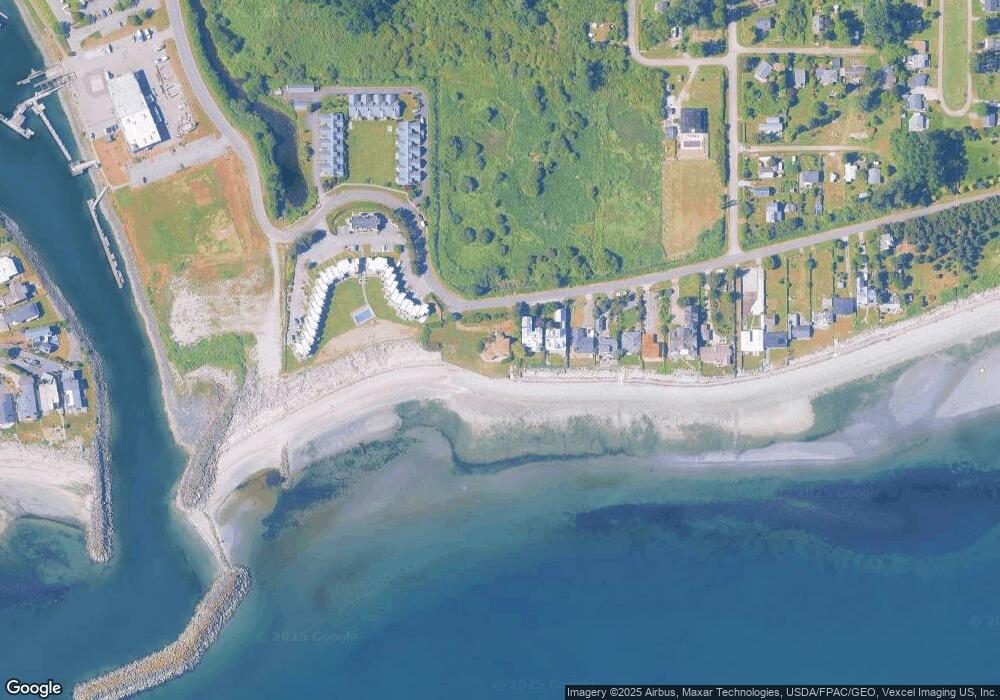
Map
Nearby Homes
- 1920 Patos Way
- 1648 Harbor Seal Dr
- 1881 Edwards Dr
- 1630 Edwards Dr
- 1587 Harbor Seal Dr
- 661 Driftwood Ln
- 1940 Apa Rd
- 721 Ocean View Ct
- 1477 Edwards Dr
- 2045 Apa Rd
- 1774 Centennial Place
- 2242 Seabright Loop
- 1438 Gulf Rd
- 1542 Columbia Vista Dr
- 2202 Seabright Loop
- 58 Seabright Loop
- 168 Tyee Dr
- 1379 Gulf Rd
- 1361 Peltier Dr
- 631 Freemans Ln
- 1765 Edwards Dr
- 1767 Edwards Dr
- 1769 Edwards Dr
- 1775 Edwards Dr
- 2 Edwards Dr
- 1777 Edwards Dr
- 1783 Edwards Dr
- 1 Edwards Dr
- 1758 Edwards Dr
- 1793 Edwards Dr
- 1728 Edwards Dr
- 1728 Edwards Dr Unit 32
- 1728 Edwards Dr Unit 31
- 1728 Edwards Dr Unit 30
- 1728 Edwards Dr Unit 29
- 1728 Edwards Dr Unit 28
- 1728 Edwards Dr Unit 27
- 1728 Edwards Dr Unit 26
- 1728 Edwards Dr Unit 25
- 1728 Edwards Dr Unit 24
Your Personal Tour Guide
Ask me questions while you tour the home.