Estimated Value: $770,000 - $1,510,810
5
Beds
4
Baths
3,586
Sq Ft
$339/Sq Ft
Est. Value
About This Home
This home is located at 1755 High Meadow N Unit 61A, Niles, MI 49120 and is currently estimated at $1,213,937, approximately $338 per square foot. 1755 High Meadow N Unit 61A is a home located in Berrien County with nearby schools including Merritt Elementary School, Brandywine Elementary School, and Lavina Junior High School.
Ownership History
Date
Name
Owned For
Owner Type
Purchase Details
Closed on
Mar 15, 2022
Sold by
Guy Brian W
Bought by
Guy Brian W and Guy Leah M
Current Estimated Value
Home Financials for this Owner
Home Financials are based on the most recent Mortgage that was taken out on this home.
Original Mortgage
$705,000
Outstanding Balance
$652,396
Interest Rate
3.11%
Mortgage Type
New Conventional
Estimated Equity
$561,541
Purchase Details
Closed on
Aug 15, 2014
Sold by
St Clair Steven and St Clair Laura
Bought by
Guy Brian W
Purchase Details
Closed on
Apr 16, 2007
Sold by
Village Contractors Inc
Bought by
St Clair Steven and St Clair Laura
Purchase Details
Closed on
Jan 26, 2006
Sold by
Stonecreek Llc
Bought by
Village Contractors Inc
Create a Home Valuation Report for This Property
The Home Valuation Report is an in-depth analysis detailing your home's value as well as a comparison with similar homes in the area
Home Values in the Area
Average Home Value in this Area
Purchase History
| Date | Buyer | Sale Price | Title Company |
|---|---|---|---|
| Guy Brian W | -- | Boston National Title | |
| Guy Brian W | $86,500 | Fidelity National Title | |
| St Clair Steven | $120,000 | Metropolitan Title In Llc | |
| Village Contractors Inc | $112,000 | None Available |
Source: Public Records
Mortgage History
| Date | Status | Borrower | Loan Amount |
|---|---|---|---|
| Open | Guy Brian W | $705,000 |
Source: Public Records
Tax History Compared to Growth
Tax History
| Year | Tax Paid | Tax Assessment Tax Assessment Total Assessment is a certain percentage of the fair market value that is determined by local assessors to be the total taxable value of land and additions on the property. | Land | Improvement |
|---|---|---|---|---|
| 2025 | $11,096 | $626,500 | $0 | $0 |
| 2024 | $5,987 | $605,000 | $0 | $0 |
| 2023 | $5,702 | $523,500 | $0 | $0 |
| 2022 | $5,431 | $440,000 | $0 | $0 |
| 2021 | $9,038 | $393,500 | $67,500 | $326,000 |
| 2020 | $9,013 | $402,100 | $0 | $0 |
| 2019 | $8,846 | $353,500 | $60,000 | $293,500 |
| 2018 | $8,689 | $353,500 | $0 | $0 |
| 2017 | $8,601 | $347,100 | $0 | $0 |
| 2016 | $9,413 | $387,200 | $0 | $0 |
| 2015 | $1,064 | $45,200 | $0 | $0 |
| 2014 | $573 | $53,200 | $0 | $0 |
Source: Public Records
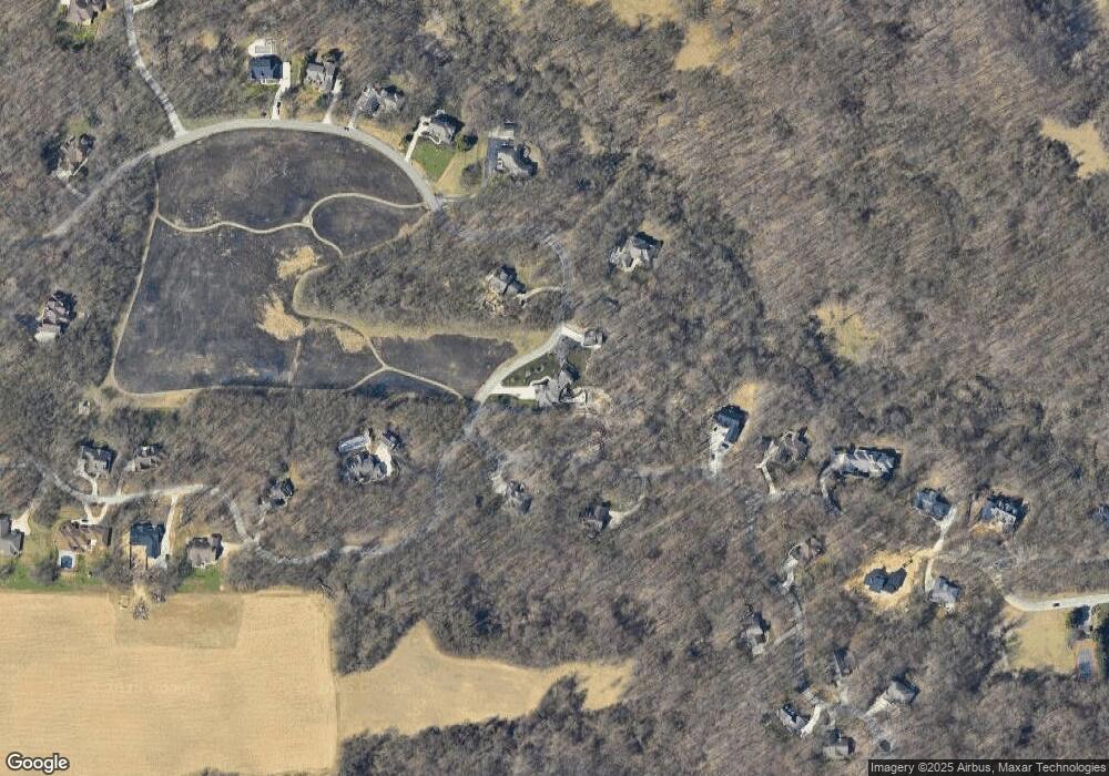
Map
Nearby Homes
- 1860 High Meadow N
- 1560 Stonecreek Dr Unit 14
- 2080 High Meadow S
- 21540 Ravenna Dr
- 22153 Northwood Hills Blvd
- Lot 4 Persimmon Dr Unit 4
- 2710 Weaver Rd
- 21380 Kroft Dr
- 21533 Golden Maple Ct
- 50931 Birch Dr Unit 1 & 2
- 50931 Birch Dr Unit 2
- 21610 Golden Maple Ct
- 1650 Whitetail Cir
- 51041 Grapevine Ct
- 1680 River Bend Blvd
- 1670 River Bend Blvd
- Lot 1 Forest Lake Trail Unit 1
- 21654 Moyer Dr Unit 69
- 21578 Moyer Dr Unit 29
- 21558 Moyer Dr Unit 30
- 1715 Stonecreek Dr
- 1720 Stonecreek Dr Unit 23
- 1760 Stonecreek Dr Unit 24
- 1860 High Meadow N
- 1835 High Meadow N
- 1835 High Meadow N Unit 59A
- 3080 Dogwood Trail
- 1800 High Meadow S
- 1675 Stonecreek Dr Unit 63
- 1800 High Meadow South S
- 1800 High Meadow South S Unit 25
- 1785 High Meadow S
- 1915 High Meadow N Unit 56A
- 1915 High Meadow N
- 3115 Dogwood Trail
- 1635 Stonecreek Dr Unit 64
- 3120 Dogwood Trail
- 1955 High Meadow N
- 1825 High Meadow S Unit 27
- 1595 Stonecreek Dr Unit 65