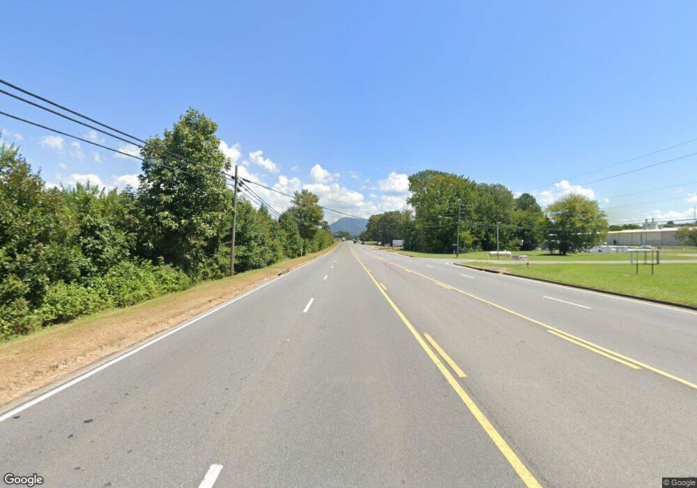
1755 Highway 52 Chatsworth, GA 30705
Estimated Value: $116,000 - $275,000
Studio
--
Bath
1,228
Sq Ft
$169/Sq Ft
Est. Value
About This Home
This home is located at 1755 Highway 52, Chatsworth, GA 30705 and is currently estimated at $206,949, approximately $168 per square foot. 1755 Highway 52 is a home with nearby schools including Chatsworth Elementary School, Gladden Middle School, and Murray County High School.
Ownership History
Date
Name
Owned For
Owner Type
Purchase Details
Closed on
Mar 30, 2017
Bought by
Battleridge Land Co Lllp
Current Estimated Value
Purchase Details
Closed on
Jan 13, 2016
Bought by
Sec Of Housing & Urban
Purchase Details
Closed on
Jan 5, 2016
Sold by
Hayes Wb
Bought by
Selene Finance Lp
Purchase Details
Closed on
Oct 15, 2007
Sold by
Hayes W B
Bought by
Brookshire Greg
Purchase Details
Closed on
Apr 28, 1993
Bought by
Hayes W B
Create a Home Valuation Report for This Property
The Home Valuation Report is an in-depth analysis detailing your home's value as well as a comparison with similar homes in the area
Home Values in the Area
Average Home Value in this Area
Purchase History
| Date | Buyer | Sale Price | Title Company |
|---|---|---|---|
| Battleridge Land Co Lllp | -- | -- | |
| Sec Of Housing & Urban | -- | -- | |
| Selene Finance Lp | $52,052 | -- | |
| Brookshire Greg | $25,000 | -- | |
| Hayes W B | $48,200 | -- |
Source: Public Records
Tax History
| Year | Tax Paid | Tax Assessment Tax Assessment Total Assessment is a certain percentage of the fair market value that is determined by local assessors to be the total taxable value of land and additions on the property. | Land | Improvement |
|---|---|---|---|---|
| 2024 | $847 | $36,028 | $2,800 | $33,228 |
| 2023 | $889 | $37,068 | $2,800 | $34,268 |
| 2022 | $772 | $32,188 | $2,680 | $29,508 |
| 2021 | $644 | $26,188 | $2,680 | $23,508 |
| 2020 | $539 | $21,908 | $2,560 | $19,348 |
| 2019 | $541 | $21,908 | $2,560 | $19,348 |
| 2018 | $541 | $21,908 | $2,560 | $19,348 |
| 2017 | $0 | $21,588 | $2,400 | $19,188 |
| 2016 | $83 | $23,524 | $5,680 | $17,844 |
| 2015 | -- | $23,524 | $5,680 | $17,844 |
| 2014 | -- | $23,524 | $5,680 | $17,844 |
| 2013 | -- | $23,524 | $5,680 | $17,844 |
Source: Public Records
Map
Nearby Homes
- 0 Highway 52 Unit 417342
- 0 Highway 52 Unit 1516971
- 0 Highway 52 Unit 10573726
- 0 Highway 52 Unit 415667
- 85 Diamond Way
- 80 Columbus Dr
- 275 Diamond Way
- 23 Brandon Ln
- 528 Magnolia Ln
- 65 Maddox Ln
- 63 Maddox Ln
- 469 Diamond Way
- 498 Wildwood Dr
- 90 Maddox Ln
- 86 Maddox Ln
- 788 Wildwood Dr
- 838 Wildwood Dr
- 305 Charles Rd
- 908 Green Rd
- 24 Maddox Ln
- 1785 Highway 52
- 1765 Highway 52 Hwy
- 1727 Highway 52
- 1723 Highway 52
- 1663 Georgia 52
- 1705 Highway 52
- 1664 Highway 52
- 1707 Highway 52
- 1808 Highway 52
- 1605 Highway 52
- 1589 Highway 52a
- 1711 Highway 52
- 1951 Highway 52
- 1529 Highway 52
- 985 Bell Loop
- 2020 Highway 52
- 2021 Highway 52a
- 2021 Highway 52a
- 2047 Highway 52a
- 2352 Highway 52a
Your Personal Tour Guide
Ask me questions while you tour the home.
