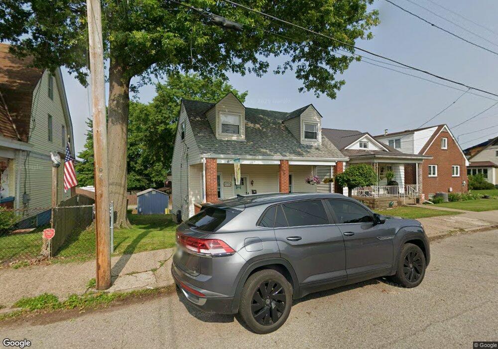
1755 Kimball Ave New Kensington, PA 15068
Estimated Value: $73,000 - $125,000
--
Bed
--
Bath
--
Sq Ft
4,704
Sq Ft Lot
About This Home
This home is located at 1755 Kimball Ave, New Kensington, PA 15068 and is currently estimated at $101,518. 1755 Kimball Ave is a home located in Westmoreland County with nearby schools including Mary Queen of Apostles School.
Ownership History
Date
Name
Owned For
Owner Type
Purchase Details
Closed on
Nov 6, 2006
Sold by
Whiteman Daniel L and Whiteman Cynthia L
Bought by
Litwicki Athena and Sypert Nathanial
Current Estimated Value
Home Financials for this Owner
Home Financials are based on the most recent Mortgage that was taken out on this home.
Original Mortgage
$53,600
Outstanding Balance
$31,883
Interest Rate
6.31%
Mortgage Type
Unknown
Estimated Equity
$69,635
Purchase Details
Closed on
Aug 26, 2004
Sold by
Dns Holdings Llc
Bought by
Allegheny Valley Habitat For Humanity
Create a Home Valuation Report for This Property
The Home Valuation Report is an in-depth analysis detailing your home's value as well as a comparison with similar homes in the area
Home Values in the Area
Average Home Value in this Area
Purchase History
| Date | Buyer | Sale Price | Title Company |
|---|---|---|---|
| Litwicki Athena | $67,000 | None Available | |
| Allegheny Valley Habitat For Humanity | $45,788 | -- |
Source: Public Records
Mortgage History
| Date | Status | Borrower | Loan Amount |
|---|---|---|---|
| Open | Litwicki Athena | $53,600 |
Source: Public Records
Tax History Compared to Growth
Tax History
| Year | Tax Paid | Tax Assessment Tax Assessment Total Assessment is a certain percentage of the fair market value that is determined by local assessors to be the total taxable value of land and additions on the property. | Land | Improvement |
|---|---|---|---|---|
| 2025 | $1,653 | $9,660 | $2,770 | $6,890 |
| 2024 | $1,639 | $9,660 | $2,770 | $6,890 |
| 2023 | $1,557 | $9,660 | $2,770 | $6,890 |
| 2022 | $1,512 | $9,660 | $2,770 | $6,890 |
| 2021 | $1,480 | $9,660 | $2,770 | $6,890 |
| 2020 | $1,452 | $9,660 | $2,770 | $6,890 |
| 2019 | $1,447 | $9,660 | $2,770 | $6,890 |
| 2018 | $1,427 | $9,660 | $2,770 | $6,890 |
| 2017 | $1,427 | $9,660 | $2,770 | $6,890 |
| 2016 | $1,427 | $9,660 | $2,770 | $6,890 |
| 2015 | $1,427 | $9,660 | $2,770 | $6,890 |
| 2014 | $1,378 | $9,660 | $2,770 | $6,890 |
Source: Public Records
Map
Nearby Homes
- 1810 Ridge Ave
- 1809 Kimball Ave
- 1802 Kimball Ave
- 1802 Alcoa Dr
- 1735 Kimball Ave
- 1741 Freeport Rd Unit U
- 1717 Ridge Ave
- 1407 Drey St Unit 29
- 1909 Woodmont Ave
- 1915 Woodmont Ave
- 2004 Woodmont Ave
- 1919 Victoria Ave
- 1627 Woodmont Ave
- 2004 Victoria Ave
- 1818 Kenneth Ave
- 1520 Woodmont Ave
- 1400 Orchard Ave
- 2108 Hollingsworth St
- 1515 Woodmont Ave
- 2105 Victoria Ave
- 1757 Kimball Ave
- 1751 Kimball Ave
- 714 Rankin St
- 1747 Kimball Ave
- 710 Rankin St
- 1741 Kimball Ave
- 708 Rankin St
- 1801 Kimball Ave
- 1801 Kimball Ave
- 1739 Kimball Ave
- 1754 Kimball Ave
- 1752 Kimball Ave
- 1756 Kimball Ave
- 1750 Kimball Ave
- 1758 Kimball Ave
- 1800 Kimball Ave
- 1748 Kimball Ave
- 1734 Ridge Ave
- 1803 Kimball Ave
- 1740 Ridge Ave Unit 1742