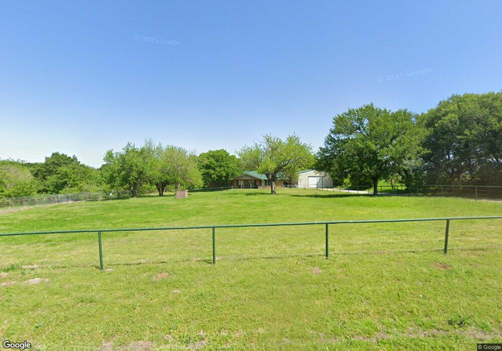
1755 Meadowlake Dr Sherman, TX 75092
Estimated Value: $388,000 - $413,298
--
Bed
--
Bath
2,073
Sq Ft
$193/Sq Ft
Est. Value
About This Home
This home is located at 1755 Meadowlake Dr, Sherman, TX 75092 and is currently estimated at $400,649, approximately $193 per square foot. 1755 Meadowlake Dr is a home located in Grayson County with nearby schools including S&S Consolidated Elementary School, S&S Consolidated Middle School, and S. & S. Cons H.S..
Ownership History
Date
Name
Owned For
Owner Type
Purchase Details
Closed on
Nov 12, 2024
Sold by
Hardin Thomas
Bought by
Hardin Thomas and Hardin Karie Ann
Current Estimated Value
Home Financials for this Owner
Home Financials are based on the most recent Mortgage that was taken out on this home.
Original Mortgage
$260,000
Outstanding Balance
$257,412
Interest Rate
6.12%
Mortgage Type
Credit Line Revolving
Estimated Equity
$143,237
Purchase Details
Closed on
Mar 19, 2018
Bought by
Hardin Thomas
Home Financials for this Owner
Home Financials are based on the most recent Mortgage that was taken out on this home.
Original Mortgage
$165,547
Interest Rate
4.44%
Create a Home Valuation Report for This Property
The Home Valuation Report is an in-depth analysis detailing your home's value as well as a comparison with similar homes in the area
Home Values in the Area
Average Home Value in this Area
Purchase History
| Date | Buyer | Sale Price | Title Company |
|---|---|---|---|
| Hardin Thomas | -- | None Listed On Document | |
| Hardin Thomas | -- | -- |
Source: Public Records
Mortgage History
| Date | Status | Borrower | Loan Amount |
|---|---|---|---|
| Open | Hardin Thomas | $260,000 | |
| Previous Owner | Hardin Thomas | $165,547 | |
| Previous Owner | Hardin Thomas | -- |
Source: Public Records
Tax History Compared to Growth
Tax History
| Year | Tax Paid | Tax Assessment Tax Assessment Total Assessment is a certain percentage of the fair market value that is determined by local assessors to be the total taxable value of land and additions on the property. | Land | Improvement |
|---|---|---|---|---|
| 2025 | $3,875 | $360,901 | $110,000 | $250,901 |
| 2024 | $5,138 | $344,980 | $0 | $0 |
| 2023 | $3,414 | $313,618 | $0 | $0 |
| 2022 | $4,783 | $285,107 | $0 | $0 |
| 2021 | $4,462 | $235,173 | $47,000 | $188,173 |
| 2020 | $4,588 | $234,495 | $28,000 | $206,495 |
| 2019 | $5,327 | $251,129 | $28,000 | $223,129 |
| 2018 | $3,409 | $188,239 | $28,000 | $160,239 |
| 2017 | $3,120 | $164,649 | $22,000 | $142,649 |
| 2016 | $2,837 | $161,690 | $22,000 | $139,690 |
| 2015 | $1,770 | $126,761 | $22,000 | $104,761 |
| 2014 | $1,871 | $121,772 | $22,000 | $99,772 |
Source: Public Records
Map
Nearby Homes
- 532 Roberts Run
- 5002 Mesquite Ridge Trail
- 3014 Preston Club Dr
- 3331 Preston Club Dr
- 3226 Preston Club Dr
- TBD 87 Acres Reynolds Ln
- 000 Hwy82/289 Texas 289
- 000 Texas 289
- 655 Naylor Rd
- 2310 Trailside Dr
- 2306 Trailside Dr
- 2302 Trailside Dr
- 2232 Trailside Dr
- 2228 Trailside Dr
- 2224 Trailside Dr
- 2220 Trailside Dr
- 2212 Trailside Dr
- 2213 Trailside Dr
- The Amherst Plan at Freeman Farm
- The Mason Plan at Freeman Farm
- 1805 Meadowlake Dr
- 1817 Meadowlake Dr
- 1865 Meadowlake Dr
- 1941 Meadowlake Dr
- 2703 N State Highway 289
- 2031 Meadowlake Dr
- 2865 N State Highway 289
- 1719 Meadowlake Dr
- 2909 Texas 289
- 2909 N State Highway 289 Unit 2905
- 2136 N State Highway 289
- 20480 W Us Highway 82
- 3089 N State Highway 289
- 204 Roelke Dr
- 352 Roberts Run
- 366 Roberts Run
- 374 Roberts Run
- 3159 Texas 289
- 3159 N State Highway 289
- 400 Roberts Run