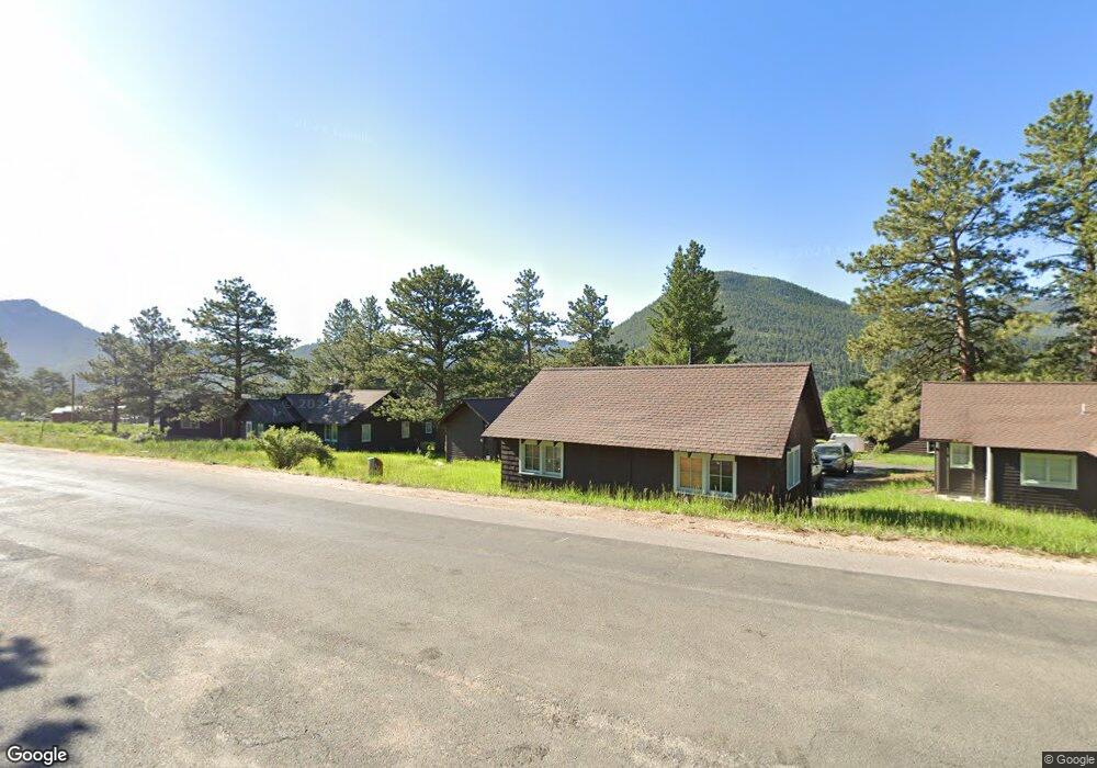
1755 Moraine Ave Estes Park, CO 80517
Estimated Value: $501,000 - $1,427,000
1
Bed
1
Bath
10,975
Sq Ft
$88/Sq Ft
Est. Value
About This Home
This home is located at 1755 Moraine Ave, Estes Park, CO 80517 and is currently estimated at $964,000, approximately $87 per square foot. 1755 Moraine Ave is a home located in Larimer County with nearby schools including Estes Park K-5 School, Estes Park Options School, and Estes Park Middle School.
Ownership History
Date
Name
Owned For
Owner Type
Purchase Details
Closed on
Aug 14, 2009
Sold by
Cit Small Business Lending Corporation
Bought by
S & E Enterprises Llc
Current Estimated Value
Home Financials for this Owner
Home Financials are based on the most recent Mortgage that was taken out on this home.
Original Mortgage
$249,325
Interest Rate
5.19%
Mortgage Type
Commercial
Purchase Details
Closed on
Jul 27, 2007
Sold by
Atkins Michael R
Bought by
Cit Small Business Lending Corp
Purchase Details
Closed on
Mar 6, 1998
Sold by
Jenista Marion E Judith M
Bought by
Atkins Michael R
Home Financials for this Owner
Home Financials are based on the most recent Mortgage that was taken out on this home.
Original Mortgage
$700,000
Interest Rate
9%
Mortgage Type
Seller Take Back
Purchase Details
Closed on
Jan 1, 1983
Create a Home Valuation Report for This Property
The Home Valuation Report is an in-depth analysis detailing your home's value as well as a comparison with similar homes in the area
Home Values in the Area
Average Home Value in this Area
Purchase History
| Date | Buyer | Sale Price | Title Company |
|---|---|---|---|
| S & E Enterprises Llc | $351,100 | Stewart Title | |
| Cit Small Business Lending Corp | $550,000 | None Available | |
| Atkins Michael R | $827,700 | -- | |
| -- | -- | -- |
Source: Public Records
Mortgage History
| Date | Status | Borrower | Loan Amount |
|---|---|---|---|
| Closed | S & E Enterprises Llc | $249,325 | |
| Previous Owner | Atkins Michael R | $700,000 |
Source: Public Records
Tax History Compared to Growth
Tax History
| Year | Tax Paid | Tax Assessment Tax Assessment Total Assessment is a certain percentage of the fair market value that is determined by local assessors to be the total taxable value of land and additions on the property. | Land | Improvement |
|---|---|---|---|---|
| 2025 | $14,980 | $221,788 | $145,298 | $76,490 |
| 2024 | $14,810 | $221,788 | $145,298 | $76,490 |
| 2022 | $25 | $95,288 | $49,405 | $45,883 |
| 2020 | $6,664 | $88,269 | $32,285 | $55,984 |
| 2019 | $6,615 | $88,269 | $32,285 | $55,984 |
| 2018 | $19 | $107,423 | $64,022 | $43,401 |
| 2017 | $0 | $107,423 | $64,022 | $43,401 |
| 2016 | $8,190 | $109,083 | $65,053 | $44,030 |
| 2015 | $8,087 | $180 | $0 | $180 |
Source: Public Records
Map
Nearby Homes
- 1611 High Dr
- 725 Upper Larkspur Ln
- 739 Larkspur Rd
- 1565 Highway 66 Unit 46
- 1565 Highway 66 Unit 33
- 1565 Highway 66 Unit 27
- 1565 Highway 66 Unit 49
- 1565 Highway 66 Unit 28
- 811 Larkspur Rd
- 831 Larkspur Rd
- 810 Larkspur Rd
- 1401 High Dr
- 1575 Lower Broadview Rd
- 2220 Eagle Cliff Rd
- 2238 Eagle Cliff Rd
- 1263 Broadview
- 870 Moraine Ave
- 1141 Wallace Ln
- 2325 Highway 66
- 0 Alpaca Farm Way
- 1755 Moraine Ave Unit 2.47 acres
- 1665 State Highway 66
- 1861 High Dr
- 1821 High Dr
- 1881 High Dr
- 1881 Upper High Dr
- 2085 High Dr
- 771 Laurel Ln
- 1841 High Dr
- 761 Laurel Ln
- 710 Tanager Rd
- 706 Tanager Rd
- 1771 High Dr
- 780 Laurel Ln
- 741 Laurel Ln
- 1751 High Dr
- 685 Tanager Rd
- 702 Tanager Rd
- 1760 Hummingbird Ln
- 690 Tanager Rd