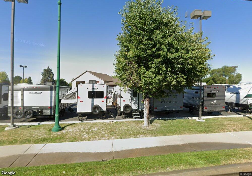
1755 N State St Orem, UT 84057
Aspen Neighborhood
Studio
--
Bath
7,734
Sq Ft
1.65
Acres
About This Home
This home is located at 1755 N State St, Orem, UT 84057. 1755 N State St is a home located in Utah County with nearby schools including Aspen Elementary School, Oak Canyon Junior High School, and Timpanogos High School.
Ownership History
Date
Name
Owned For
Owner Type
Purchase Details
Closed on
Jan 13, 2014
Sold by
Neal Michael E
Bought by
Neals Rv Center Inc
Home Financials for this Owner
Home Financials are based on the most recent Mortgage that was taken out on this home.
Original Mortgage
$720,000
Outstanding Balance
$540,836
Interest Rate
4.26%
Mortgage Type
Commercial
Purchase Details
Closed on
Aug 13, 2004
Sold by
Garrett Delane A
Bought by
Neal Michael E
Home Financials for this Owner
Home Financials are based on the most recent Mortgage that was taken out on this home.
Original Mortgage
$940,000
Interest Rate
5.97%
Mortgage Type
Commercial
Purchase Details
Closed on
Jun 14, 2001
Sold by
Mciff & Kay Enterprises Llc
Bought by
Garrett Delane A
Purchase Details
Closed on
May 1, 1999
Sold by
Garrett De Lane A and Garrett Beth C
Bought by
Mciff & Kay Enterprises Llc
Home Financials for this Owner
Home Financials are based on the most recent Mortgage that was taken out on this home.
Original Mortgage
$337,000
Interest Rate
6.84%
Mortgage Type
Construction
Create a Home Valuation Report for This Property
The Home Valuation Report is an in-depth analysis detailing your home's value as well as a comparison with similar homes in the area
Home Values in the Area
Average Home Value in this Area
Purchase History
| Date | Buyer | Sale Price | Title Company |
|---|---|---|---|
| Neals Rv Center Inc | -- | None Available | |
| Neal Michael E | -- | Security Title & Abstract | |
| Garrett Delane A | -- | -- | |
| Mciff & Kay Enterprises Llc | -- | Empire Land Title Company |
Source: Public Records
Mortgage History
| Date | Status | Borrower | Loan Amount |
|---|---|---|---|
| Open | Neals Rv Center Inc | $720,000 | |
| Previous Owner | Neal Michael E | $940,000 | |
| Previous Owner | Mciff & Kay Enterprises Llc | $337,000 | |
| Closed | Mciff & Kay Enterprises Llc | $850,000 | |
| Closed | Neal Michael E | $940,000 |
Source: Public Records
Tax History
| Year | Tax Paid | Tax Assessment Tax Assessment Total Assessment is a certain percentage of the fair market value that is determined by local assessors to be the total taxable value of land and additions on the property. | Land | Improvement |
|---|---|---|---|---|
| 2025 | $16,197 | $1,975,900 | $978,800 | $997,100 |
| 2024 | $16,197 | $1,980,500 | $0 | $0 |
| 2023 | $13,452 | $1,767,900 | $0 | $0 |
| 2022 | $13,035 | $1,659,700 | $772,700 | $887,000 |
| 2021 | $11,455 | $1,215,000 | $647,700 | $567,300 |
| 2020 | $12,951 | $1,350,000 | $680,100 | $669,900 |
| 2019 | $12,379 | $1,341,900 | $653,900 | $688,000 |
| 2018 | $11,805 | $1,222,700 | $622,700 | $600,000 |
| 2017 | $11,826 | $1,193,000 | $0 | $0 |
| 2016 | $12,529 | $1,165,500 | $0 | $0 |
| 2015 | $12,747 | $1,121,400 | $0 | $0 |
| 2014 | $10,534 | $922,500 | $0 | $0 |
Source: Public Records
Map
Nearby Homes
- 651 W 1800 N
- 1545 N State St Unit 1
- 442 W 1950 North St
- 1917 N 860 W
- 1547 N 275 West St Unit 5
- 1461 N Amiron Way Unit D
- 1461 N Amiron Way Unit B
- 597 W 1400 N
- 1405 N 770 W
- 967 W 1630 N
- 127 S 400 E
- 531 W 1350 N
- 1535 N 950 W
- 332 W Amiron Way Unit D
- 582 W 1300 N
- 1319 N 725 W
- 545 W 1240 N
- 87 W 1525 N
- 229 E 60 N
- 1167 W 1550 N