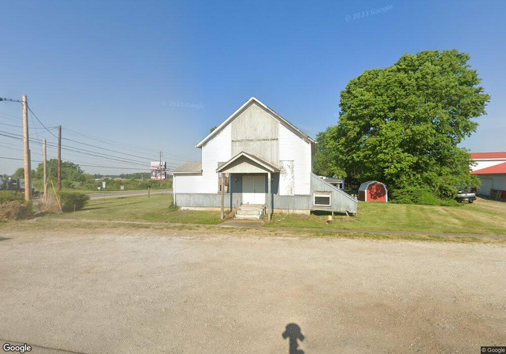
1755 National Rd SW Hebron, OH 43025
Union NeighborhoodEstimated Value: $352,000 - $364,857
--
Bed
1
Bath
5,000
Sq Ft
$72/Sq Ft
Est. Value
About This Home
This home is located at 1755 National Rd SW, Hebron, OH 43025 and is currently estimated at $358,429, approximately $71 per square foot. 1755 National Rd SW is a home located in Licking County with nearby schools including Jackson Intermediate School, Lakewood Middle School, and Lakewood High School.
Ownership History
Date
Name
Owned For
Owner Type
Purchase Details
Closed on
Jul 28, 2015
Sold by
Dms2 Llc
Bought by
Veljanovski Dimche
Current Estimated Value
Purchase Details
Closed on
Jul 1, 1997
Sold by
Sagraves Carl
Bought by
Steinke David M and Steinke Cheri L
Home Financials for this Owner
Home Financials are based on the most recent Mortgage that was taken out on this home.
Original Mortgage
$139,000
Interest Rate
7.5%
Mortgage Type
Commercial
Create a Home Valuation Report for This Property
The Home Valuation Report is an in-depth analysis detailing your home's value as well as a comparison with similar homes in the area
Home Values in the Area
Average Home Value in this Area
Purchase History
| Date | Buyer | Sale Price | Title Company |
|---|---|---|---|
| Veljanovski Dimche | $225,000 | First Ohio Title Ins Box | |
| Steinke David M | $215,000 | -- |
Source: Public Records
Mortgage History
| Date | Status | Borrower | Loan Amount |
|---|---|---|---|
| Previous Owner | Steinke David M | $139,000 |
Source: Public Records
Tax History Compared to Growth
Tax History
| Year | Tax Paid | Tax Assessment Tax Assessment Total Assessment is a certain percentage of the fair market value that is determined by local assessors to be the total taxable value of land and additions on the property. | Land | Improvement |
|---|---|---|---|---|
| 2024 | $3,058 | $69,440 | $69,440 | $0 |
| 2023 | $4,741 | $69,440 | $69,440 | $0 |
| 2022 | $1,708 | $34,720 | $34,720 | $0 |
| 2021 | $2,007 | $39,450 | $39,450 | $0 |
| 2020 | $2,084 | $39,450 | $39,450 | $0 |
| 2019 | $2,172 | $39,450 | $39,450 | $0 |
| 2018 | $2,374 | $0 | $0 | $0 |
| 2017 | $3,823 | $0 | $0 | $0 |
| 2016 | $2,963 | $0 | $0 | $0 |
| 2015 | $1,328 | $0 | $0 | $0 |
| 2014 | $3,813 | $0 | $0 | $0 |
| 2013 | $3,132 | $0 | $0 | $0 |
Source: Public Records
Map
Nearby Homes
- 0 Refugee Rd SE Unit 225031623
- 59 Squire Ln
- 104 Cumberland Meadows Cir
- 332 Waters Edge
- 140 Hamilton Ave
- 814 W Main St
- 219 Sycamore Rd
- 106 Newark St
- 153 S High St
- 6651 Lancaster Rd
- 1144 Lake Forest Dr
- 3313 Butternut Ln
- 575 E Main St
- 107 Wooster St
- 13556 Richards St NE
- 3308 Shepard Ave
- 4135 Walnut Rd
- 13474 W Bank Dr NE
- 3483 N Bank Rd
- 13404 W Bank Dr NE
- 1764 National Rd SW
- 225 National Rd SE
- 224 National Rd SE
- 9257 Lancaster Rd
- 9237 Lancaster Rd
- 296 National Rd SE
- 9215 Lancaster Rd
- 100 Caroline Dr
- 9470 Lancaster Rd
- 352 National Rd SE
- 9494 Lancaster Rd
- 9157 Lancaster Rd
- 360 National Rd SE
- 160 Caroline Dr
- 9139 Lancaster Rd
- 9115 Lancaster Rd
- 193 Caroline Dr
- 412 National Rd SE
- 9089 Lancaster Rd
- 206 Caroline Dr